

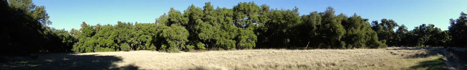
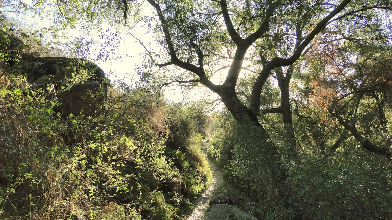
Chiquito Basin is a lovely stretch of meadows and woodlands in the Ortega Corridor of the Santa Ana Mountains. The San Juan Trail is a rugged single-track trail that runs from Blue Jay Campground to Highway 74 just east of Caspers Wilderness Park. The trail is quite popular with mountain bikers, but it can still be merged into a satisfying lollypop loop with the Old San Juan Trail.
Distance: 8.5 (estimated)
Elevation Gained: 900 (estimated)
Difficulty: Moderately Strenuous
Time: 3:30
Critters: Hummingbirds, hawks, 3 deer
Note: You will need an Adventure Pass to park here.
Details:

I was kind of a hot mess on this hike. At first, I set my backpack up on the trunk of my car, only to watch it fall off the trunk and sommersault its way into the middle of the road. Then, after I hit the trail, my cell phone fell out of the side pocket of my backpack while I was futzing with my clothes to get everything to fit just right. Of course, I didn’t notice that the phone was gone until I got to my first junction, at which point I went to it to consult the map. Without the phone, and without the guide book that I left at home on my night stand, and hence any semblance of a map, I was essentially hiking blind on a trail that is very poorly signed.
 |
| Catalina out beyond Laguna Hills |
These are the times while hiking when you learn things. I already know it’s stupid to lose your phone on a hike, so that wasn’t anything new. Instead, I took a lesson in navigating by my wits instead of relying on my electronics. I’m glad I was within sight of civilization nearly the entire time, and I’m sure I wouldn’t want to experience this in a more obscure, remote location. However, I had to navigate according to my wits, which meant I had to know directions without looking at the iPhone compass, and I had to judge distance without relying on my GPS.

I’m grateful for those conveniences, and I appreciate how they contribute to a safe, enjoyable experience. However, I realized how much I rely on electronics to know where I am going. That’s all well and good until the electronics stop working, in which case, I had to rely on my own good sense, my own navigational skills, and the estimations based upon those two factors. I’m here writing this blog, which tells you I did fine. That is largely because I relied on landmarks, directional sense, and thorough research done prior to hiking. In other words, I was prepared for being unprepared.

When I tell people what I do, the most common response is, “Is that really safe?” and “Don’t you get scared?” The answer is always yes and no, respectively. I maintain that a well-prepared hiker, who has abundant water, good navigation skills, an understanding of the terrain, a well-researched understanding of the trail network, and an aversion toward taking risks is probably as safe or safer than somebody commuting for an hour on a freeway.
In a car, the pace is rapid, and there are multiple potential distractions, including cell phones, passengers, billboards, other drivers, music, and your own thoughts. A hiker rarely moves faster than 3 mph, and while there are numerous risks from wildlife to getting lost to getting dehydrated, there are a number of steps, which I’ve already cited, one can take to avoid a problem. Consequently, after three years and 2700 miles of hiking, nothing has happened. Something absolutely could happen, and that’s why I’m careful. I also don’t mean to dismiss or ignore the potential risks. However, hiking is perfectly safe for the well-prepared individual. Unless of course, that well-prepared individual does something stupid like lose his phone and forget his guidebook. Whups.

Now that I’ve run on and on about that, let me sum up the hike. I lost the phone, but found my way anyway. I enjoyed a dense, shady woodland as well as open, sunny ridges with views to the sea. I kept my route simply and accurately judged my way back. A couple of mountain bikers found my phone and left it on my car, thus making it impossible for me to bad-mouth mountain bikers. This part of the Santa Ana Mountains is beautiful, and I would like to come back here and camp sometime.
January: 42.2
Year-to-Date: 42.2

You and your phones. I love you, you crazy man.