

 |
| The view from Soapstone Grade |
 |
| Green Valley |
This long, elliptical loop travels through some of the less-traveled portions of Cuyamaca Rancho State Park. The first half, Soapstone Grade, grants wide-open views of meadows and far-off mountains, while the second half, Green Valley, travels along the headwaters (dry) of the Sweetwater River through gradually-recovering riparian woodland.
Distance: 12.3
Elevation Gained: 1,250
Difficulty: Moderate
Time: 5:20, with stops
Critters: Quails, rabbits, squirrels, hawks, ravens, turkeys, and four deer
Details:
 |
| One last push to the summit |
Cuyamaca is still a tough one for me. On one hand, I love how the park offers endless opportunities for long, rambling walkabouts with great variety of scenery. I love that I always see wildlife. And I love that most of the park can be accessed for free, despite state park admission being relatively pricey. On the other hand, ten years after the Cedar Fire and the evidence of devastation is still impossible to ignore. Therefore, it’s impossible for me not to feel a little sad every time I come here.
 |
| Stonewall Peak (left) and Cuyamaca Peak (right) |
Ultimately, every visitor has to take the good with the bad. You are absolutely certain to encounter dead trees around every bend, and there is no blunting the impact of that. Multiple that impact if you’re the sort of person who worries about climate change. Likewise, you are just as certain to encounter wildlife, sunny meadows, and great views. It will take another 100 years and a lot of blessings from the weather gods for Cuyamaca to be what it once was.
 |
| The Volcan Mountains (left), Santa Rosa Mountain (center), and Hot Springs Mountain (right) in the distance |
And so, I find ways to enjoy what Cuyamaca is now, which, fortunately, is a beautiful place. Some of the landscape, especially the meadows, seem to have recovered. Other aspects, such as the oak trees, are in the process of recovering. And of course, there is the option of a long walkabout. Between Cuyamaca and the Laguna Mountains, there are so many different combinations to create 10-15 mile hikes, that I doubt I will exhaust the possibilities in my lifetime.

Today’s loop took me along the wide-open meadows east of Lake Cuyamaca via the Soapstone Grade, which is so named because of the chunks of soapstone left lying about all over the place. The road dates back to the mining boom that first established white people in this region. Interestingly, the meadows here used to be densely forested in the same way that the Laguna Mountains are forested. As the mining boom hit, timber was needed, and so a meadow was born.
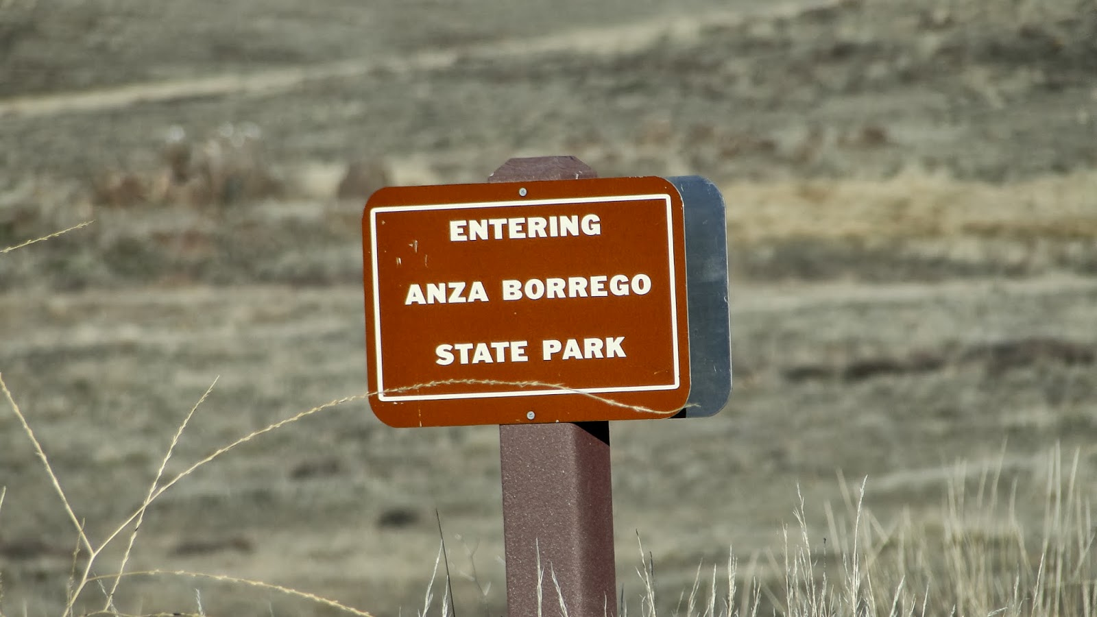

This region of the park butts up against the extreme west end of Anza-Borrego. The enduring image of Anza-Borrego is that of vast deserts and barren mountains, but this segment of the park actually features oaks, conifers, meadows, and seasonal streams. It’s quite a contrast to what the rest of Anza-Borrego is like. The presence of two of the largest state parks in California, side-by-side, along with ajoining Cleveland National Forest, explains why there are so many hiking opportunities here. Tens of thousands of acres are set aside as far as the feet can walk.
 |
| Oak Tree in full recovery mode |
After crossing the meadows, Soapstone Grade becomes the California Riding and Hiking Trail before intersecting with Sunrise Highway. Just past Sunrise Highway, one can connect with the PCT. I considered jumping on the PCT and adding about 5 miles to the hike today, but I concluded that I didn’t have the appetite for it today. Instead, I followed the La Cima Trail to the top of Green Valley.
 |
| Stonewall Peak |
Green Valley seems to have been hit particularly hard by the Cedar Fire. Many of the oaks, which are fire-adapted, were burned beyond resurrection. Almost all of the conifers are gone. The chaparral is as healthy as ever, but the blackened trunks and bleached branches are omnipresent. As such, there isn’t a lot of shade, so this hike can be hot even on a relatively cool day. Gradually, the trees start to improve as the riverbed becomes more defined. The river itself is dry right now, but after being fed by springs upstream, the Sweetwater actually provides a fair amount of drinking water to San Diego.

Eventually, the trail comes to a junction that will take you either to the Visitor Center or back to the West Mesa trailhead (starting point). It’s a quick hike back, although there are plenty of options to lengthen the trip – as if 12 miles wasn’t long enough. I once hiked 20 miles in a day here and covered only a fraction of the territory. Cuyamaca is vast.

One last pleasant surprise. The Cuyamacas have received a good amount of rainfall dating from August-September monsoons and from the start of the “rainy” season in October. Although Cuyamaca has certainly fallen behind the curve, it had received above-average precipitation prior to the current dry spell. As a result, there’s a lot of green going on, even if it will be hard to sustain without more rain soon.
Rain, damn it. Rain.

January: 30.5
Year-to-date: 30.5
