
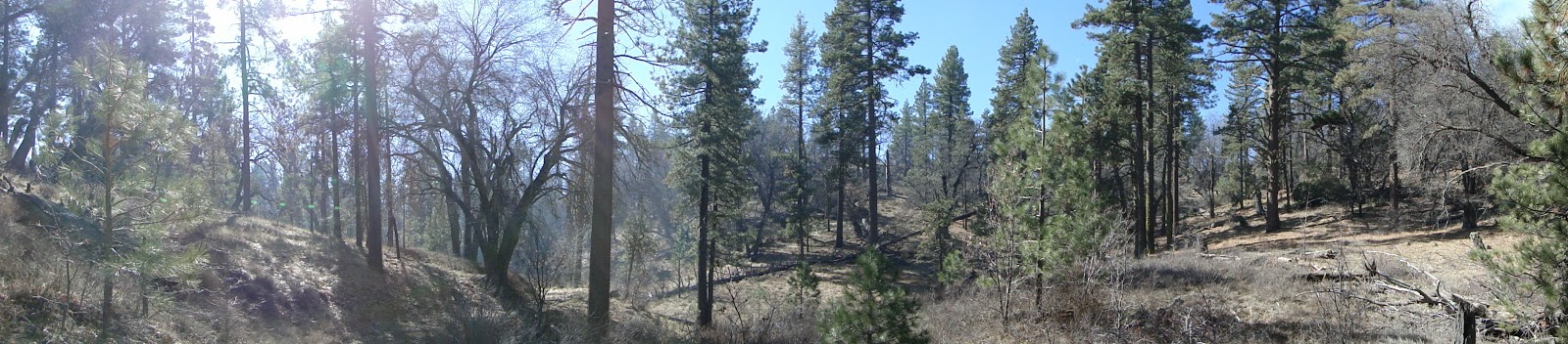
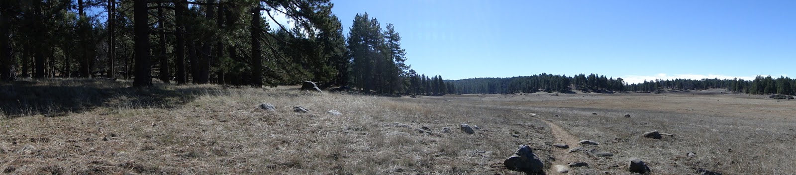
The Agua Dulce Loop is a 6+ mile loop taking in some of the finest forest in the Laguna Mountains, as well as the southern end of Laguna Meadow. This particular loop takes you along Agua Dulce Creek, which provides enough moisture to support a thriving mixed-conifer and oak forest, while providing countless places to stop and enjoy the beauty of the Laguna Mountains.
Distance: 6.3 Miles
Elevation Gained: 600′
Difficulty: Moderate
Time: 2:20
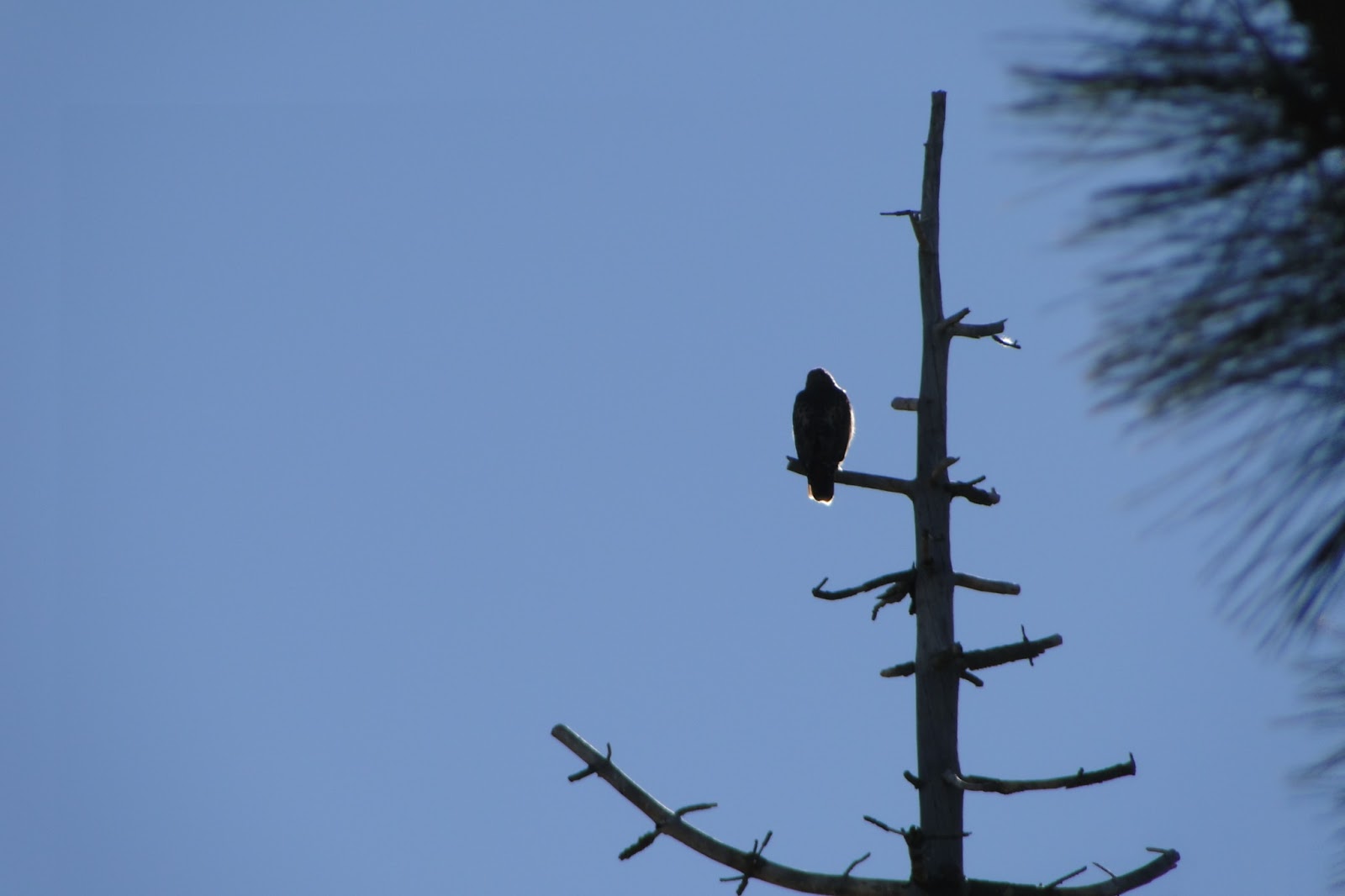
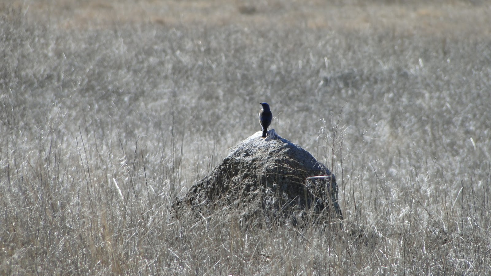
Critters: Hawks, doves, quail, squirrels
Agua Dulce Loop
http://www.everytrail.com/swf/widget.swf
EveryTrail – Find the best Hiking in Californiahttp://www.everytrail.com/trip/widgetimpression?trip_id=2005852
Note: You will need an Adventure Pass
Along with Palomar Mountain, the Laguna Mountains provide some of the best hiking in all of San Diego. The Lagunas are the highest road-accessible point in San Diego, and the climate supports a lovely Jeffrey pine and black oak forest. Also notable here is the massive Laguna Meadow, also features a number of man-supported lakes that hold water for a good part of the year. Other parts of the Lagunas feature great desert views and peaks, but those sections are not included in this loop.

The Agua Dulce Loop is a patchwork loop pieced together and described by Jerry Schad, author of the Afoot and Afield series for Orange, Los Angeles, and San Diego Counties. This loop starts at the Meadows Information Center on Sunrise Highway, takes the old county roadbed to a junction with the Agua Dulce Creek fire road, joins up with the Big Laguna Trail, and then comes back around on a branch of the Sunset Trail, thus connecting many of the major trails on the southern half of the Lagunas.
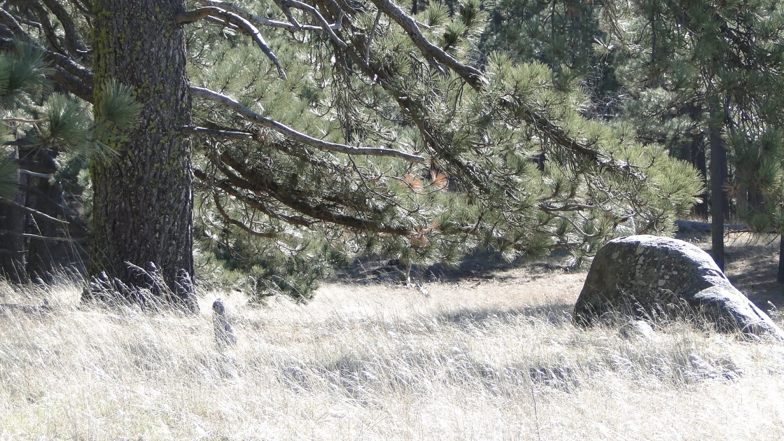
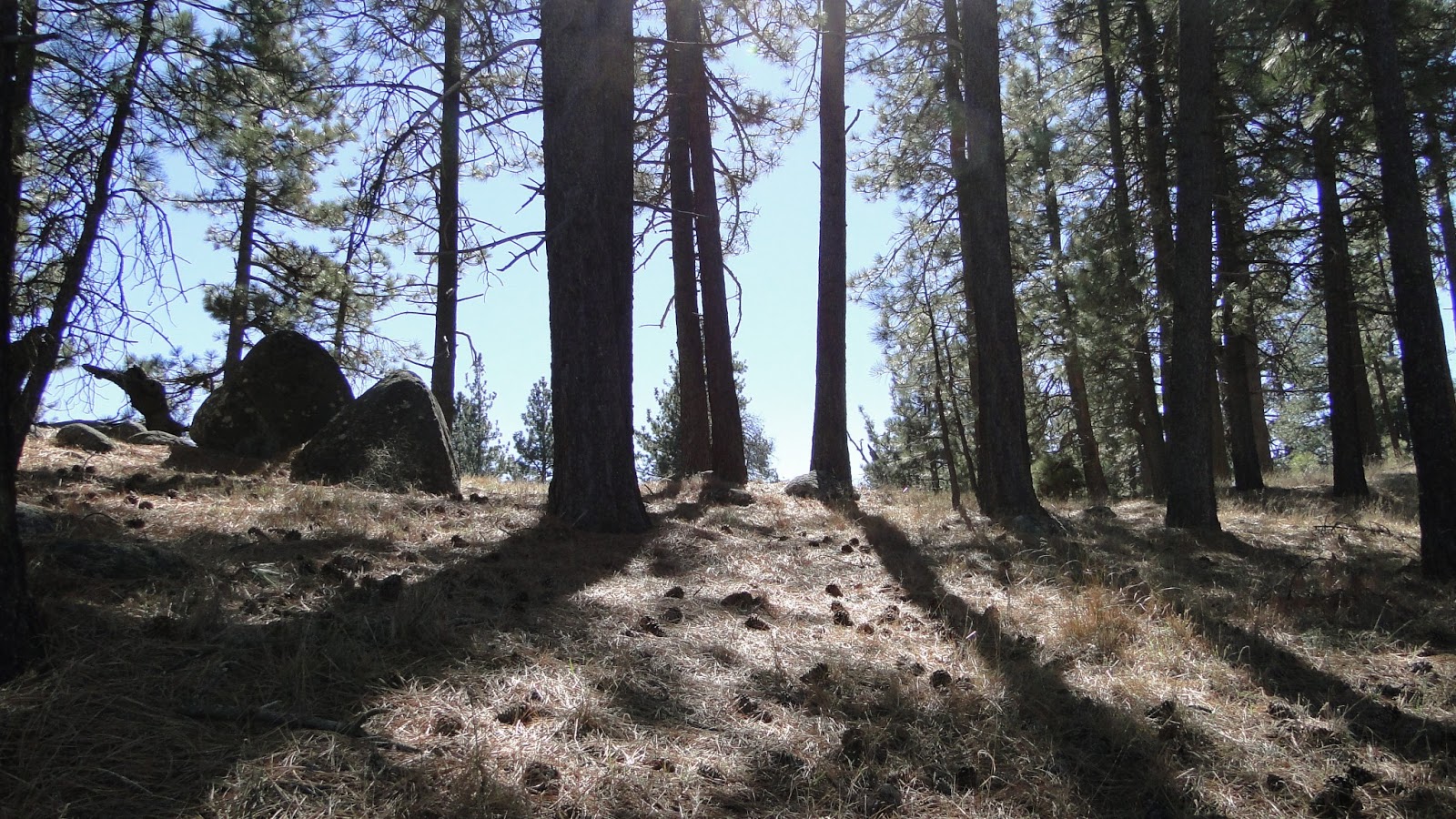
This trail focuses mainly on the forest, although the meadow is a big part of the last third of the hike. The Old County Road and Agua Dulce Road travel through some of the finest stretches of pine forest in all of Southern California and then down through a shallow ravine through which Agua Dulce Creek runs. The pines here are all Jeffrey pines, and when the sun bakes the needles on the forest floor, the air is rich with the characteristic vanilla scent of these trees.
I came on a day when the forest service was conducting a prescribed burn of an area of forest along the Old Country Road. It was interesting to see the process up close and to be escorted along the burn by a fireman. The forest service had what looked like two massive kiddy pools filled with water, from which they could douse the blaze if it got out of hand. The forest service conducts these burns to clear out detritus and little on the forest floor. This prevents forest fires from getting out of control and taking down the larger, older trees.

The plants in these areas evolved to adapt with frequent fires. Before massive settlements, fire used to range through these areas with frequency without killing the forest. This occurred because litter – dead trees, leaves and needles, and shrubs – were never allowed to accumulate to the point of danger. After years of fire suppression, a lot of crap has accumulated beneath the trees, which allows a forest to get very big and very hot. These conditions, along with drought, were responsible for virtually destroying the nearby Cuyamaca forest.
This trail is a great condensed alternative to the 10-12 mile Big Laguna Trail Loop. The BLT comprises much of the same type of forest and meadow, but it also includes a stretch of PCT that features great views. This trail is essentially the same sort of thing, minus the PCT. This makes it inferior from a variety standpoint, but the relative brevity of the hike may make it a pleasant alternative for those who like their hikes in the more moderate 6 mile range.
Cool, shaded forest hikes over flat terrain are hard to come by in San Diego, much less anywhere. This region is one of the gems of Southern California, and this loop is a great introduction as much as it is a welcome respite for any veteran hiker.
