

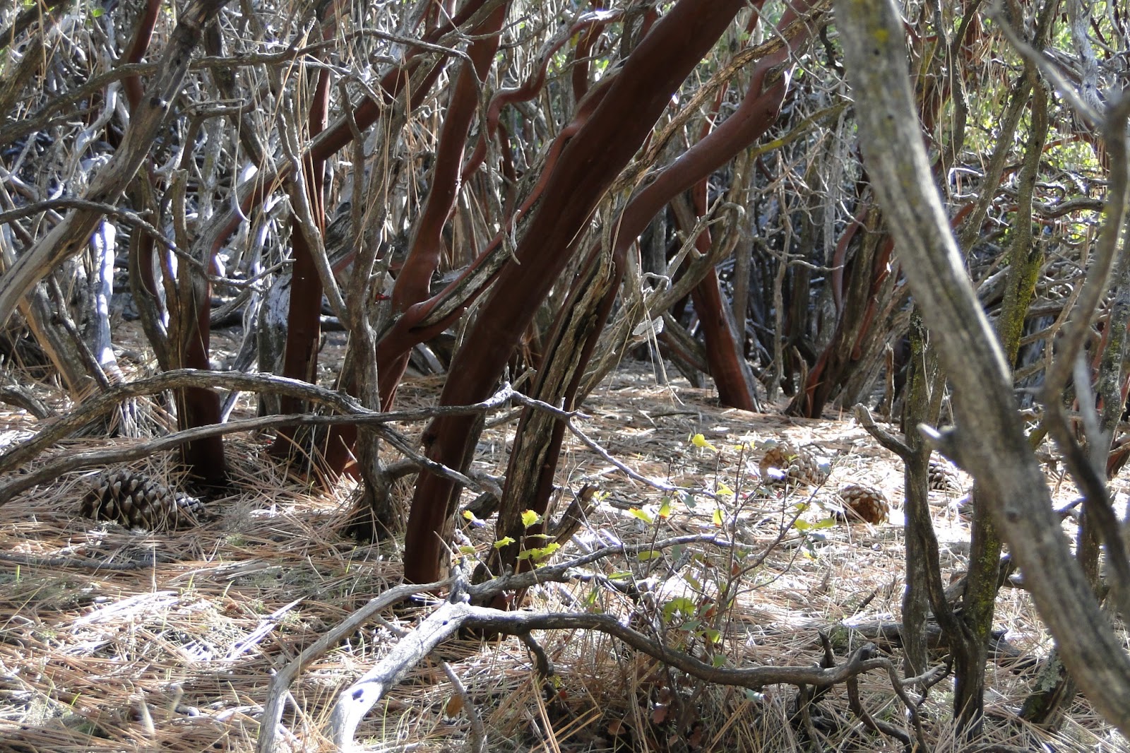
Guatay Mountain is a moderate-height peak that lies just south of Cuyamaca Rancho State Park. The park features the usual views, but the noteworthy aspect of this mountain is that it is home to the Tecate Cypress, which grows in a handful of locales in Orange and San Diego Counties.
Distance: 5.7
Elevation Gained: 1,600′
Difficulty: Moderately Strenuous
Time: 2:30
Critters: Rabbits
Guatay Mountain
http://www.everytrail.com/swf/widget.swf
EveryTrail – Find the best Hiking in Californiahttp://www.everytrail.com/trip/widgetimpression?trip_id=2005714
Note: You will need an Adventure Pass for this hike (Cleveland National Forest).

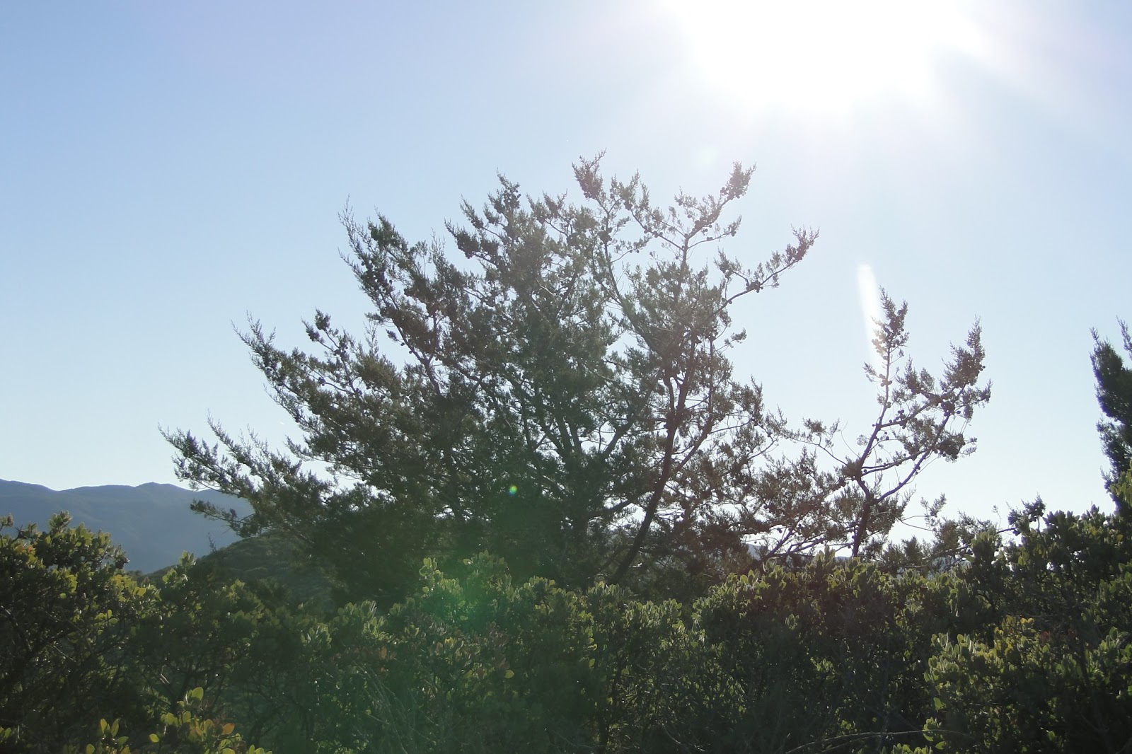
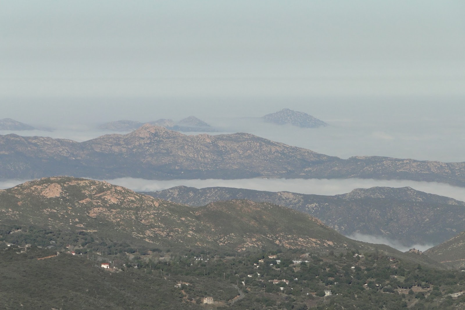
Guatay Mountain is one of the many peaks available for hiking in eastern San Diego County. Many of these peaks feature variations on the same themes: 360′ views of San Diego County, chaparral, and a good cardio-vascular workout. It’s tempting sometimes to take the “Done one, done ’em all” attitude. However, each peak offers its own variations that make each hike (generally) worthwhile.
Of particular interest on Guatay Mountain is a small grove of Tecate Cypresses. This relict species cypress grows only in a handful of places, and the best examples of the trees may be found here. The trees themselves are not the largest of all trees, but as with all trees in the cypress family, which ranges from the lowest juniper to the mightiest Sequoia, they have an abundance of peculiar character and are beautiful in their own way.
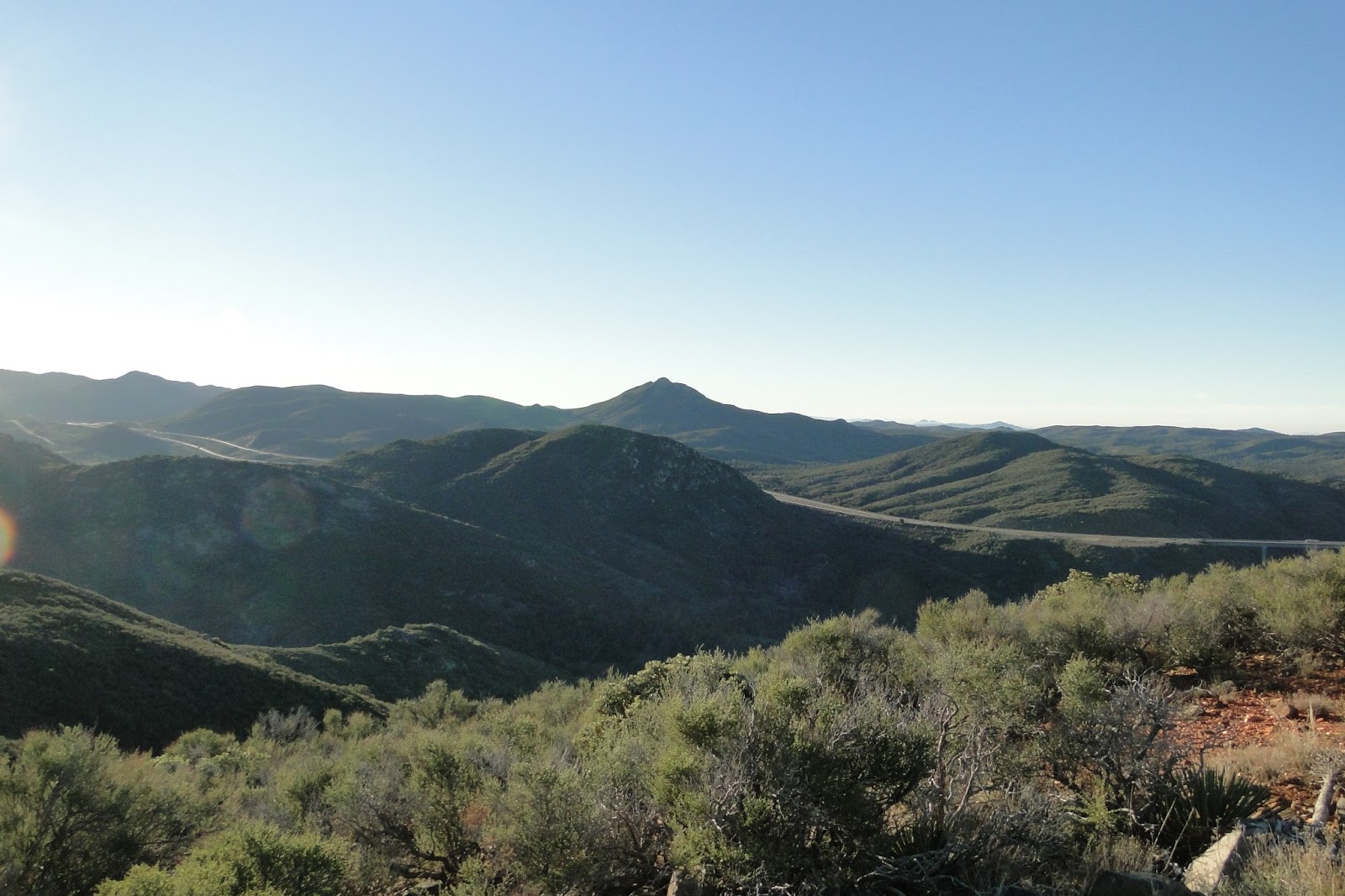
While the cypresses are enough for a tree junky like me to take this hike, the actual peak experience is respectable. The views are similar to slightly larger peaks in the area (Oakzanita, Cuyamaca), but this hike may be more challenging. There are a number of up and down stretches, and the next-to-final ascent was one of the toughest stretches of trail I’ve hiked due to its extreme upward grade.
Things to be wary of: The trail is largely unmaintained in the upper stretches, and the amount of vegetation and rock make the going a little slow. If you’re interested in the cypresses, there is a side road that takes you around to the largest concentration, but that’s a steep side-trip as well. Finally, the trailhead can be a little confusing to find. After parking at the Pine Creek Trailhead, backtrack on the entry road about .2 mile, just past a sharp bend in the road, to a slightly overgrown path that leads through a gate. That’s your trail, right there.
All in all, not a bad hike. By itself, it wasn’t worth an hour drive. However, this trail is close to Cuyamaca and the Laguna Mountains, so if you want to double-dip (as I did), you can make a really satisfying day out.

This is awesoome