

Tucked away high atop a ridge in Los Padres National Forest north of Ojai lie five “dry lakes.” These “lakes” are actually meadows, even though they look like they could hold water, given enough precipitation. This unusual, perhaps unique environment is as tranquil and beautiful as it is surprising.
Distance: 5 Miles
Elevation Gained: 1,600
Difficulty: Moderately Strenuous
Time: 3:00
Critters: Hawks soaring on updrafts
Dry Lakes Ridge
http://www.everytrail.com/swf/widget.swf
EveryTrail – Find the best Hiking in Californiahttp://www.everytrail.com/trip/widgetimpression?trip_id=2007529
Note: You will need an Adventure Pass to park here.
I became aware of Dry Lakes Ridge after reading a blog from Derek Loranger, who writes the 100 Peaks blog. I have to give him credit because I never new such a place existed until I came across his blog. This is an unusual place in that one can find meadows at the top of a ridge that juts out inbetween Pine Mountain Ridge and Wheeler Gorge just north of Ojai. My image of a meadow is one that sits in the middle of the forest or at the bottom of a canyon, a la Yosemite and Sequoia. To find them atop a chaparral covered ridge seems preposterous and unlikely.

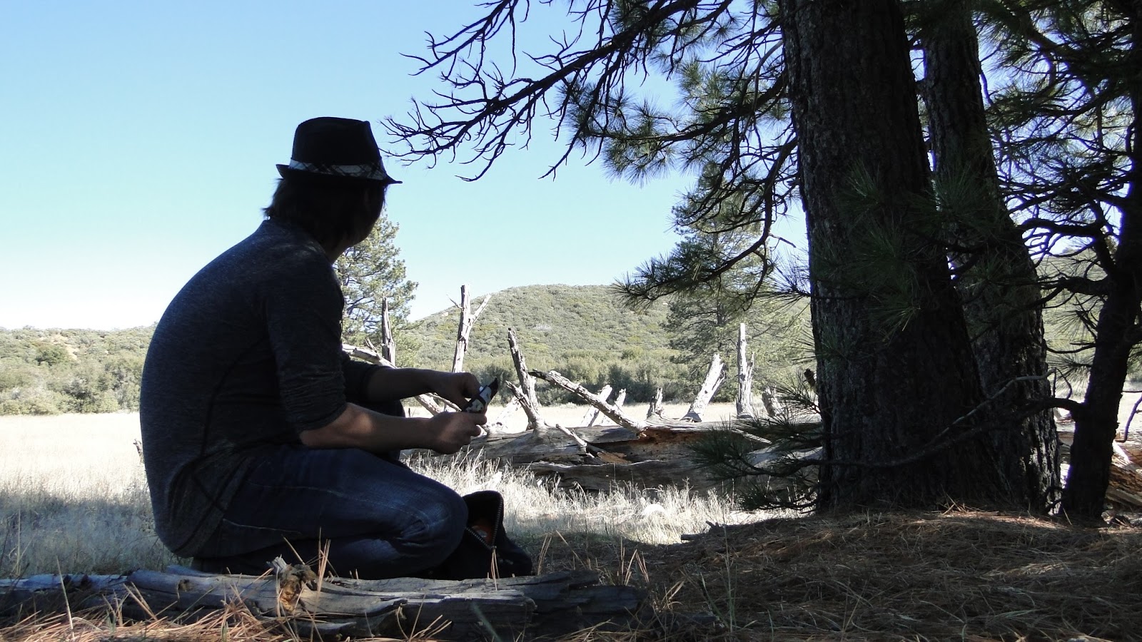
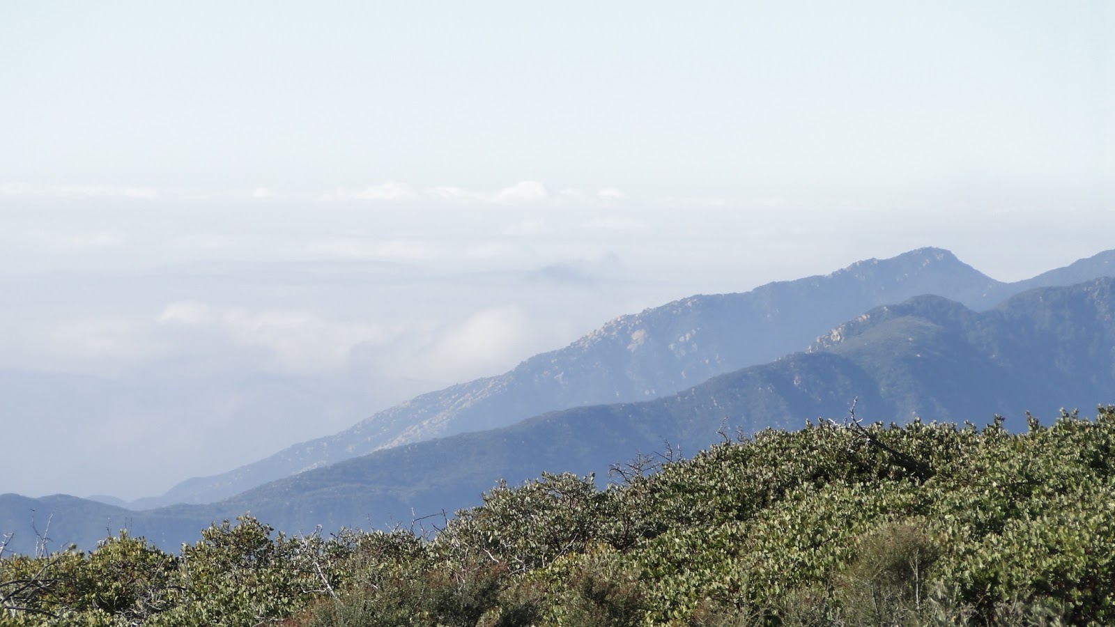
And yet, there they are – five of them, in fact. You do have to pay a bit of a toll to get there. The first hill you climb up is a no-nonsense, overgrown fire-break that ascends 1,200 relentless feet over the space of a mile before topping out along the main ridgeline. On this section, which is memorable mainly for the expanding views as the punishment, one must push through a lot of brushes, including the newly-dubbed “Asshole Bush,” that seem to want to take a piece of you before you can pass.

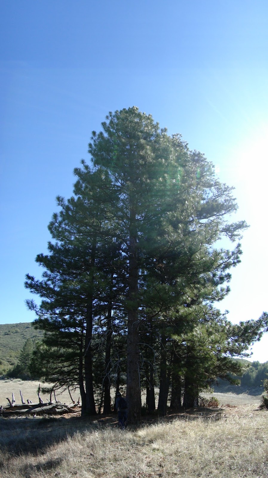
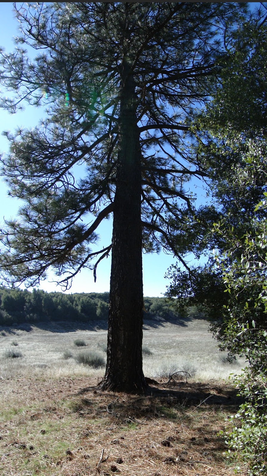
The reward for all of this huffing, puffing, cursing, and grumbling is the appearance of a dry meadow, clothed in sagebrush and studded with a handful of towering Ponderosa pines. Even with the expectation of these things being here, the revelation is a little unexpected and surprising. Pine trees are rare enough below 5,000′ in Caliornia (this ridge tops out at 4,850′), but to see them on what appears to be one of an infinite number of chaparral-covered ridges is almost preposterous.

As you go, the brush continues to clog the trail, which is clearly un-maintained. Taylor and I had the fanciful idea that we come up here on a backpacking trip, armed with machetes. We would hack away at some of the Asshole Bush, in order to clear a trail to Lake 5, which opens up more trails on a ridgeline that extends for what appears to be a number of miles, before it reaches a peak. I don’t know how the Forest Service feels about impromptu trail volunteers, but this trail needs it.
I guess poor-maintenance is to be expected since this trail appears to be traveled very lightly. We saw some evidence of footprints, but they could have been a week old, given the recent paucity of rainfall. We saw more evidence of animal scat that humans, which makes this unassuming, hidden gem even more valuable for those looking for silence and solitude. This is a truly great hike in a beautiful area of Ventura County. Although it was previously unknown and unconsidered to me, I look forward to exploring this corner of Los Padres more thoroughly in the future.

Glad you made it up there! Sounds like you had a nice day.
Yeah, it was gorgeous. Loved the place. I'm really glad that you posted on it and that I was lucky enough to come across your post.
Additionally, I plan on checking out Reyes Peak and Haddock Mountain, both of which I salivated over on this hike.
I don't make it to Ventura County often, but do you have any other recommendations?
I am not sure if it fared well over the fires, but the area around Sandstone and Sandstone Peak looks great near Pt. Mugu State Park. I am just scratching the surface of the area, too. There are a lot of front country trails that are nice.
Check out Craig Carey's Book, Hiking and Backpacking Santa Barbara and Ventura. It has all the information that you would ever need.
According to the Santa Monica Recreation Area site, most of the Mishe Mokwa Trail to Sandstone Peak was spared. The same cannot be said for Pt. Mugu, which was thouroughly torched. Sad, but it will come back.
Thanks for the recommendation. I'll check that out.
The term Asshole Bush pops into my head every once in a while. Thanks to you. Cheers.