

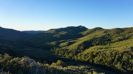
Note: Fall color photos are from November 2014. The photo of Thunder Valley is from June 2018.
In the most casual way possible, I’ve been re-hiking the 5th edition of Afoot and Afield in case there ends up being a 6th edition at some point in the future. I’m not approaching anything in a systematic way, but I have started making a point of avoiding repeats.
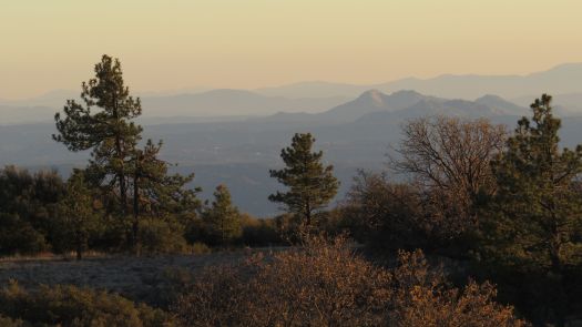
Today’s re-exploration brought me to Long Canyon, a new route that introduced to the 5th. I came across Long Canyon on a one-way PCT trip from Boulder Oaks to Desert View Picnic Area, and I fell in love with the narrow, linear canyon. I visited in November 2014, and the black oaks and willows in the canyon were a beautiful gold.
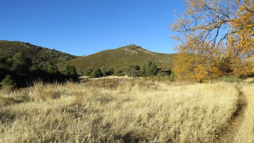
This was one of those “the journey is the destination” routes that doesn’t really focus on a standout turnaround. The canyon itself makes a so-so day-hiking destination, at least from a scenic standpoint, but it does work well as a backpacking destination. Running water is usually present, especially during the wetter half of the year. There are several pleasant campsites along the creek that get their heaviest usage from PCT hikers during April and May.
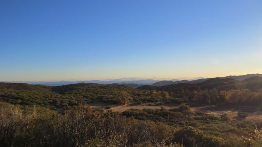
I still stand by this route’s inclusion, and re-scouting it helped remind me what I loved about it in the first place. The segment of the PCT from Burnt Rancheria south to Long Canyon is one of my favorite stretches of the trail in San Diego County. The trail spends most of its time in the usual pine-oak forest scheme common to the Lagunas, but there’s a more diverse stretch of forest that adds incense cedar and canyon live oak along La Posta Creek. The views south toward Lake Morena are outstanding, and the availability of a backpacking destination with running water is icing on the cake.
However, keep in mind that in this day and age of shortened rain seasons, reliable running water is not as reliable as it once was. Follow weather patterns closely; if it has rained a fair amount over the last few months, there’s a good chance there will be water in the creek.
I also took a return route through Burnt Rancheria Campground on two segments of the Desert View Trail – I parked at Desert View Picnic Area. On the Desert View Nature Trail Loop, the PCT doubles as the Desert View Trail for a short stretch between two segments on the south and north side of the campground. I hiked through the campground to that route’s starting point, and then I continued through the campground to the northern branch.
It appears that somebody cut a continuation of the Desert View Trail connecting all the way to the picnic trail. It parallels the PCT about 30 feet upslope, and the views are essentially the same. I don’t know if this is a formal trail or something user-created. It seemed a little too well-groomed to be user-created, but I haven’t heard of any efforts to create a continuation of the Desert View Trail to the picnic area. Nice bit of walking, but I don’t know if the trail is legit.
All-in-all, I didn’t see any dramatic changes on this route from what I saw 5.5 years ago. Everything still looks great, although perhaps there are more dead pines from drought and dead oaks from gold-spotted oak borer. Great hike if you want to get away from the mountain biker traffic in the meadows.

This is a good section. I did it during one-way NOBO section hike but I think you are right in that southbound would have much better views.