Note: Most of these photos were either from January of 2015 or June of 2015.
In early January, I re-scouted the Indian Creek and Garnet Peak routes from Afoot and Afield as part of an extremely casual re-hiking of the entire book. Of course, we’ll see if I really re-hike the whole thing. Jerry Schad didn’t re-hike a lot of stuff between editions, so we will see what I end up doing.
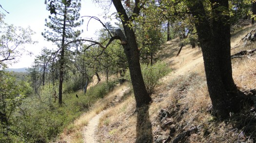
I took the Indian Creek and Garnet Peak hikes together as one big loop (I prefer Garnet Peak from Penny Pines trailhead anyway). I initially planned to include the Pine Mountain Trail to Champagne Pass, but I was still recovering from a sinus infection (which I absolutely exacerbated to devastating effect from hiking in the cold).
As I’ve been looking back at the book, I’ve been toying with ways to condense as much as I can to make way for new hikes and to avoid turning the book into a 30 pound anchor. I had my eyes on smushing together the Pine Mountain and Indian Creek Loops, since the two trails share a fair amount of trail together. Furthermore, the Indian Creek Loop follows a segment of informal trail that is rather confusing, and even though it’s nice to walk along the meadow, the confusing part gets me every time I hike it. If it gets me, it probably gets other people.
After re-hiking it, despite skipping Pine Mountain, I’ve concluded that I will merge the two routes as a space saver. I’ll probably include description of the informal trail along the creek, but only as a “hey, if you want to bail at a certain point, go this way” sort of disclaimer. I expect I’ll also maintain some text about taking the side trip up to Garnet Peak.
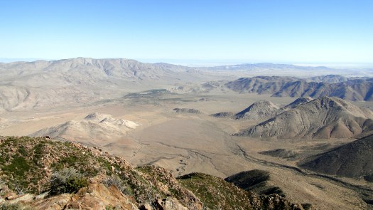
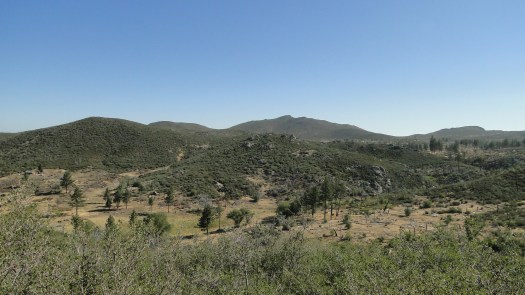
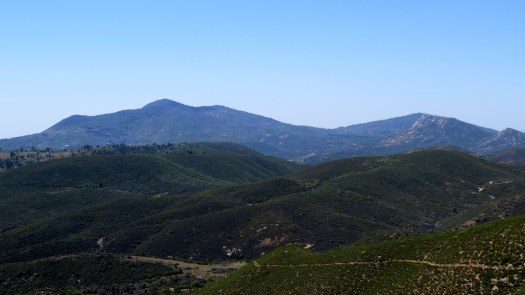
Garnet Peak is unchanged, although the vegetation is filling back in nicely after the 2012 Chariot Fire. I had seen some signs of poodle dog bush up top, but I didn’t see anything on this trip. I’ll keep Garnet Peak as is, since it’s a popular trail. However, if you want a treat, try hiking north from Penny Pines Trailhead on the PCT, and then climbing Garnet Peak. Yes, it spoils the “big reveal” view, but that’s a really beautiful segment of PCT, and it’s nice for folks who want something more involved than the short jaunt up to the top.
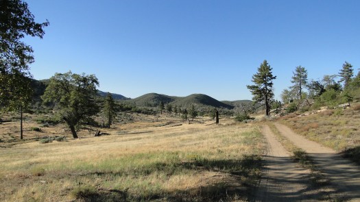
I like this route as a backpacking option. It’s a reasonable length without a lot of climbing, which makes it more inviting for backpacking newbies – it’s just north of the recreation area boundary. During the winter and spring, there’s water in Indian Creek, and there are some nice campsites not too far from the creek itself. The views at Champagne Pass, Garnet Peak, and along the PCT are among some of the best in the county. You can also expect a lot fewer people here than around the meadow, which gives it that special solitude boost.