

 |
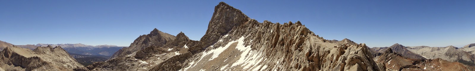
| Sawtooth Peak |
I’ve been writing for Modern Hiker, that’s where. My own personal blog has slipped off the radar as I’ve focused on a number of different things at once. Fortunately, I’ve been hiking a ton, and will use this post to look back at what I’ve done over the past six months.
 |
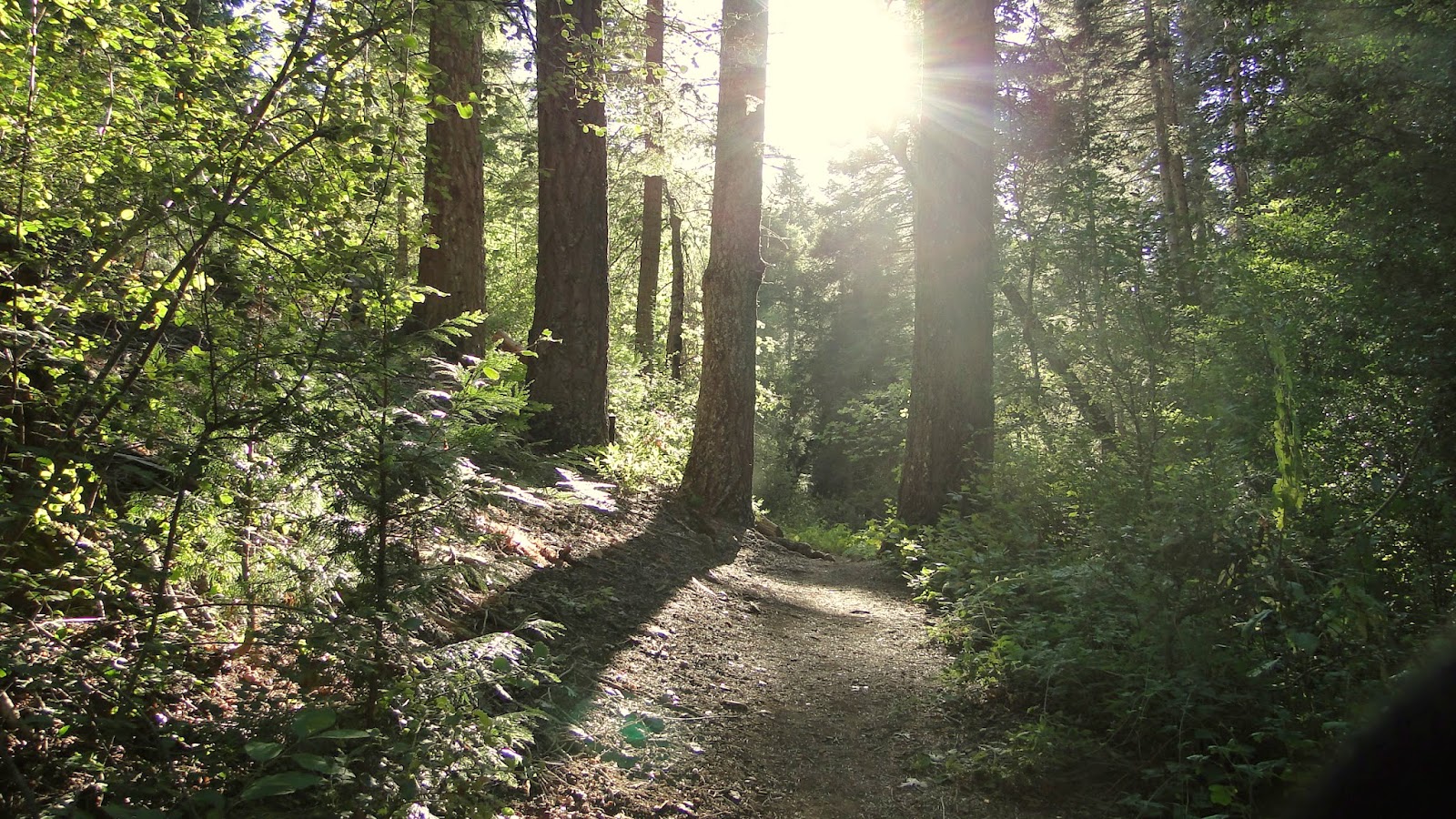
| Mt. San Jacinto from Cutca Valley |
1. Hiked. To date, I’ve hiked 596.3 miles, gaining 107,030′ of elevation. Many of these hikes were done either to cover San Diego for Modern Hiker or to prepare for the High Sierra Trail and John Muir Trail.
These are the hikes I have done. If the hike is in bold, it indicates that it was a particularly awesome hike:
| 1/2/2014 | Daley Ranch | 9.2 | 1100 |
| 1/6/2014 | Rodriguez Mountain | 9 | 1760 |
| 1/9/2014 | Soapstone Grade/Green Valley Loop | 12.3 | 1250 |
| 1/10/2014 | Batiquitos Lagoon | 3.2 | 50 |
| 1/13/2014 | Chiquito Basin | 8.5 | 900 |
| 1/16/2014 | Sweetwater River/Green Valley Falls | 7.5 | 850 |
| 1/16/2014 | Granite Springs Campground | 5 | 1200 |
| 1/17/2014 | Return | 4.4 | 200 |
| 1/20/2014 | Nate Harrison Grade | 6 | 1420 |
| 1/20/2014 | Boucher, Baptist, Doane Valley Loop | 7.1 | 1500 |
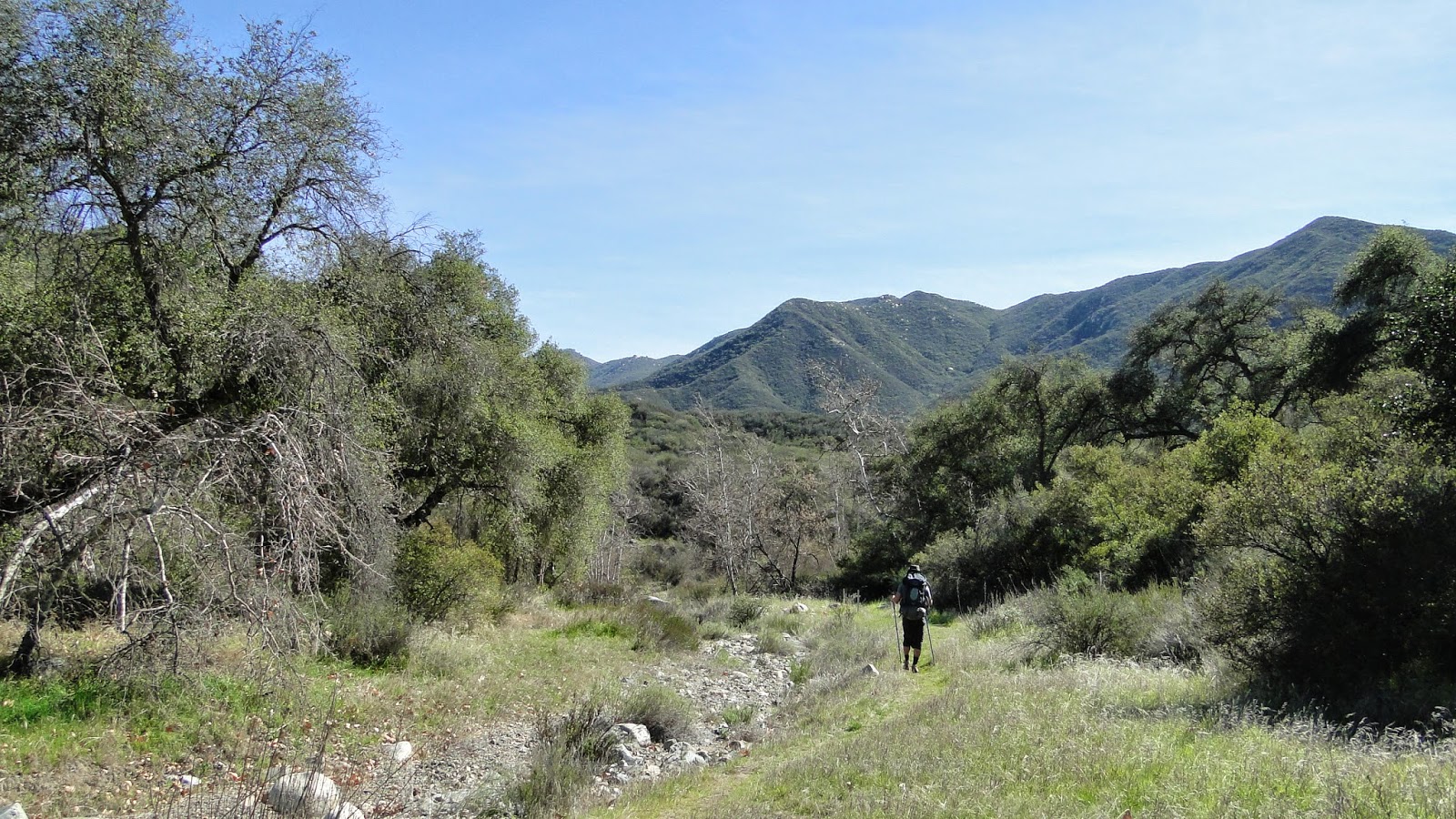
| 1/23/2014 | Eagle Crag via Cutca Trail | 18 | 4200 |
| 1/27/2014 | Batiquitos Lagoon | 3.2 | 50 |
| 1/31/2014 | Mt. Gower | 8.4 | 2600 |
| 2/4/2014 | Batiquitos Lagoon | 3.2 | 50 |
| 2/7/2014 | Santa Cruz Island | 8.5 | 1800 |
| 2/8/2014 | Fisherman’s Camp | 3.7 | 600 |
| 2/10/2014 | Batiquitos Lagoon | 3.2 | 50 |
| 2/13/2014 | Bluewater to San Mateo Canyon | 13.9 | 2450 |
| 2/14/2014 | San Mateo Canyon to Ortega Hwy | 9.3 | 2300 |
| 2/21/2014 | Murray Canyon | 6 | 500 |
| 2/22/2014 | San Jacinto: Tram to Deer Springs | 11 | 1500 |
| 2/23/2014 | Batiquitos Lagoon | 3.2 | 50 |
| 2/24/2014 | Modjeska Peak | 18.3 | 4440 |
| 3/1/2014 | Engleman Oak Loop | 5.1 | 800 |
| 3/2/2014 | Palomar | 4.5 | 350 |
| 3/2/2014 | Eagle Rock | 10.2 | 1000 |
| 3/6/2014 | Clevenger Canyon North | 3 | 900 |
| 3/7/2014 | Boden Canyon | 11 | 500 |
| 3/9/2014 | Middle and Cuyamaca Peaks | 16.1 | 3100 |
| 3/11/2014 | Clevenger Canyon North | 4.5 | 1200 |
| 3/14/2014 | Ramona Grasslands | 3.2 | 200 |
| 3/15/2014 | Torrey Pines Extension | 2 | 200 |
| 3/16/2014 | Batiquitos Lagoon | 3.4 | 50 |
| 3/17/2014 | Barnett Ranch | 4 | 400 |
| 3/18/2014 | Penasquitos Canyon | 5 | 100 |
| 3/19/2014 | Penasquitos Canyon | 6.5 | 250 |
| 3/22/2014 | Lower Doane Valley | 3.5 | 250 |
| 3/23/2014 | Doane Valley Nature Trail | 1 | 100 |
| 3/23/2014 | Volcan Mountain | 5.5 | 1200 |
| 3/26/2014 | Clevenger Canyon North | 5.3 | 1400 |
| 3/29/2014 | Wood Canyon | 10.1 | 900 |
| 4/4/2014 | Devore Campground | 8.4 | 2355 |
| 4/5/2014 | Return | 8.3 | 1565 |
| 4/9/2014 | Iron Mountain | 5.4 | 1000 |
| 4/12/2014 | Batiquitos Lagoon | 3.4 | 50 |
| 4/13/2014 | Big Laguna Trail | 10.6 | 1200 |
| 4/17/2014 | Seattle Urban Hike | 5 | 300 |
| 4/18/2014 | Ranger Falls | 8.4 | 800 |
| 4/19/2014 | Green Lake Park | 2.9 | 0 |
| 4/20/2014 | Cougar Mountain | 5.4 | 600 |
| 4/22/2014 | Boulder Loop | 4 | 800 |
| 4/23/2014 | Boden Canyon | 6.4 | 500 |
| 4/25/2014 | Cedar Creek Falls | 5.7 | 1000 |
| 4/26/2014 | Cuyamaca Peak | 14.3 | 1750 |
| 4/27/2014 | Batiquitos Lagoon | 3.4 | 50 |
| 5/2/2014 | Mt. San Bernadino | 10.1 | 4500 |
| 5/3/2014 | Return | 5.9 | 500 |
| 5/4/2014 | Batiquitos Lagoon | 3.5 | 100 |
| 5/5/2014 | Batiquitos Lagoon | 3.2 | 50 |
| 5/6/2014 | Piedras Pintadas | 5.4 | 400 |
| 5/7/2014 | Mt. Woodson | 6.8 | 2030 |
| 5/10/2014 | MSJ | 11.1 | 5600 |
| 5/11/2014 | MSJ Return | 11.4 | 1200 |
| 5/17/2014 | Agoura Local Hike | 2.7 | 560 |
| 5/17/2014 | Mishe Mokwa | 7.1 | 1800 |
| 5/19/2014 | Blue Sky | 5 | 925 |
| 5/20/2014 | Bernardo Mountain | 7.3 | 1100 |
| 5/24/2014 | Century Lake | 4 | 650 |
| 5/24/2014 | Santa Rosa Plateau | 4.6 | 500 |
| 5/26/2014 | Mt. Baldy | 11 | 3900 |
| 5/30/2014 | Stonewall Peak | 3.8 | 950 |
| 5/30/2014 | Lake Cuyamaca | 2.8 | 350 |
| 6/1/2014 | Santa Anita Canyon | 9.5 | 2400 |
| 6/6/2014 | Trail of the Sequoias | 6.3 | 850 |
| 6/6/2014 | Moro Rock | 0.5 | 300 |
| 6/6/2014 | Tokopah Falls | 3.8 | 630 |
| 6/6/2014 | Little Baldy | 3.4 | 600 |
| 6/6/2014 | Congress/Circle | 6.2 | 600 |
| 6/7/2014 | Alta Peak/Meadow | 15.8 | 4200 |
| 6/7/2014 | Congress Trail | 3.3 | 400 |
| 6/7/2014 | Round Meadow | 2.3 | 200 |
| 6/9/2014 | Batiquitos Lagoon | 3.2 | 50 |
| 6/12/2014 | Palomar | 3 | 500 |
| 6/13/2014 | Palomar Point-to-point | 4.5 | 350 |
| 6/14/2014 | Observatory | 5.2 | 1000 |
| 6/23/2014 | East Mesa | 9.1 | 1370 |
| 6/27/2014 | Eagle Lake | 6.8 | 2700 |
| 6/27/2014 | Cold Springs/Farewell Gap | 4.5 | 850 |
| 6/28/2014 | East Fork Grove | 3.5 | 1175 |
| 6/28/2014 | Sawtooth Pass | 11 | 4700 |
| 6/28/2014 | Cold Springs Nature Trail | 2.3 | 650 |
| 6/29/2014 | Eagle Lake/White Chief Bowl | 8.8 | 2700 |
 |
| Doane Valley Nature Trail |
2. Write for Modern Hiker. I’ve started covering San Diego County for Modern Hiker, which is the oldest, most-read, and most thorough blog covering Los Angeles County. Given that there’s a lot that I’ve been re-hiking to get GPS tracks and re-familiarize, I haven’t taken on a ton of new stuff, hence a lack of posts. You can find most of what I’ve written here.
 |
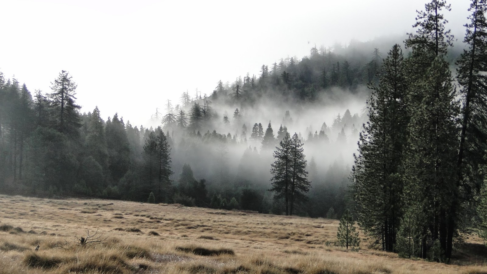
| Log Meadow |
3. Prepared for the HST/JMT. That’s High Sierra Trail and John Muir Trail. I will combine substantial portions of both trails starting July 20th and finishing on August 5th. All told, I look to hike approximately 190.1 miles and gain around 37,000 feet.
So that’s that. As this is the halfway point, I’ll briefly summarize my favorite hikes of the year so far, counting backwards:
9. Doane Valley: I took this hike following the only major rain storm this winter. Not only was Palomar sopping wet with the creeks running at full force, but I saw a huge herd of deer at least 25 strong. I’ve seen Palomar many times, but this may have been the most beautiful yet.
 |
| Lower Doane Valley |
8. San Jacinto Tram to Deer Springs Trailhead: This rare point-to-point hike occurred during an exceptionally warm and dry February. I climbed up over Wellmans Divide from the tram and came down to Idyllwild via the Deer Springs Trail. This was a really unique way to get in a little MSJ.
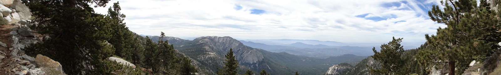 |
| Strawberry Valley from the PCT |
7. San Mateo Canyon Backpacking: Also during the exceptionally warm and dry February, I backpacked down into and back out of San Mateo Canyon with my friend Taylor to camp at a large pool beside the creek. It was about as perfect a campsite as I’ve ever found backpacking, and I hope to go back there again when it gets cool.
 |
| San Mateo Canyon |
6. Sawtooth Pass. The pass itself was absolutely grueling and tortuous, and I’m still not sure I even got to the right spot. The pass also didn’t add a lot to the hike, but the stretch from Badger Meadow to Monarch Lake was absolutely brilliant – minus the mosquitos.
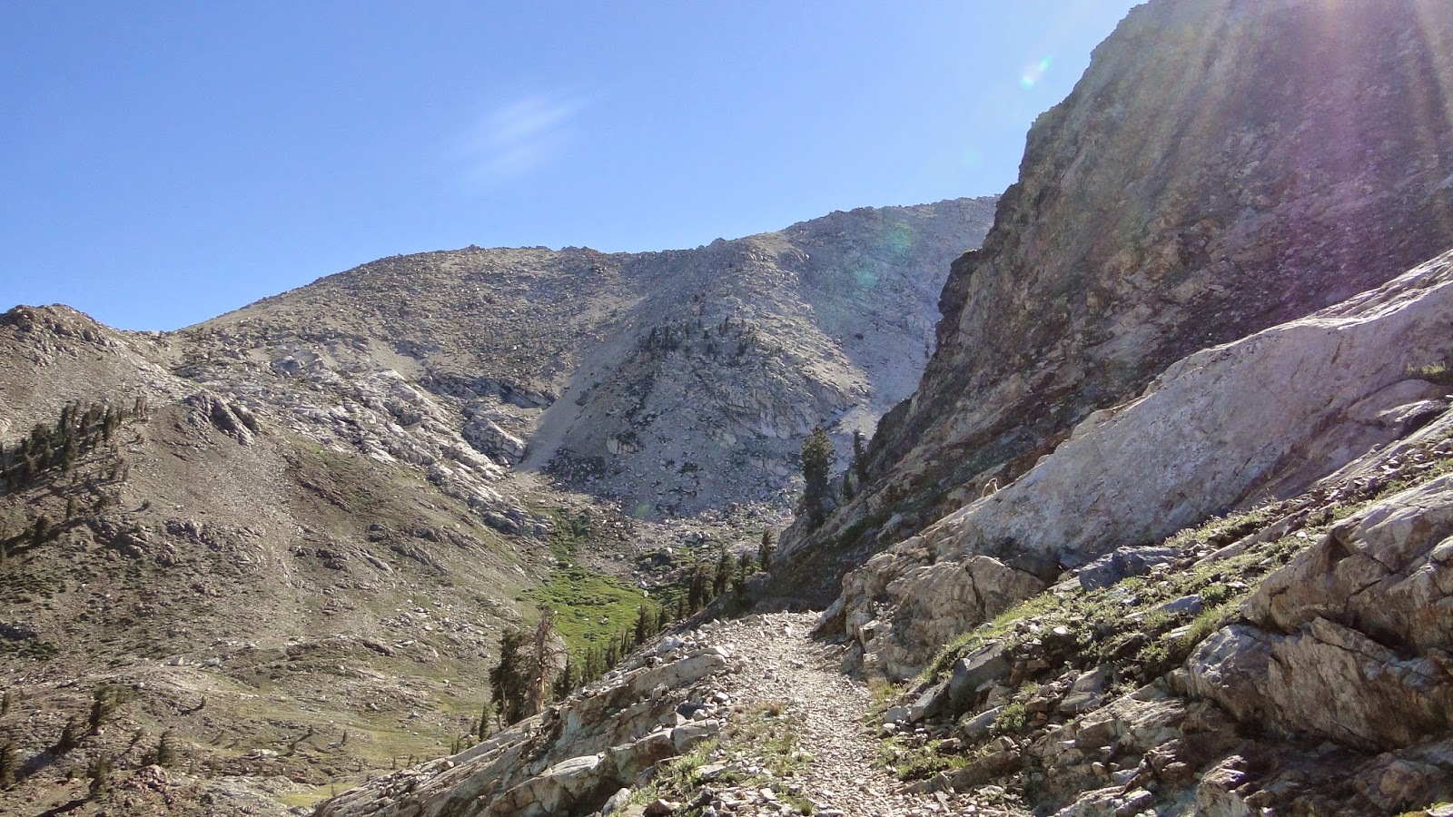 |
| On the way to Monarch Lake |
5. Alta Peak/Meadow: I re-covered this for Modern Hiker, and this time I tacked on lovely Alta Meadow. It was a lot harder than I remember, but the views at the top were even more brilliant than I remembered.
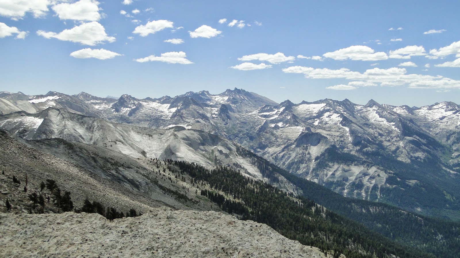 |
| The Great Western Divide |
4. Santa Cruz Island: Taylor and I took the boat out for Santa Cruz Island and enjoyed a nice hike up to Montanon Ridge. Between the westward views of the island and the eastward view toward the mainland, this had some great vistas. Plus, riding through a pod of dolphins a thousand strong never hurts.
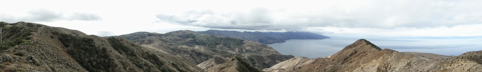 |
| From Montanon Ridge |
3. Ranger Falls, Mt. Rainier National Park: I did this with Kelly in April during a trip up to Seattle. The whole place was dripping wet with huge trees and hanging mosses. The waterfall at the end of the hike was sublime, pushing this up to one of the most memorable hikes of the year.
 |
| Ranger Falls |
2. Eagle Crag/Cutca Valley: This hike was a revelation. It’s probably the best hike in San Diego County, running the gamut of every kind of environment from desert to oak woodland to chaparral to mixed-conifer forest. Factor in some great views, and this is a hike of the highest quality. Bonus points: I got called in to interview for my new job while sitting atop Eagle Crag.
 |
| Eagle Crag |
1. White Chief Bowl: This hike exceeded my expectations in so many ways and featured so many stunning sights that it has to be number one. Taylor joined me for the first 3/4’s and I walked the rest of the rocky use trail back into the bowl. With gorgeous meadows, mountain views, waterfalls, marble outcrops, and a beautiful glacial bowl, this may have been the richest 9 miles I’ve hiked all year.
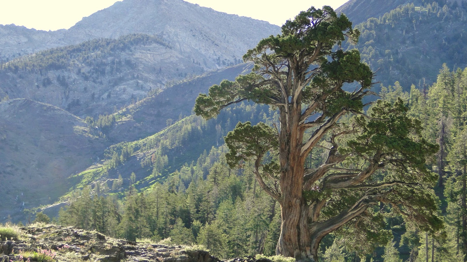 |
| A lone juniper |
On deck: The High Sierra Trail and John Muir Trail.
