This hike combines a popular and challenging summiting experience with a cool, shady oak woodland for a comprehensive and fairly strenuous workout. Taken on a clear winter day, this hikes reveals impressive views over San Diego County, Mexico, and as far north as Mt. Baldy.
Distance: 11 Miles
Elevation Gained: 2,800′
Difficulty: Moderately Strenuous, but on the southern border of strenuous.
Time: 4:00
Critters: Coots, ducks
Details:
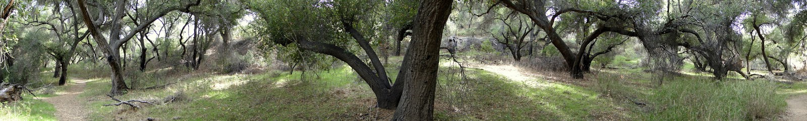
As I’ve taken both components of this hike and documented it here and here, I won’t spend a lot of time recapping what these hikes are or what makes them notable. Basically, Mt. Woodson is a very prominent peak looming over the San Diego suburb of Poway that offers tremendous views and an engrossing maze of granite boulders. Blue Sky Ecological Preserve is a riparian habitat and canyon that drains a watershed now dammed by the Lake Poway and Lake Ramona dams. Woodson is warm and sunny, while Blue Sky is cool and shady. It’s a great combination and a heck of a workout.
I originally attempted this in August of 2012, and what turned back by oppressive heat. Once you get 20 miles in from the coast in San Diego, things get real hot real quick, and I would never recommend hiking Mt. Woodson outside of the cooler fall and winter months. Blue Sky is pretty much okay all year, and I did fine through there and then started suffering in the sweltering heat. I know people hike Woodson year round, but I’m not one of them. My body runs far too warm for me to attempt it, which is probably why I love hiking in the cold so much. My radiator doesn’t work for crap.
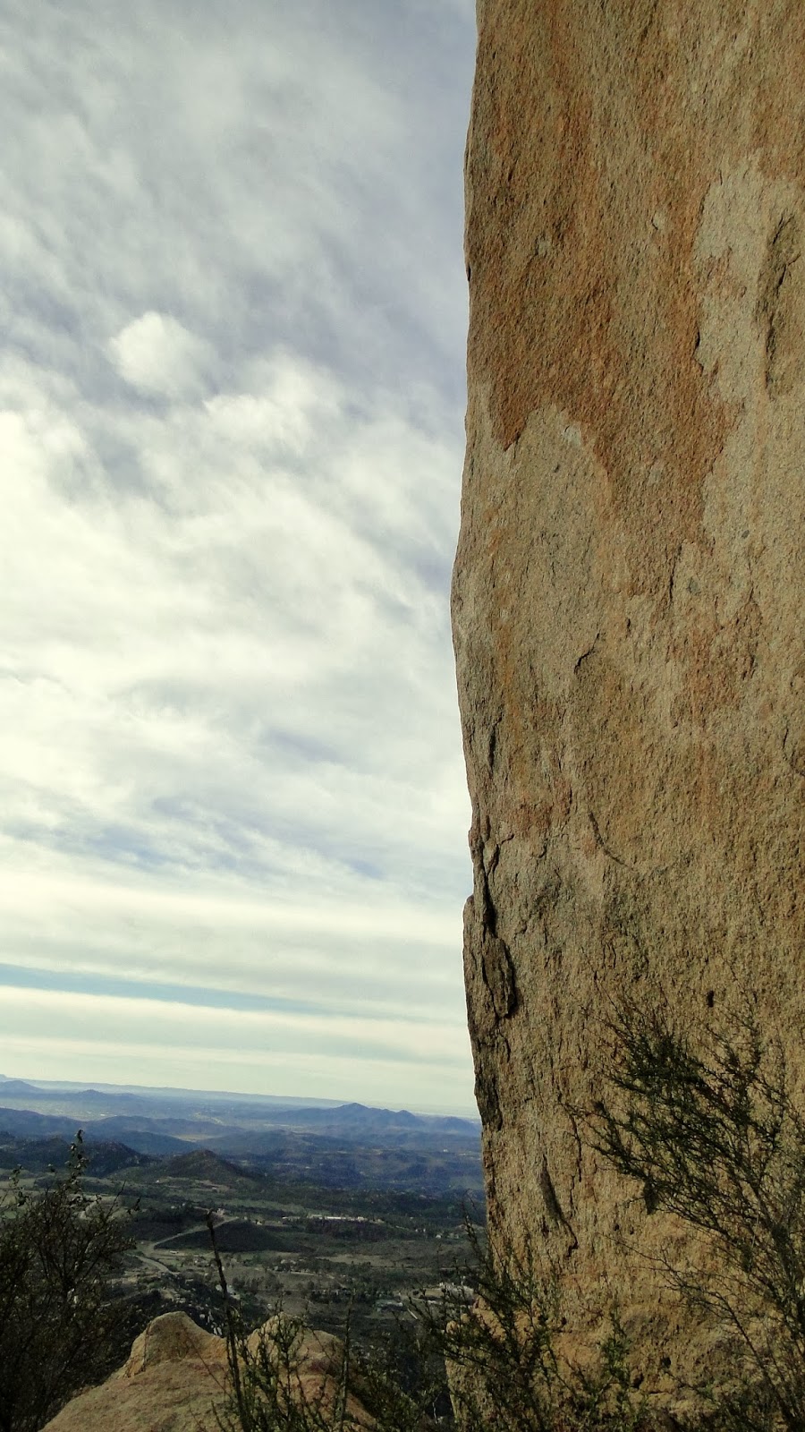
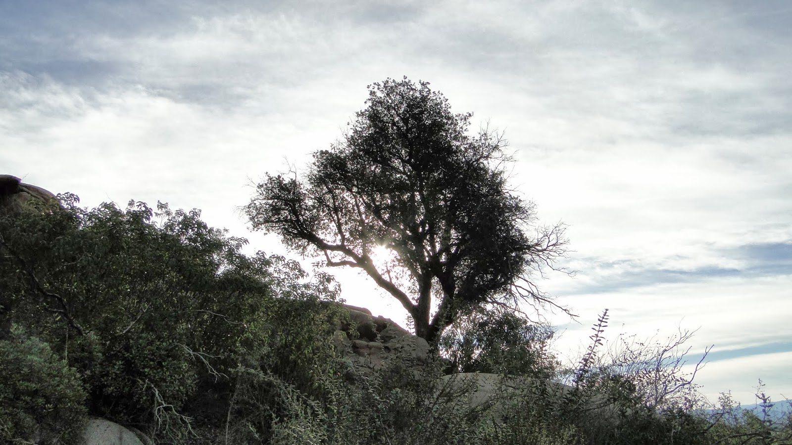
This “sum total” hike starts at Blue Sky, climbs up to Lake Poway and follows its eastern bank, and then begins the arduous climb up to the summit of Mt. Woodson. The summit itself isn’t really a true summit experience as a massive complex of radio antennas and support buildings dominates that flat-ish summit. The actual summit appears to be a massive boulder that only an experienced climber should attempt. Most people come here to prance around Potato Chip Rock, which is a sliver of granite left over when the bottom half of the boulder crumbled away.
 |
| Palomar Mountain with Ramona in the foreground |
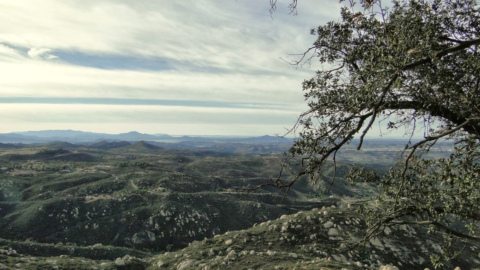
To get the panoramic views that a summit usually features, one can explore the complex and find some spots to take in various views. Views east are harder to come by, as a small range of mountains excludes the view of the Laguna Mountains. There’s a great spot for the south view beneath a small plantation of Coulter pines where one can eat lunch and enjoy a great view of San Diego.
 |
| Downtown San Diego |
Once you’ve had enough of “Guess That Landmark” it’s back down the way you came. A nice sidetrip on the way back is the use trail that hugs the shore of Lake Poway. While this area is usually brimming with fisherman (who don’t always clean up after themselves), it’s a nice opportunity to walk along the shores of a tranquil lake in an otherwise bone dry area. Eventually, this use trail merges back into the trail heading back to Blue Sky since walking across the dam is off-limits. There’s another option to loop around the lake, but I always pass on that after the long climb.

There are a few good spots to stop for a picnic in Blue Sky as well. This is a good destination for those who aren’t into such strenuous hikes. You can hike about 1.5 miles in to a picnic ground in an impressive oak grove and never really leave the shade of the oak woodland. Some people tack on Lake Poway. Others head up to Lake Ramona. It goes to show the wealth of options in Poway, and this doesn’t even include the Iron Mountain trail network, Twin Peaks, the network of suburban road-side trails, or the trans-county trail running from Torrey Pines and Penasquitos Canyon. Yay for Poway!