
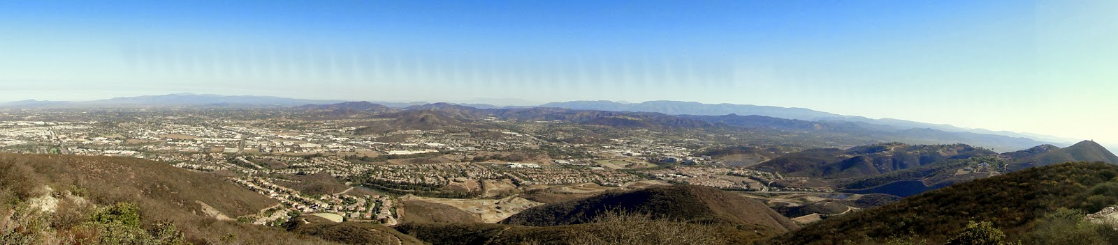
Double Peak is a fairly prominent high point of San Marcos in north county San Diego. It is easily accessible via car or wide fire trail, although there are more rugged and challenging ways to access the summit. The views from the top are pretty good, and they include most of the topography of San Diego east of the Peninsular Ranges.
Distance: 5 Miles
Elevation Gained: 1,000′
Difficulty: Moderate
Time: 2:10
Critters: Rattlesnake
Details:
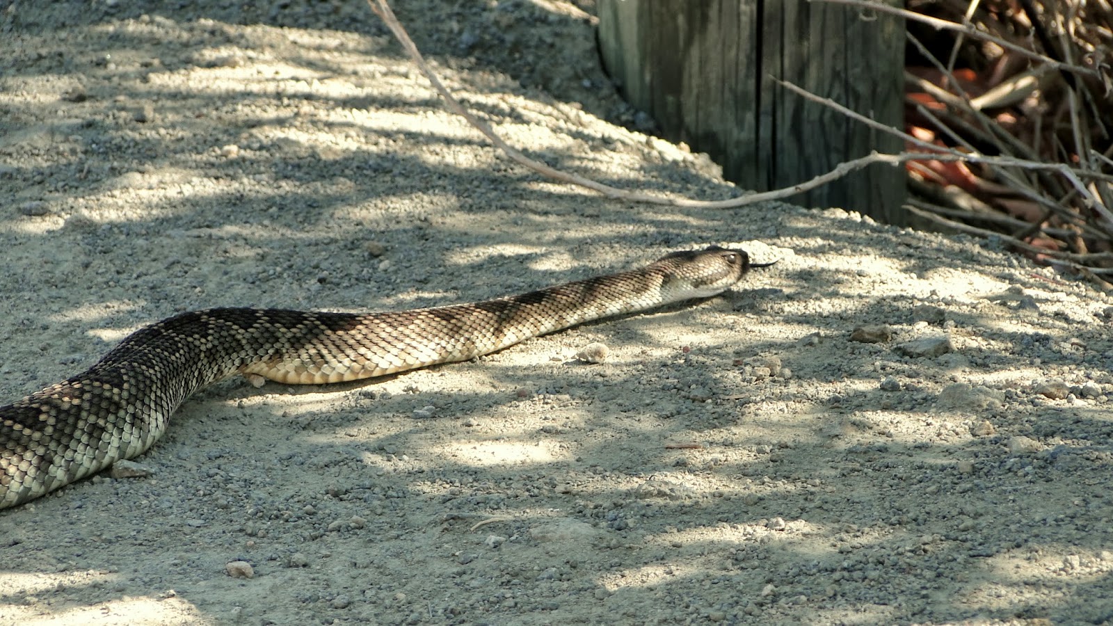 |
| A rattlesnake. Bet you’re just dying to take this hike now. |
First off, the trail at the start is a little confusing mainly because it does not look like a real trailhead. The first half of the hike consists of community trails cobbled together, and for somebody who is used to well-defined trailheads, I was initially thrown off. The trail starts at Discovery Lake at a small park, crosses a spillway, then ascends into another housing development. That’s a little weird for a trail, but North County is developed as extensively as possible, and developers plopped a community right along the original trail.
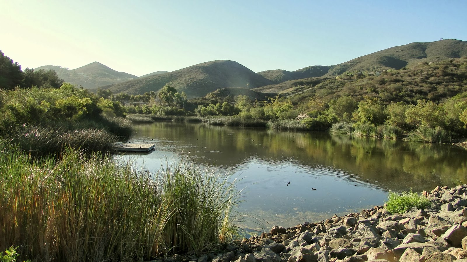
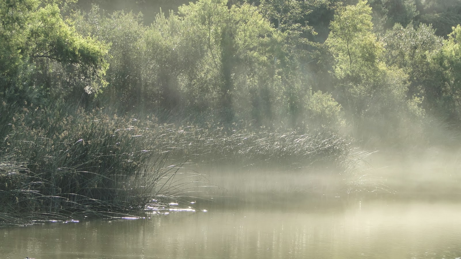 |
| Discovery Lake |
Once past this housing development, it starts looking like a real trail. What’s more, the wide, sandy trail commences a no-nonsense climb up the shoulder of Double Peak, leaving just about any hiker sucking a fair bit of wind. The views north expand gradually, and Palomar Mountain, the Santa Anas, and even San Gorgonio way off in the distance are your constant companions.
 |
| Mt. San Jacinton peaking over Crosley Saddle in the Agua Tibia Mountains |
The trail reaches a junction going left and right. The right junction reaches the summit without too much mystery or fuss. The left junction also leads to the summit, but it does so via a narrow side trail. I took this side trail, which climbed breathlessly through the chapparal until it re-merged with the main trail and the road that leads to Double Peak park. Yes, there’s a park at the summit, and people often drive up here to watch sunsets and admire the view. While a park with cars, restrooms, and benches is a little weird for a summit, we remember that we are in North County and this is a neighborhood hike. The wilderness left these wherabouts many years ago.
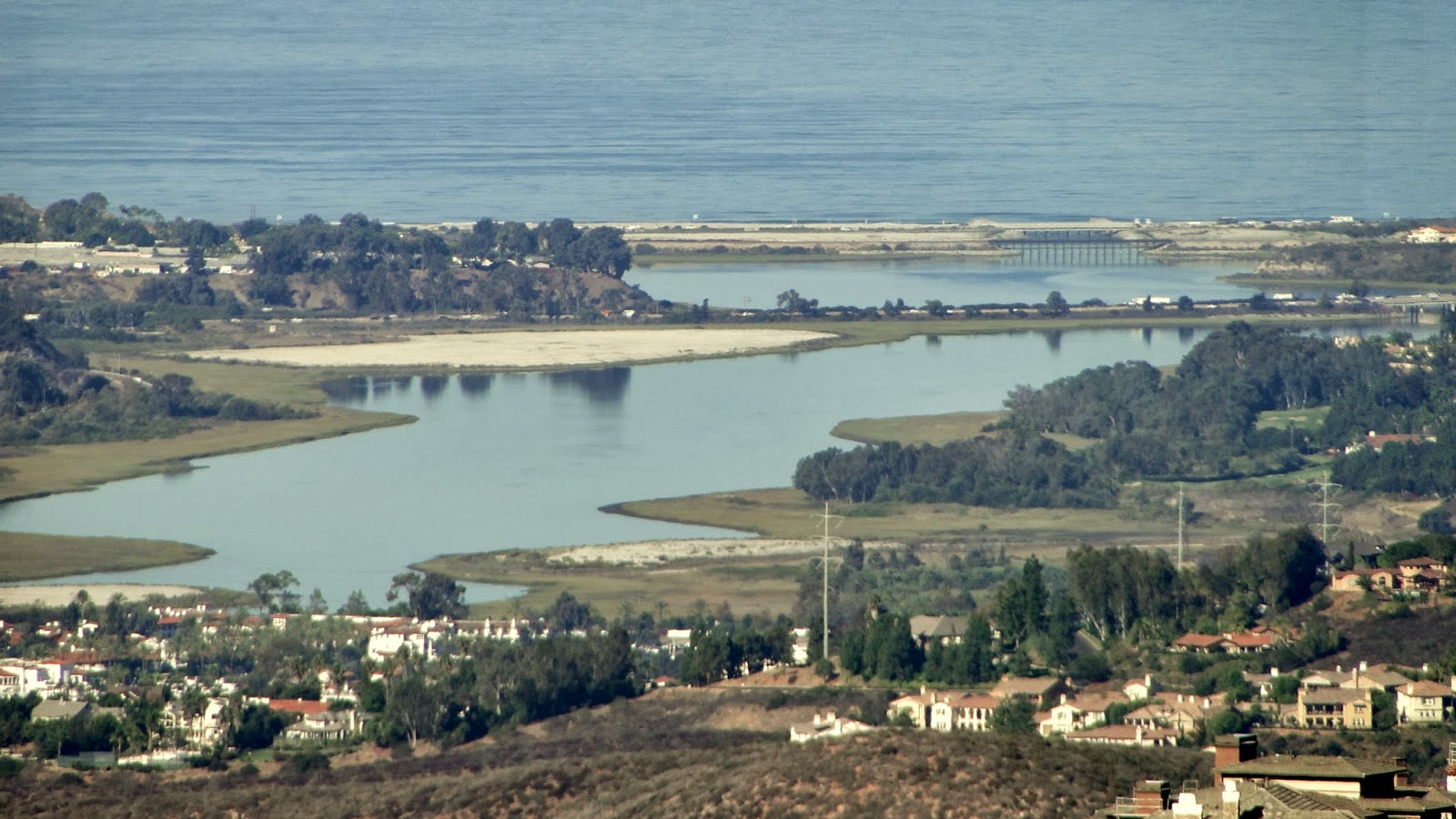 |
| Another angle of Batiquitos Lagoon |
A thoughtfully-provided view-finder allows a good 15 to 20 minutes of landmark-finding fun. At that point, you retrace your steps back from whence you came. The view up here is quite good, and in addition to the aforementioned peaks visible from the north side, the peaks in the south half of San Diego County – Woodson, Cuyamaca, North Peak, etc. – open up as well. For a local, community trail network, this is a damn good reward.
The workout is nothing to shake your fist at either. This is a good hike to take just to keep that slope-climbing edge inbetween jaunts up to the mountains, which is what I’m doing right now. It’s good to have this hike around, even if it is heavily developed. The more hikes, the merrier.
