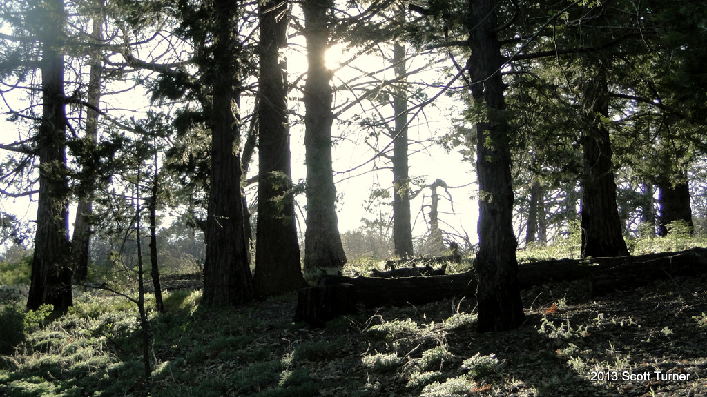
Standing at 6,512′, Cuyamaca Peak is the second tallest peak in San Diego County. It also stands roughly in the geographic center of San Diego County, which means that the views in all directions are inclusive and spectacular. While most of its forest has been destroyed, a large patch close to the summit still persists, which gives hikers an inkling of what this place was like before the Cedar Fire.
Distance: 5.4 Miles
Elevation Gained: 1,500′
Difficulty: Moderately Strenuous
Time: 2:45
Critters: A herd of deer
Note: There is an $8 day use fee when you park at Paso Picacho.

From the lower elevations and the developed areas of San Diego, Cuyamaca Peak stands out above all of the mountains. Not only is it the second highest peak, second by 20′ to Hot Springs Mountain on the Los Coyotes Indian Reservation, it is also one of the most distinctive peaks. While many peaks in San Diego are either boulder-studded and conical or long and flat, with rolling flanks, Cuyamaca rises up like a wave about to crash onto the shore.
 |
| Cuyamaca Peak in the left-center, as seen from Guatay Mountain. |
There are a number of ways to get to the summit, but the most direct, easiest, and sensible is the lookout road that leaves from Paso Picacho Campground. Sure, it’s a paved road, which is never as nice for hiking as dirt, but this access road wastes no time in getting to the summit. You will have to work, and this hike is no picnic. However, the views from the top are more than worth the reward.

To the north, you see the Peninsular ranges, including Palomar, San Jacintos, Santa Rosas, and all the way to San Gorgonio if it’s clear. To the east, you see Anza-Borrego, including some of the higher peaks like Granite Peak and Whale Peak. To the south, you Cleveland National Forest land rolling all the way down into Mexico. To the west, you can see the foothills of the Laguna Mountains, all the way out to San Diego and beyond to the ocean, provided that it’s clear enough. In fact, on a clear winter or fall day, one can see 100 miles in every direction with limited obstruction. This is probably the best view in all of San Diego.
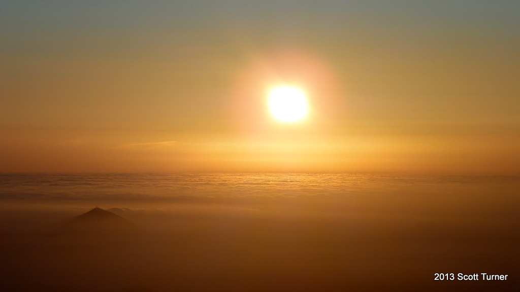
I took this hike before sunset while I was waiting for my friend Taylor to join me for a night of camping. Taylor and I have taken on some fun hikes, and I was hoping that he would join me for this, but he was delayed on his way down from Los Angeles. Instead, I trekked up to the top, where I was the only person, and I hunkered down amidst a chilly wind and waited for the sun to set.

The sunset was rewarding, even though I didn’t linger for the afterglow and the color changes. Simply watching the sun sink into the marine layer from 6,500′ is an impressive enough experience. However, I didn’t relish the idea of walking 2.5 miles back to camp in the dark by myself. I’m willing to do all sorts of things alone, but I draw the line at hiking through a forest when I can’t see anything, and I have nobody with me.
This experience at Cuyamaca was a good one. I’ve always looked at Cuyamaca as a sad place, which I have generally avoided in favor of Palomar or the Laguna Meadows area. Those areas remain preserved while Cuyamaca provides a constant reminder of destruction. However, Cuyamaca is not without its charms, nor is it without its beauty. Spending a night out here gave me a better chance to see past the dead trees. There is still much to love here.