
 |
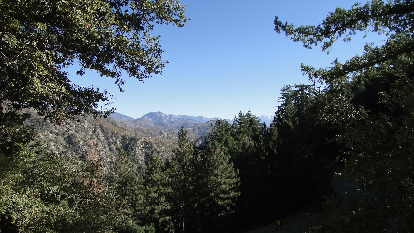
| Panorama of the San Gabriel Range looking east to Mt. Baldy |
Distance: 4.2 Miles
Elevation Gained: 1,600′
Difficulty: Moderately Strenuous
Time: 2:30
Note: Don’t forget your National Forest Adventure Pass
 |
| Red Box Canyon from the Trailhead |
The Front Range of the San Gabriel Mountains looms like a massive, green wall over the cities of the San Gabriel Valley. This portion of the San Gabriels features some truly great hiking, including Santa Anita Canyon, Mount Wilson, the Gabrielino Trail, the Silver Moccasin Trail, Mt. Lowe Railway, Inspiration Point, and Eaton Canyon Falls.
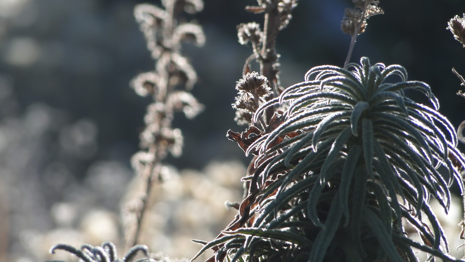 |
| I don’t know what this plant is called, but it smells vaguely like marijuana |
Many of these locations are famous, but one of the slightly less traveled trails will lead you to the high point (almost) of this region, and also the namesake for the entire range, San Gabriel Peak. Seen from the LA Basin, San Gabriel Peak is the tallest bump to the left of the Mt. Wilson antena compound. Mt. Wilson itself is a popular destination both for visiting and for hiking. However, as a mountain-top, it leaves much to be desired since there is no “peak” there. San Gabriel Peak, despite the trails brevity, offers such an experience, along with panoramic views from the Front Range.
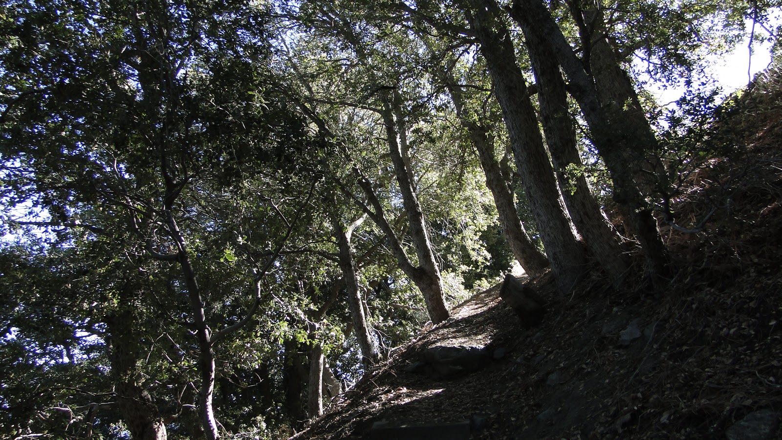 |
| Canyon live oaks on the way up |
The trail begins at a turn-out for the Mt. Disappointment Access Road. Nearby Mt. Disappointment was so named because a group of surveyors hacked their ways through thick chaparral to get to San Gabriel Peak so they could set up their equipment. Once they reached what they tought was their destination, they turned and saw San Gabriel Peak staring down at them mockingly from several hundred meters to the east.
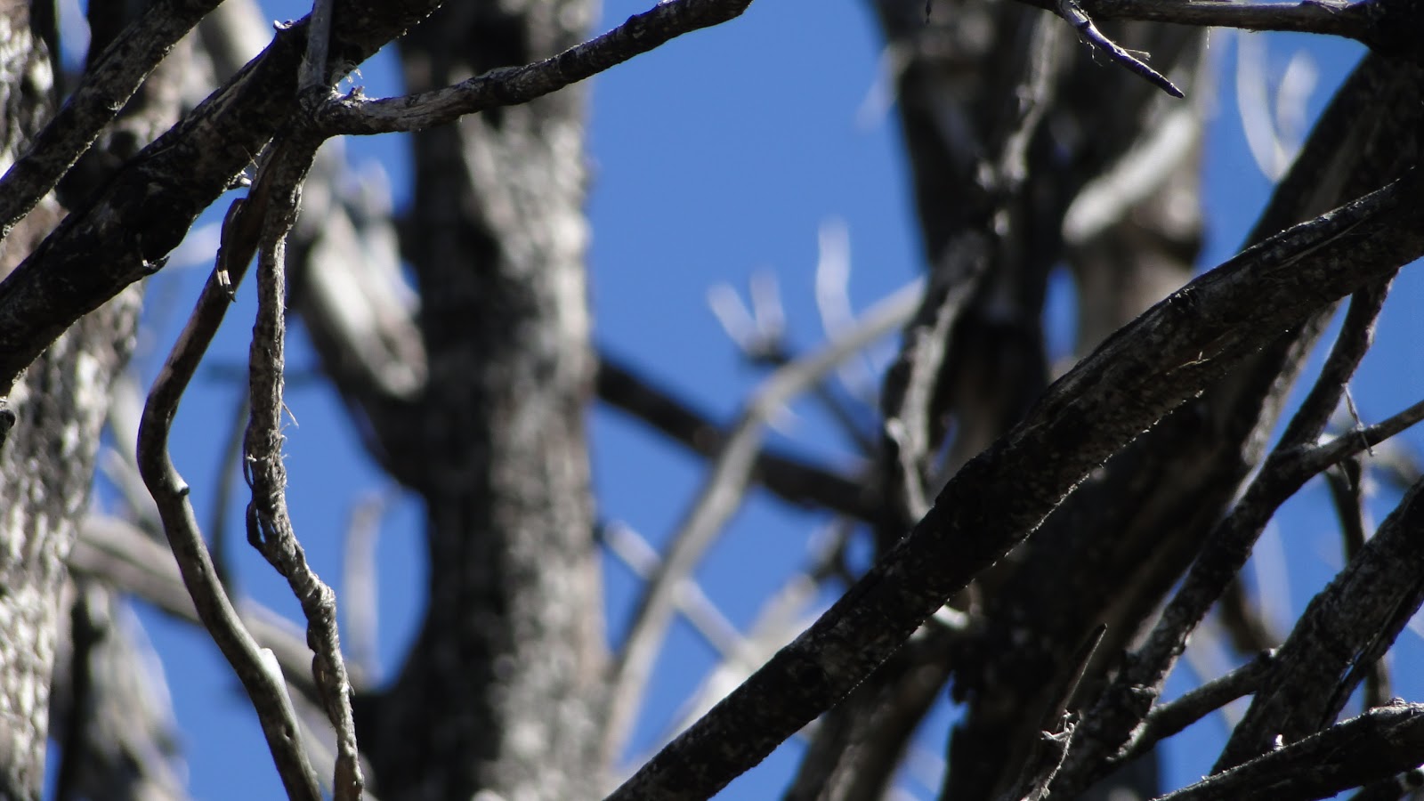 |
| Through a twisted candelabra of burnt branches |
Mt. Disappointment is now covered in radio arrays, and it’s only a destination for determined peak-baggers. San Gabriel Peak remains fairly unspoiled, even though its south slopes were heavily affected by the 2009 Station Fire. The north slopes were untouched, and the trail to the peak winds through a dense forest of live oaks with occasional pines growing out of the open, sunny areas.
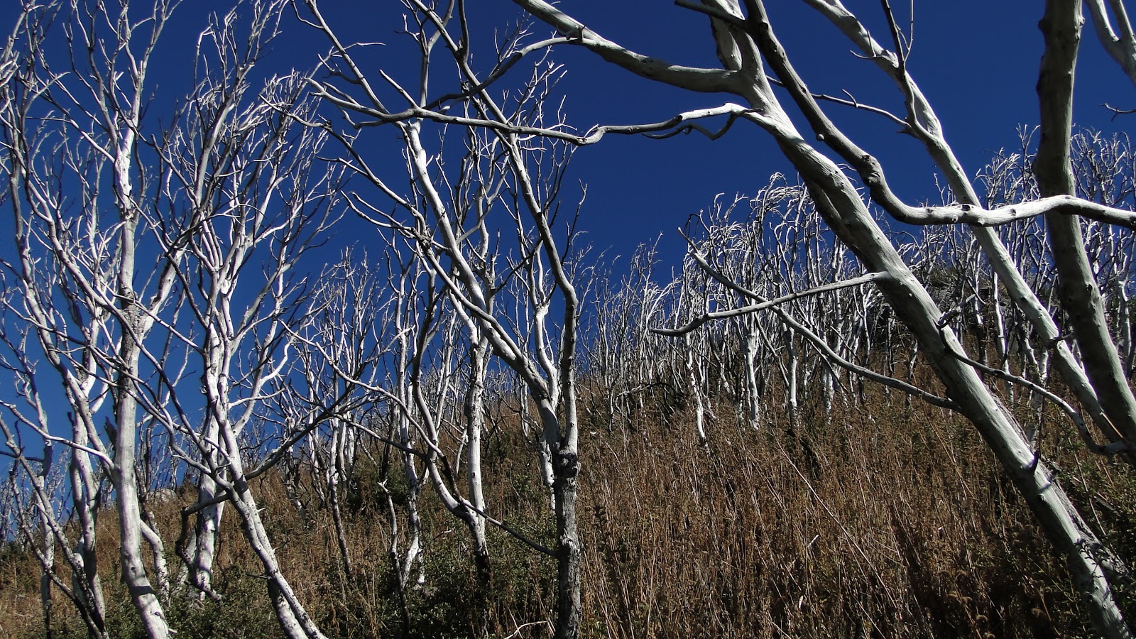 |
| Post-Station Fire damage |
Once you get close to the top, the burn damage is apparent, even though numerous fire-successional plants show evidence that the landscape is making a recovery. Along this uppermost portion of the trail, you can even find a number of fire-damaged sugar pines. Some of those trees were wiped out in the fire, yet some are recovering. One day, the north side of this peak will be forested again.
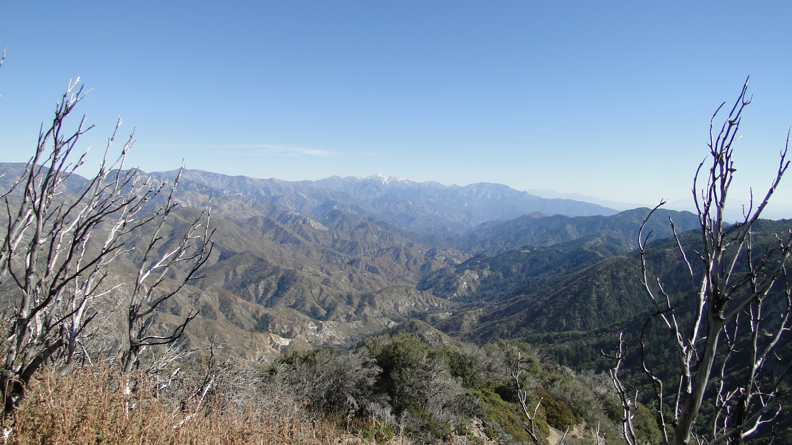 |
| Mt. Baldy from the summit |
From the peak, one can see almost the entirety of the San Gabriel Mountains. To the east, Mt. Baldy – snow-covered from a recent storm – along with Cucamonga, Ontario, Telescope peaks, Thunder Mountain, Mt. Baden-Powell, and Mt. Dawson are all easy to pick out. Closer by are Throop, Islip, Hawkins, Vetter, Strawberry, and Mt. Wilson.
 |
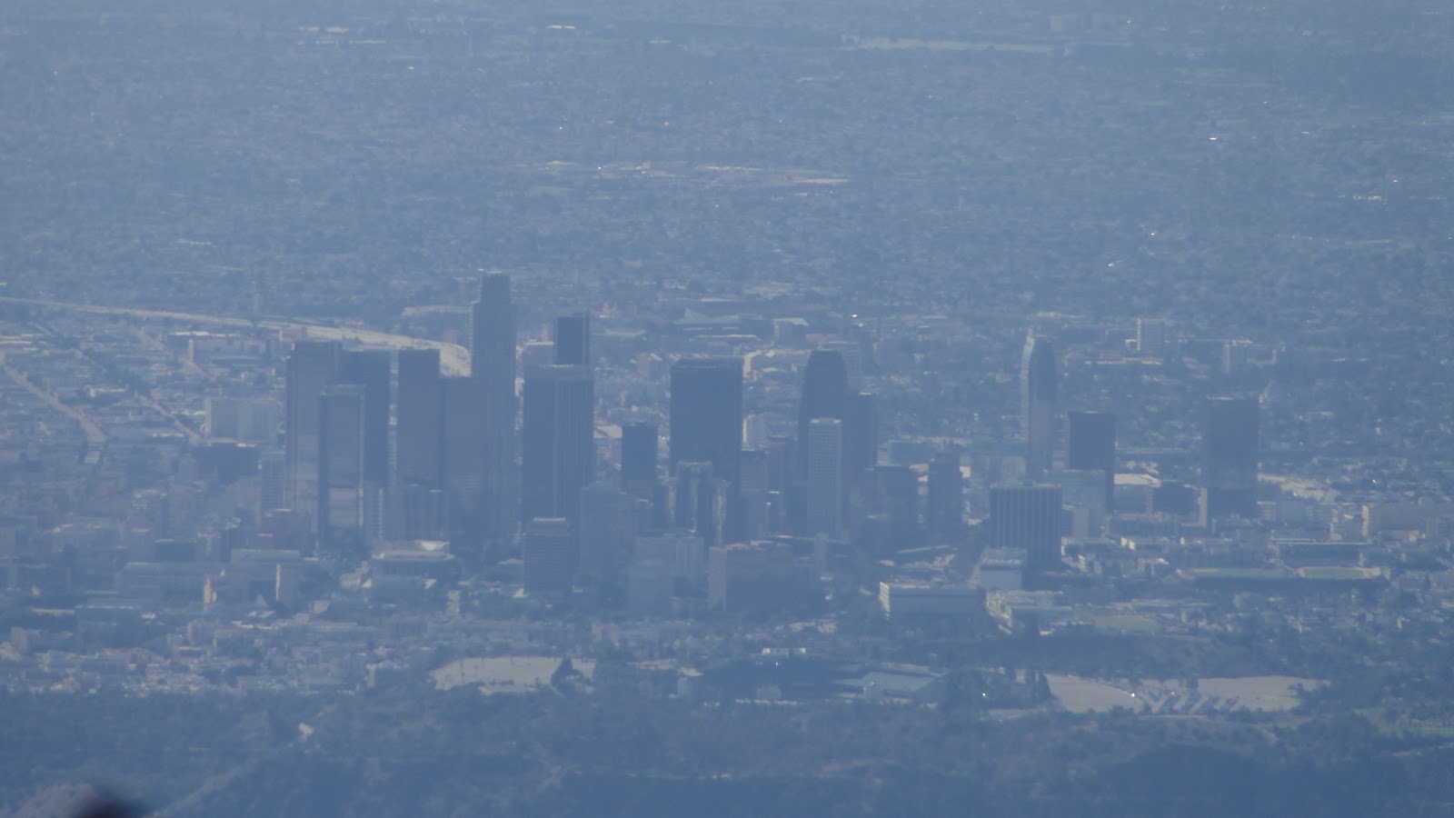
| Los Angeles |
To the south, one can see the entirety of the Los Angeles Basin, including the San Fernando Valley, the Santa Monica Mountains, Palos Verdes, the Channel Islands, Santiago Peak, Palomar Mountain, Mt. San Jacinto, and Mt. San Gorgonio. This truly all-encompassing view is inspiring, provided that the air is clear.
 |
| Antennas atop Mt. Wilson |
I highly recommend this hike on a day after a rain storm, when the air is crisp, clear, and the world appears endless. During a summer day, with the heat and smog, this hike wouldn’t be nearly enjoyable, since it’s ultimately all about the view.
 |
| Downtown |
It was nice to get out on the trail up in LA. On Thanksgiving, I hope to take what figures to become a Thanksgiving Day tradition hike at Santa Anita Canyon. In the meantime, I am due for a weekend of camping out in Joshua Tree. Plenty more photo essays to come!
