|
| Panorama looking south from the crest of Palomar Mountain |
Distance: 2-3 Miles
Elevation Gained: Minimal – there are only a few brief moments of climbing
Difficulty: Easy
Details
 |
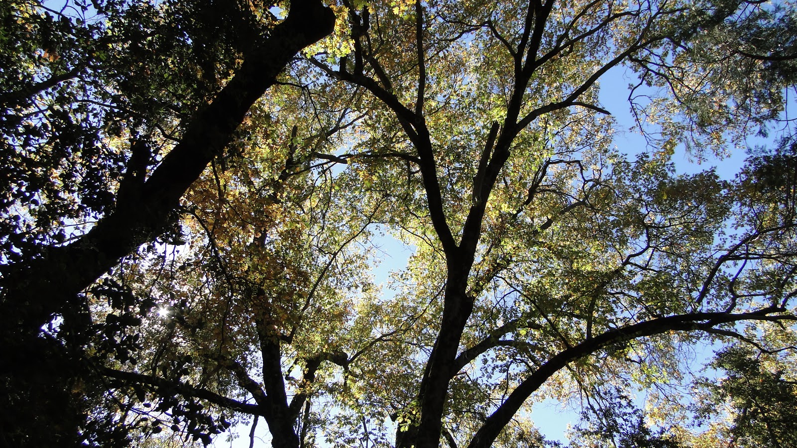
| Cedar and White Fir forest along the Doane Valley Nature Trail |
I came to Palomar Mountain for the first time with Kelly on January 1st of this year. Since then, I have gone as often as I have been able, and at this point, I have seen a fair amount of the limited hiking areas that the mountain offers. This unique landscape, which features mixed-conifer and oak forests, rolling meadows, trickling streams, endless vistas, abundant animals, and rich local history, has quickly become my favorite hiking spot not only in San Diego County, but in all of Southern California.
 |
| One of the many secluded nooks along the nature trail |
I’ve been lucky enough to see Palomar in all four seasons now. I have seen it barren, cold, and blanketed in snow. I’ve seen it verdant and alive with life. I’ve seen it drowsy on a late summer afternoon. Now, I’ve seen it decked out in rich golds, reds, and greens during a crisp autumn day.
 |
| Black oak with turning foliage |
It’s hard to say under which conditions Palomar is most beautiful. The only time it’s not stunning is during winter when there is no snow. It’s still great, but it’s missing a little something. Whether you find it best during spring, summer, winter, or fall probably depends on which season you find most charming. Whatever that may be, Palomar tends to offer up the best parts of each season while remaining relatively accessible to a major metropolitan area. It’s a rare gift to have a place like this.
 |
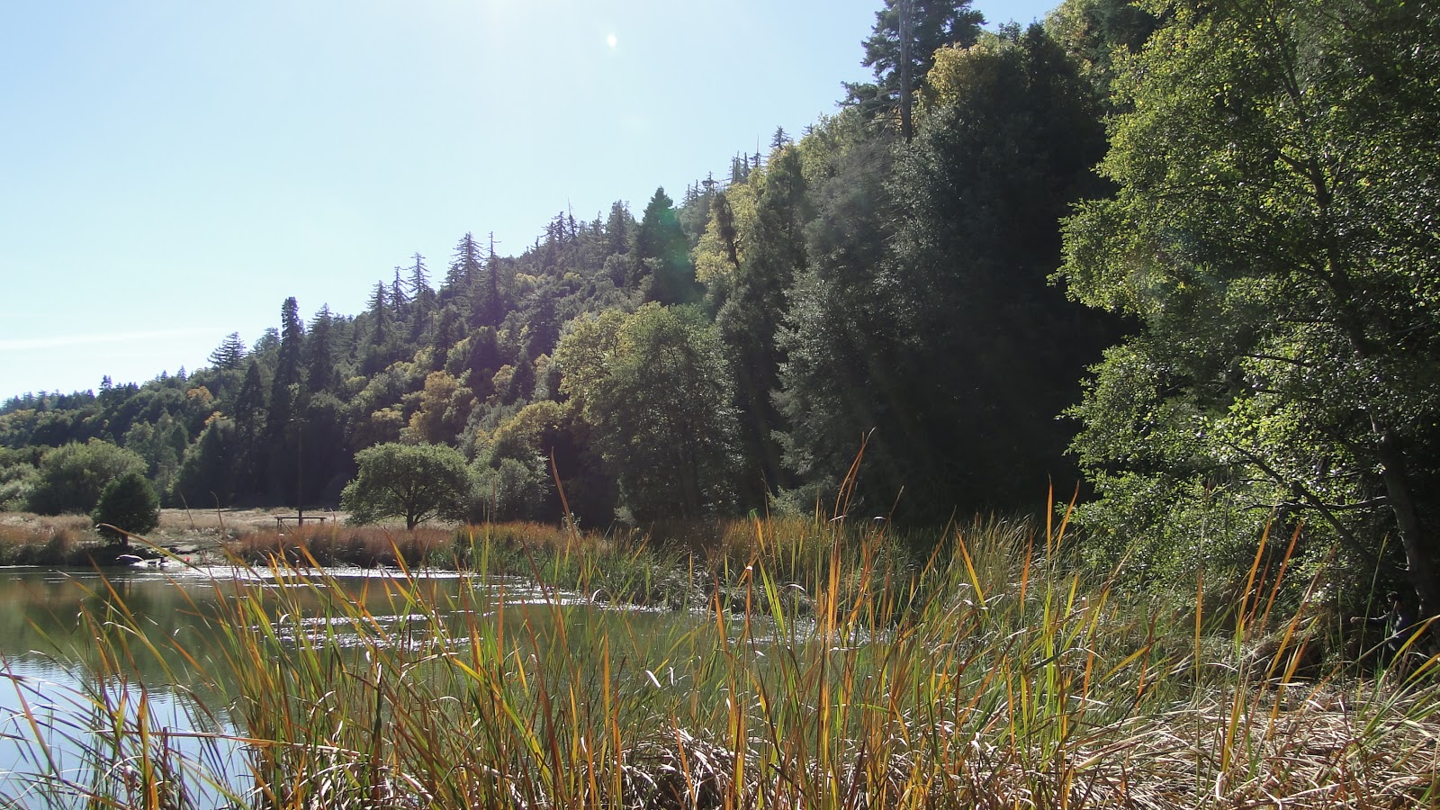
| Doane Pond |
Love letter to Palomar aside, I took two hikes in the park on this day, in addition to the Observatory Trail hike. The first hike was a quick loop through the Doane Valley Nature Trail. This easy 1 mile trail starts at Doane Pond and loops through the most lushest part of the Palomar forest. This portion of forest remains so lush, even while other parts of the forest here dry out and diminish, largely because of the presence of a year-round stream. In spring, dogwoods bloom along the creek bed, and this section of forest resembles the damp, towering forests of the Pacific Northwest.
 |
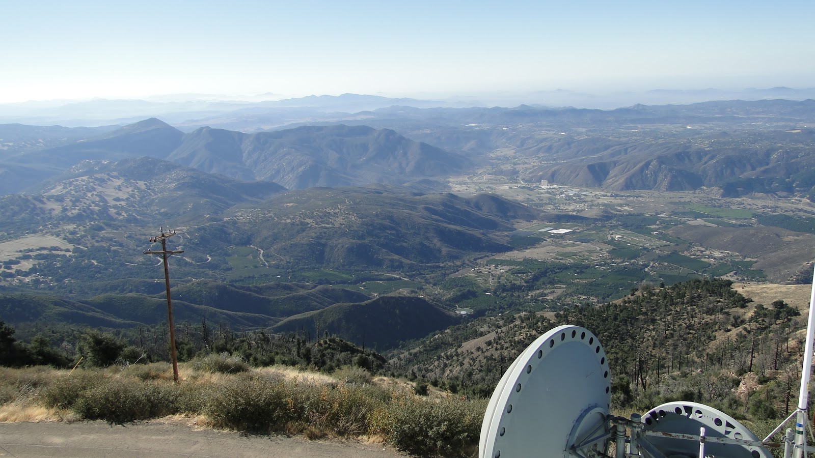
| View southwest from the Boucher Hill Lookout Tower |
I took this hike alone, and I took it slowly and with great relish. After the hike, I stopped over at the Boucher Hill lookout tower, which is one of two functioning lookout towers on Palomar Mountain. This tower is manned around the clock during fire season, and I was lucky enough to climb up and talk to the two volunteers who were keeping watch. One of the guys was clearly in his 80’s, but he had been working in the lookout towers for many years and was telling me stories about 6’x6′ boxes perched 90′ above the ground in which the lookout guys would spot, locate, and report fires.
 |
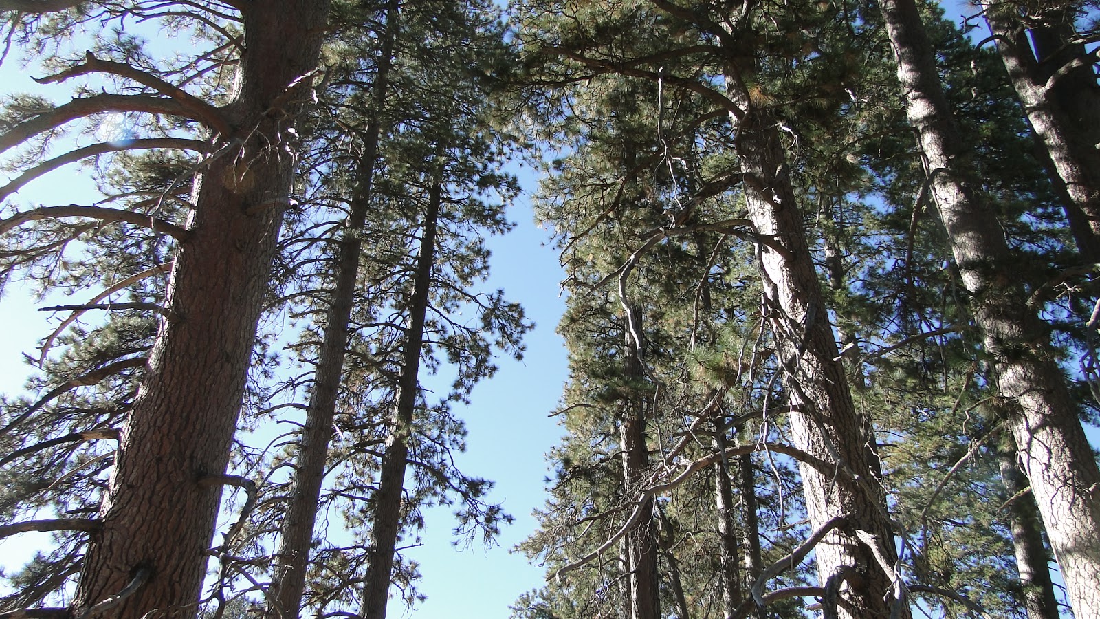
| Impressive stand of Ponderosa Pines at the southernmost limit of their range |
The two volunteers told me about how they shut down all of the fire lookouts during the eighties when the air pollution became so bad that they couldn’t spot fires effectively anymore. When the air cleared up a little, they tried using satellites to spot the fires. However, the forest service discovered that satellites could only spot fires that were larger than 35 acres, and by that point those fires were out of control. They determined that the lookout towers were the best option for spotting and containing fires before they could become massive conflagrations. And so Boucher Hill is back in business, having re-opened this September.
 |
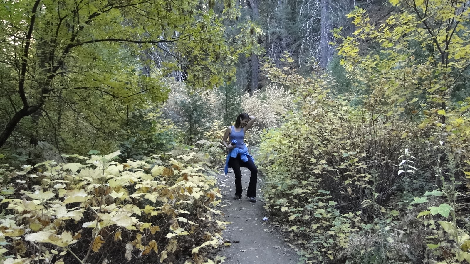
| Kelly is either rocking out or checking for emanations on the Doane Valley Nature Trail |
The second hike I took this day happened with Kelly. As if I didn’t love her enough already, she uttered the words that every hiking male partner wants to hear his female partner say: “Baby, let’s go hiking!” At the start, I never thought she’d be into hiking or camping, and now to find that she is not only willing to try it but that she has come to enjoy both things is further proof that I am a very lucky man.
 |
| Gauging station and weir |
We decided to take a modified version of the Doane Valley Nature Trail. We started out walking along the east end of Lower Doane Valley, where one can see some of the gnarliest oak trees around. We then took the shortcut trail across the meadow and headed over to the Weir Trail, which dead ends at an old gauging station that was once constructed to test the hydroelectric capabilities of Pauma Creek.
 |
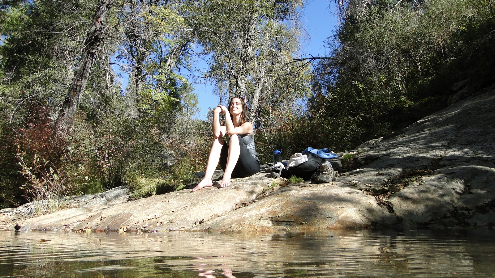
| Kelly soaking in the atmosphere |
The authorities determined that Pauma Creek wouldn’t produce enough electricity to make the endeavor worthwhile, but they left a dam that creates a welcoming little pool in which you can cool your feet. Also left behind is the stone gauging station, which creates a ridiculously rustic scene framed by alders, willows, and live oaks.
 |
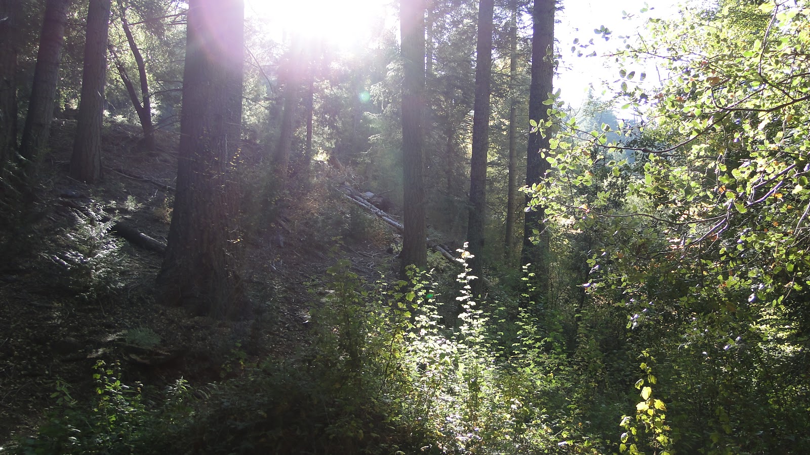
| Sunlight filtering through the firs on the Doane Valley Nature Trail |
We finished up the hike by going back through the Doane Valley Nature Trail before we headed back to our campsite to receive our friends Chad and Alexis. We cooked a nice dinner of pesto pasta with sauteed zucchini, asparagus, and vegetarian Italian sausage. Sure, I know this isn’t the most natural way to enjoy the outdoors, but who is going to say no to a hot meal, an aero bed with a ridiculous number of blankets, bottles upon bottles of great beer and wine, and good companionship around a raging campfire?
People who say they hate camping just aren’t doing it right. Period. End of Story.