
Distance: 7 Miles
Elevation Gained: 2,400
Difficulty: Moderately Strenuous
Time: 3:45
Critters: Marmots, chipmunks
New trees: Singleleaf Pinyon Pine, Black Cottonwood, Mountain Alder, Mountain Mahogany
Pros:
– Great warm-up for Whitney
– I love the Sierra Nevada Mountains
Cons:
– Forgot the sunscreen
– Looming thunderstorms
So, this Whitney thing kind of fell into my lap. I met a guy named Kyle on a hike to Mt. Baldy. If you’ve been reading this blog, you may recall that I’ve mentioned him and referenced his blog site (which I’ll totally do again: Hikingangelesforest.com). We talked on Mt. Baldy, and he seemed like an amiable guy, so we later became Facebook friends.
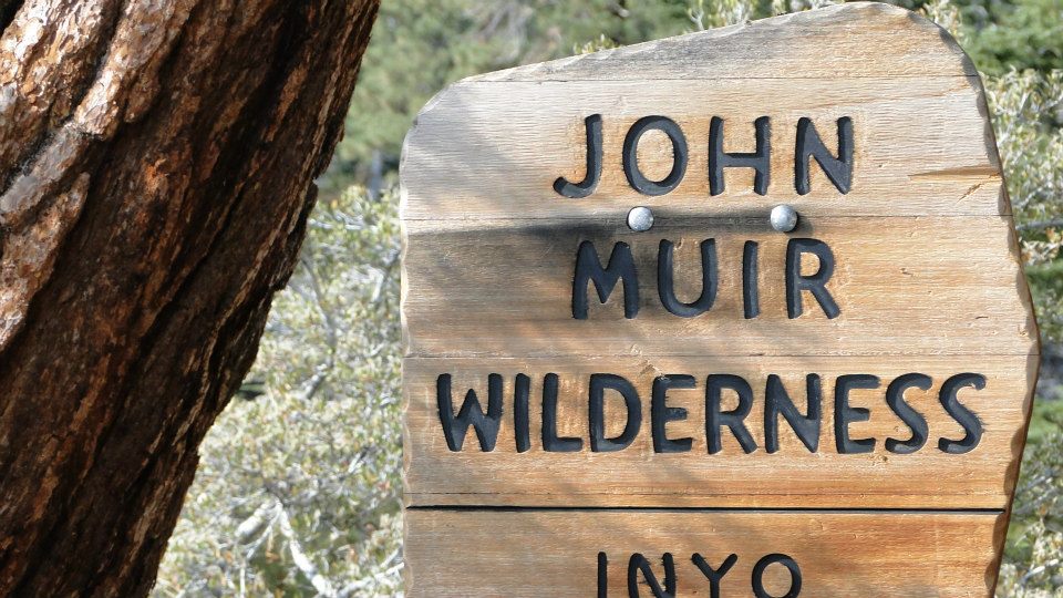
Fast forward a few months, and I find out that Kyle may have an extra permit to hike in the Mt. Whitney zone. If you know about this permit system, you know that, to get a permit, you have to juggle chainsaws while dancing on coals, wearing a blindfold, and singing the Bulgarian national anthem (Kyle’s really talented, by the way). However, accomplishing this considerable feat does not mean that the people who said they wanted to go will actually be able to make it, and so, after I asked nicely, Kyle graciously offered me his extra permit – an act for which I will be forever grateful.
Anyhow, I’m glad I’ve worked so hard climbing mountains to prepare for this because Whitney is a serious hike. I’ll say more about that in subsequent posts. However, I wanted one last warm-up before I attempted climbing the king peak of the lower 48.
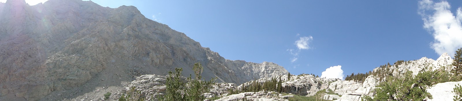
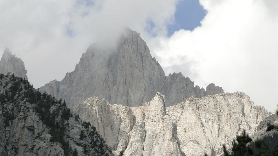
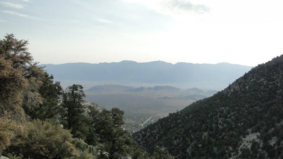
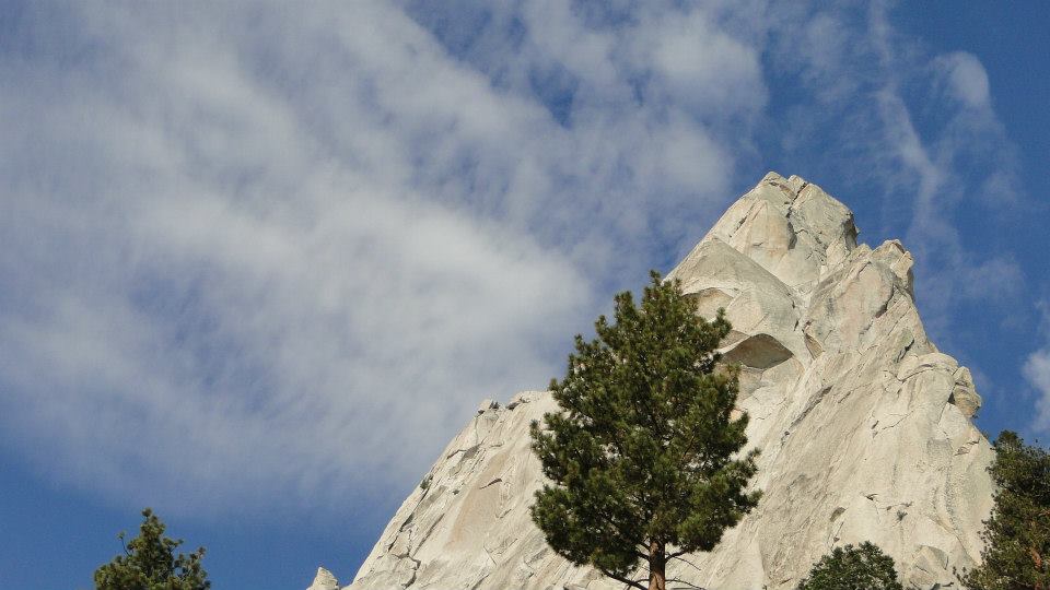
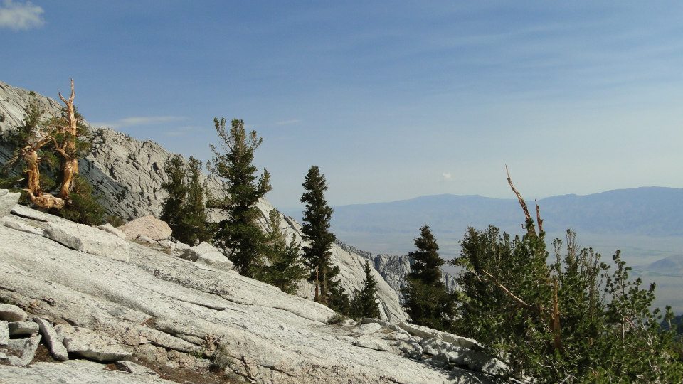
I arrived at Whitney Portal at 8:00 am after leaving my brother’s house in Long Beach at 3:00 am. I decided to take the warm-up hike to the Meysan Lake Basin, which offers the classic Eastern Sierra experience: granite, gnarled trees, expansive views of the Owens Valley, granite, marmots, granite, granite, and more granite. The hike itself is a much-less popular alternative to hiking in the Whitney Zone, although it probably gets a lot of use from people like me who want to get the quads fired up for an endless slog up steep slopes at high altitude.
The trailhead sits about a quarter of a mile from where the actual trailhead begins. It’s a little confusing because you have to cross the Whitney Portal campground and then climb up a road that gives access to some private cabins. If you follow the signs though, you should be okay.
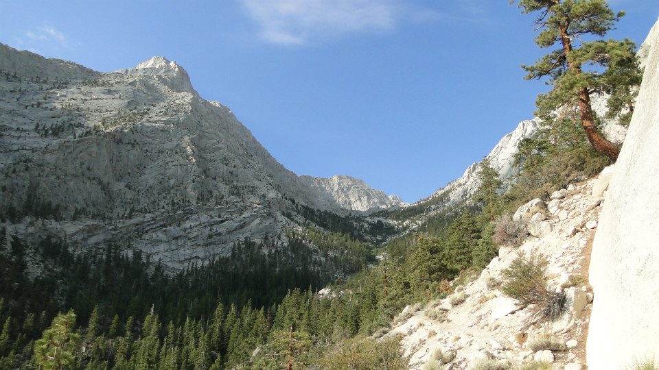
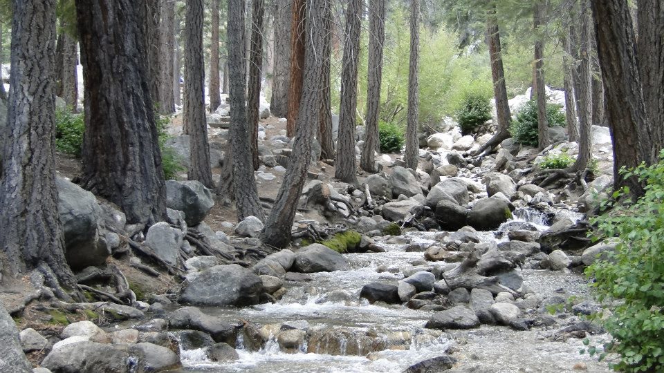
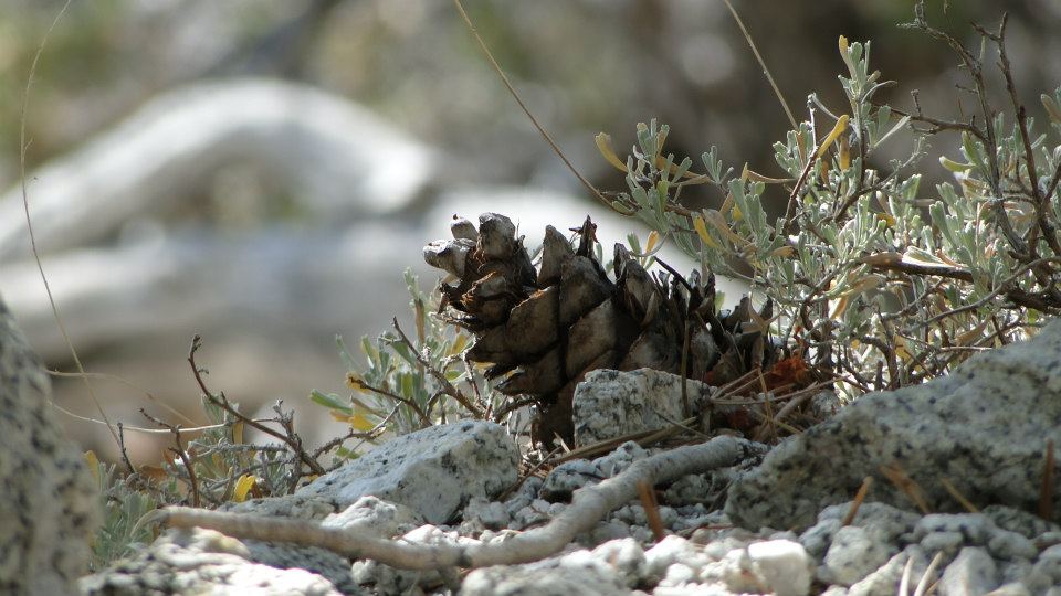
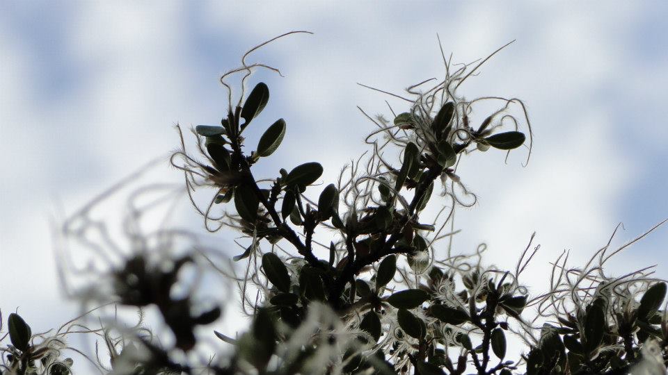
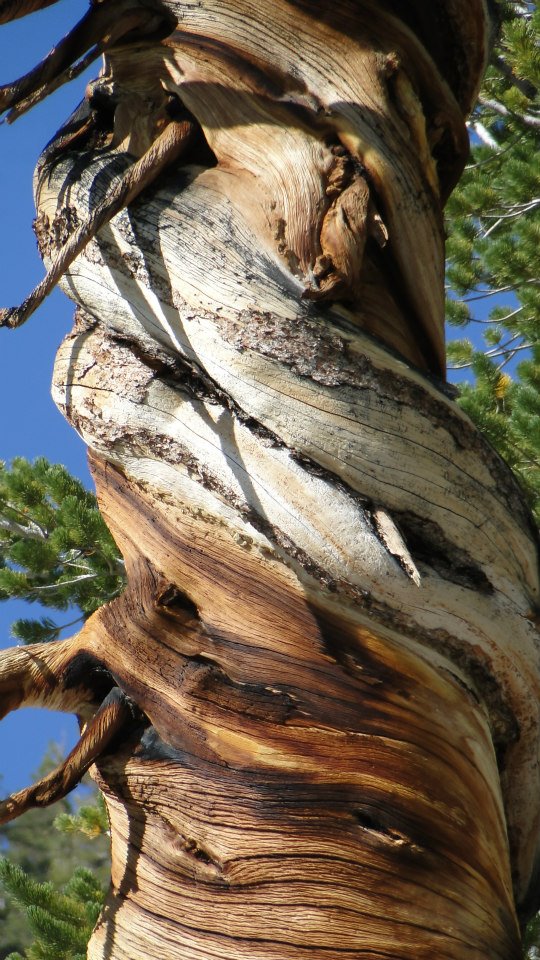
Once I got onto the trail, it was like sitting down to have lunch with an old friend. The Eastern Sierras are drier and more dramatic, but they are still the Sierras, which means mixed-conifer forest, dramatic granite formations, and views for days. On this side of the Sierras though, there are different trees, and I was introduced to four trees that I haven’t come across this year: Singleleaf Pinyon Pine, Black Cottonwood, Mountain Alder, and Mountain Mahogany. Each tree has cool features, but I’ll get into that on the tree blog.
I was off and running – well, huffing and puffing at a moderate pace due to thin atmosphere. The Meysan Lakes Trail ultimately does lead to a lake basin, and it was my intention to make it to at least Grass Lake, which would have made for a 9.4 mile hike up to about 11,000′.
However, two things occurred which caused me to turn back a little earlier than I anticipated. First, I committed a cardinal sin of mountain hiking; I forgot to put on sunscreen. The atmosphere here, especially above 9,000′ is a lot thinner than it is down low, and so the sun has fewer impediments to stop it from making grilled epidermis. Sunscreen is a must, and, unfortunately, I had the thought in the back of my mind that my skin was cooking darker by the minute, and I’d have to get off the trail before I turned medium rare.
Second, a thunderstorm was brewing at the higher elevations. I know that August in monsoon season in the desert environments, and although I was walking through pine forests of lodgepole and foxtail pine, I was still in the desert since the Sierras on the eastern side of the Great Western Divide are a pretty dry range. In a matter of hours, perhaps even minutes, I might be hiking under rain, hail, and lightning. I knew I might face this on the trail up to Whitney, but in that instance I could hide in the tent. Out on this trail, exposed, I knew it would be a lot better to head back.
The trail itself is a beautiful one, although I won’t lie and tell you that it’s as beautiful as the Mt. Whitney Trail, which almost upstages its own main attraction. It is still a worthy hike, and for me, after a two month absence from the mountain range that I love so much, it was a heavenly start.
August: 32.1 Miles
Year-to-Date: 884.2 Miles
