

Distance: 17.2 Miles (over two days)
Elevation Gained: 5,500′
Difficulty: Strenuous
Time: 13:00 (Estimated since this was a backpacking trip)
Critters: Larcenous chipmunks
Pros:
– Highest peak in Southern California
– Beautiful high country topography and flora
– Incredible views
– Sense of accomplishment
Cons:
– Rampant air pollution in the low-lying basins
Details:
 |
| This way, please |
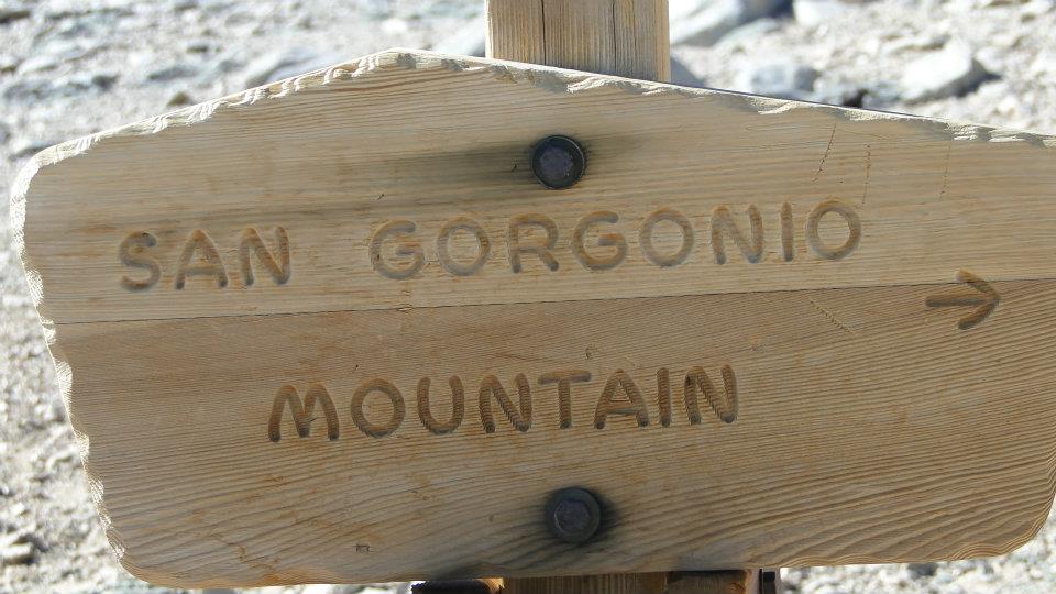
Mt. San Gorgonio is a Southern California superlative. At 11,503′, it is the largest peak found anywhere south of the Sierra Nevadas. Its nearest competition, Mt. San Jacinto, which lies almost directly to the south of San Gorgonio across Gorgonio Pass (the place with all the windmills on the way to Palm Springs), stands nearly 700′ shorter, and Mt. Baldy, the tallest peak in Los Angeles County, stands a full 1,500′ shorter.
 |
| Along Vivian Creek |
The only way to get to the summit is to walk. Of the numerous trails to the summit, all require a climb of over 4,000′, and none are shorter than 17 miles roundtrip. Contrast that with San Jacinto and Mt. Baldy, both of which can be reached in under twelve miles and under 4,000′, and one begins to understand that San Gorgonio is not just the largest mountain; it is also the most inaccessible. To reach Mt. San Jacinto’s summit, you can take a tram and then track a moderately strenuous route to the top. To reach Baldy, you can take the ski lift up, knocking 1,500 or so feet off the climb. Mt. San Gorgonio offers no such options.
 |
| Near the summit |
The ascent is nothing short than brutal. Hikers training for Whitney make this a key component of their training regimen, and it is the cumulative peak on the six-pack of peaks. Many hikers will dayhike the trip from Vivian Creek, although plenty of other hikers will backpack to the summit, where hand-stacked rocks provide wind shelters for the summit camp.
 |
| Lodgepole snag |
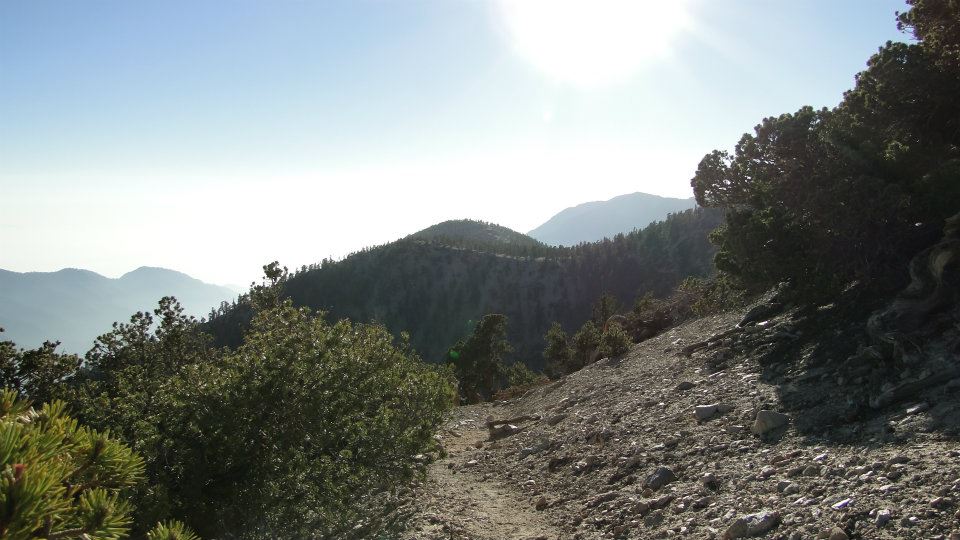
The Vivian Creek Trail requires climbing nearly one vertical mile over 8.5 horizontal (not really) miles. The first leg of the trail lets you know that nothing will come easy as you climb 1,000 feet in one mile just to reach the wilderness boundary. From there, the trail levels out somewhat, and you climb the next 2,300 feet over 4 miles to reach High Creek Camp. After High Creek Camp, the trail begins switchbacking to the top of a ridge, which the trail then follows until it reaches the summit 3 miles and 2,300′ later.
 |
| On the Vivian Creek Trail |
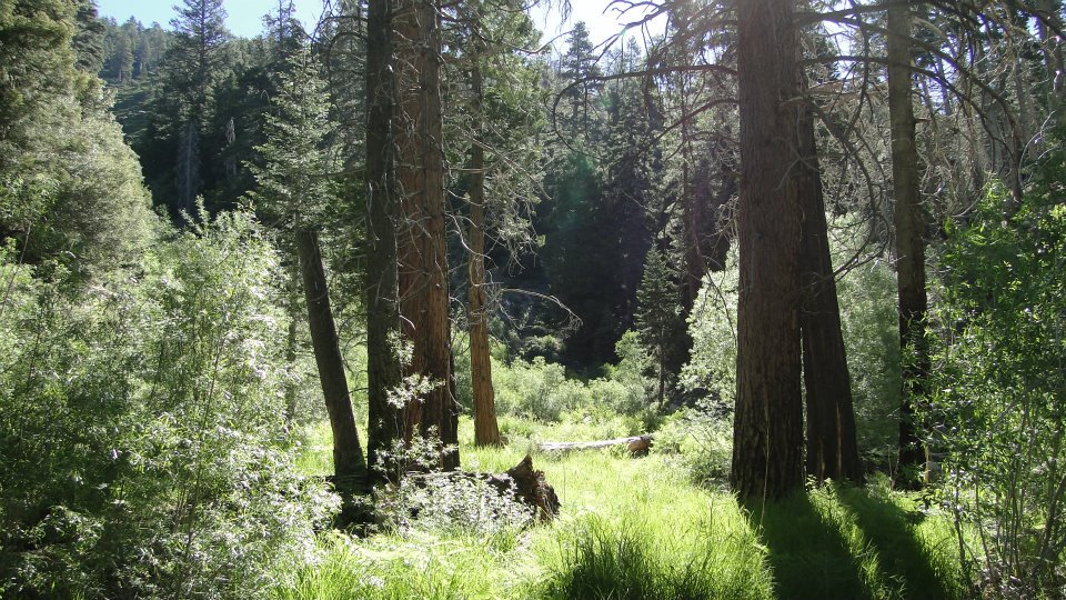
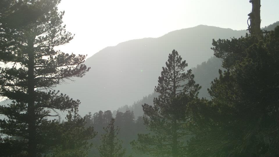
Kevin and I took this hike as part of a two-day, one-night backpacking excursion. We lugged all of our crap up the brutal first mile and then through the more gentle terrain up to High Creek Camp, where, at 9,230′, we pitched our tents and hunkered down for a brief restorative nap. The trail through this section traverses some of the most beautiful mountain habitat in all of Southern California.
 |
| San Gorgonio Wilderness |
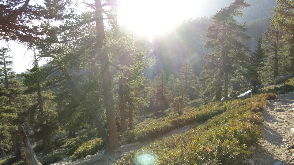
After the initial first mile, which passes through a stretch of forest hard-hit by bark beetles and pine blister rust, the trail rounds a bend and stumbles upon Vivian Creek, which nourishes a dense and, at times, magnificent mixed-conifer forest of Jeffrey, ponderosa, and sugar pine, as well as white fir and incense-cedar. At times, the terrain and flora were so reminiscent of the Sierras that it was easy to forget that just a few miles over Yucaipa ridge lay the beginnings of the Sonora Desert, which is home to Palm Springs. Here we were traveling through cool, towering forest, while several miles away, nothing but shrubs and cacti prevailed.
 |
| Chipmunks looking for welfare handouts |
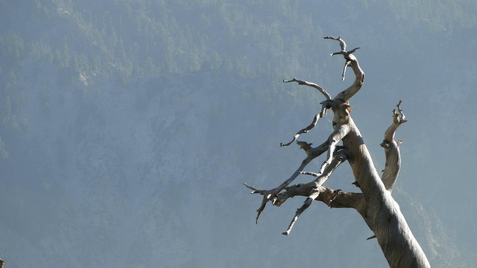
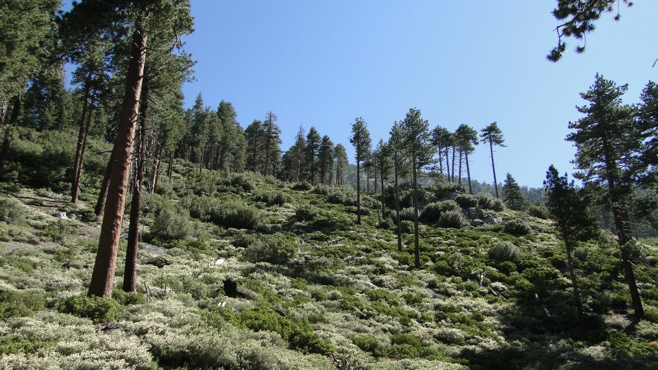
The trail passes through a couple of backcountry sites, Vivian Creek and Halfway, before it switchbacks up a ridge, rounds the south side of the ridge, and comes around the corner to High Creek, where a perenial stream keeps the dense forest, now composed almost entirely of lodgepole pines, healthy and happy. The elevation gained on this trail means that I got to watch as the forest transitioned from mixed-conifer interspersed with canyon and black oaks into mixed-conifer, no oaks. Next, the cedars and sugar pines disappeared. Subsequently, the Jeffrey and Ponderosa pines were replaced with lodgepole pines. Finally, the firs disappeared entirely, leaving only the lodgepoles which became increasingly contorted until treeline, at which point they became low-lying shrubs, or krumholz.
 |
| Yucaipa Ridge during the sunset |
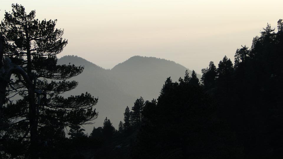
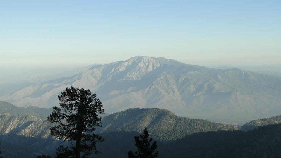
From High Creek, we followed the switchbacks until we reached a bend where a view of Mt. San Jacinto opened up. This is easily the most spectacular topography in Southern California, and in terms of prominence probably only comes second to Telegraph Peak and Death Valley. Two massive mountains, both over 10,000′, staring at each other over a deep valley? I can think of few places like that anywhere in the state, let alone the country.
 |
| Kevin preparing for the final ascent |
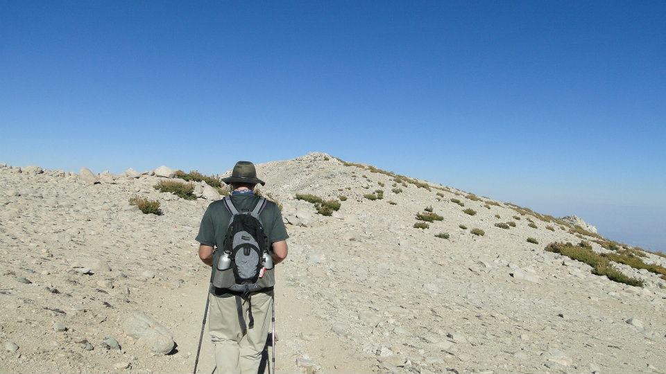
Up ahead lay one last long, hard slog up a fairly steep slope leading to the summit. This stretch adds further proof to an axiom for any strenuous hike: if you focus only on the end goal, the task will always seem to be an arduous, difficult slog; but, if you stay focused on each individual step, you will inevitably arrive. The latter approach is preferable since it requires you to stay focused on the moment as opposed to a point in the future that, given the daunting amount of work, seems like it will never come. By staying focused on the moment, there is little need to worry about what will come since that moment will arrive eventually. This is true as much for hiking as it is for any long, involved, and arduous endeavor, like graduate school or planning a wedding.
 |
| Mt. San Antonio and Cucamonga Peak in the distance |
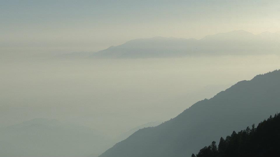
At any rate, Kevin and I reached the broad, stony summit of Mt. San Gorgonio at about 5:30 in the afternoon. To the north lay the rolling high country of the San Bernadino Mountains, with a sliver of Big Bear Lake just visible. To the east, the Mojave Desert stretched out to infinite. Due south, the massive pyramid of Mt. San Jacinto loomed in ever-deepening shadows. to the west, smog and marine layer obscured the Los Angeles Basin, although Mt. San Antonio poked its bald crown out of the haze. For a moment, Kevin and I stood at the highest elevation in a region that is home to over 20 million people, not a single one of whom stood higher than us. It’s a strange and remote feeling to be that high and separate, but it’s always great to have perspective that comes with viewing the world from a mountaintop.
 |
| Mt. San Jacinto |
Afterwards, we practically flew down the mountain through the fading sunlight. Lodgepole pines caught the light from the sinking sun, while dust motes and insects danced in rays slashing between trees. We reached our camp exhausted, having climbed 12 miles and 5,500′. We ate, and crashed. The next morning, we packed up and walked back to the car through the same forest, only this time, the downhill slope and even, measured pace allowed us to soak in the beauty of one of the finest stretches of forest in Southern California.
 |
| Trail back to High Creek in the setting sun |
This write-up would not be complete without the mention of a remarkable individual. I didn’t get his name, but this man had suffered from a heart attack and the ensuing bypass surgery. He also had to have a lung removed, perhaps due to complications, although his accent was quite thick, and I may have missed an important detail. This man claimed to have run 22 marathons, many of which were run on half a lung. He also claims to have hiked Mt. Whitney a number of times, and on one particular occasion completed a grueling 23 hour trek to and from the summit, sometimes through deep patches of snow. It is also important to mention that he is 65, and on this day was leading a group of retirees from the ages of 62 to 73 on a 5 mile hike gaining 2,000′ of elevation.
 |
| Lodgepole Pine crown |
Such a remarkable man drives home an essential point. The human potential for accomplishment is essentially limitless. Regardless of your age, fitness level, and physical health, barring of course certain disabilities, you are only limited by what you think you can accomplish. If you have one lung and you’re 65 years old, you can run 50 miles per week and climb mountains. You’ll have to earn it, and it won’t be easy, but you can do it. In other words, don’t ever tell yourself you cannot do something. It simply isn’t true.
June: 101.2
Year-to-Date: 722.8
