

Distance: 6.8, 1.1, 1.2 (Santa Margarita, Los Jilgueros, and Hellers Bend, respectively)
Elevation Gained: 320′, 0′, 300′
Difficulty: Easy + easy + easy = moderate
Time: 2:38, :23, :27
Critters: Dog of the Day with the cone of shame, a fleet of rabbits and squirrels, coots, bullfrogs
Pros:
– Lovely, easy hiking along the Santa Margarita River
– Easily accessed beauty spots in Fallbrook
Cons:
– Spots in Fallbrook suffer from a lot of traffic noise
– Lots of development around the river
– Lack of signs at Santa Margarita makes for difficult route finding.
30 Day Challenge:
5/30
Details:
One of my goals in hiking is to take as many different hikes in San Diego as possible. Just about all available hikes are listed in Afoot and Afield in San Diego, and trying to hike all of these trails is a little like trying to eat every meal on the menu at your favorite restaurant. You know you’re going to love some meals just because of the ingredients. You know some meals from having eaten there for a while, and you look forward to the variations. You eat some meals over and over again because they’re so delicious. Sometimes, though, you try a meal, and find that it just is not to your liking. And at other times, you try something you never thought you would try, and you find that it’s incredibly well suited to your pallet.
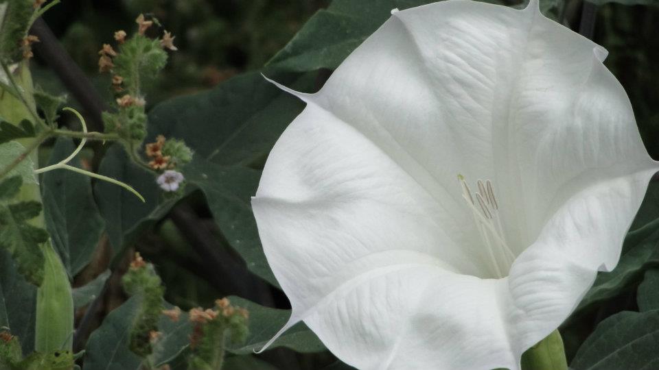
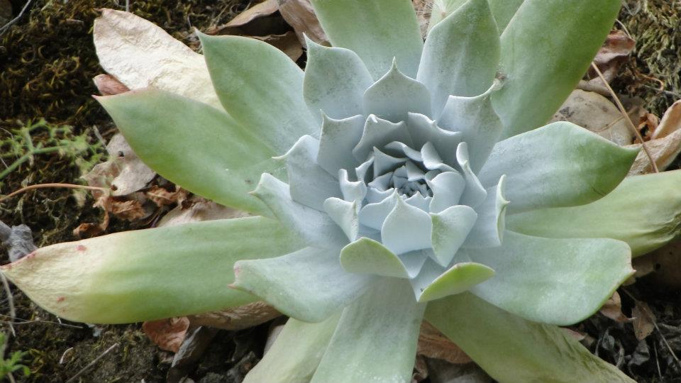
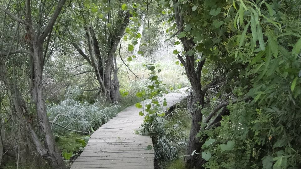
Three pleasant surprises awaited me in Fallbrook this morning. Two were tasty appetizers that, while small, both featured a couple of gorgeous spots. The third, Santa Margarita River, was a satisfying full-course meal. All three feature the miracles that occur when you mix abundant, reliable water sources with warm, sunny weather. There are moments in all three hikes where the thickness of the vegetation resembles Hawaii more than arid San Diego County.
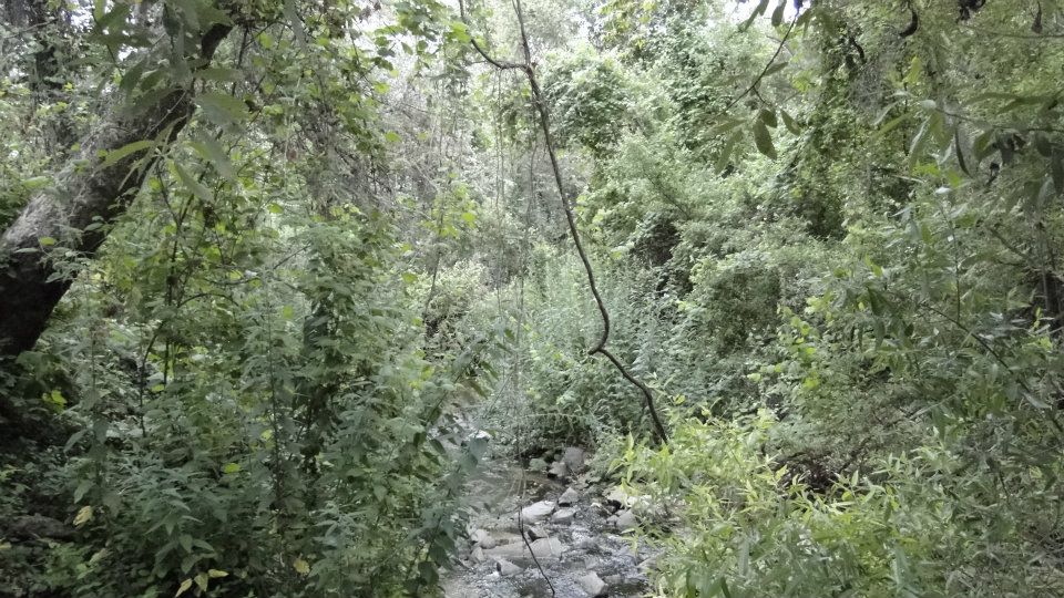
My first stop was Hellers Bend, a tiny preserve set off the main road. There isn’t much to Hellers Bend. A simple gravel road crosses a densely-vegetated creek and ascends to the top of a hill for some decent views of Fallbrook, and, minus the marine layer, the Palomar Mountain range. However, the clouds were dense, so I had to settle for Fallbrook.
The most notable thing here was the creek, which was as dense as a jungle in a tropical rain forest. Wild grape vines clung to sycamore trunks, giving the place a wild, shaggy look. On its own, this place is not worth traveling for, but if you’re passing through, it’s not a bad stop. In other words, an appetizer. Or a snack, if this is where you live.
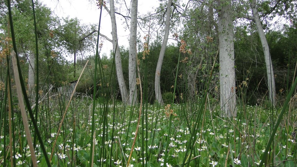
My second stop was Los Jilgueros Preserve, a tiny park with a small trail network that crosses swamps, creeks, and passes a garden, two ponds, and a lot of planted ash trees. This tiny little park is a secret beauty spot that is popular with locals, yet it suffers from a lot of traffic noise nearby. Again, on its own, this wouldn’t be a destination, but it’s a great stop if you’re passing through.
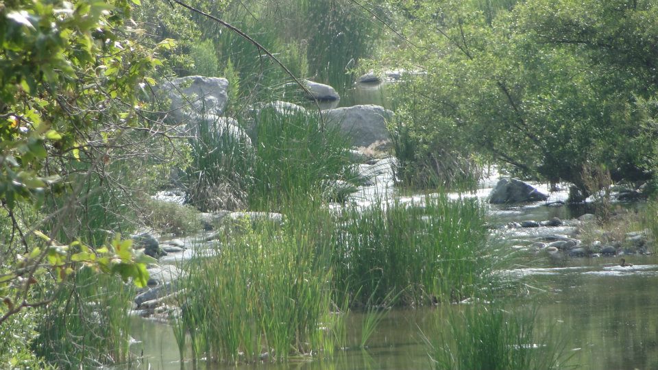
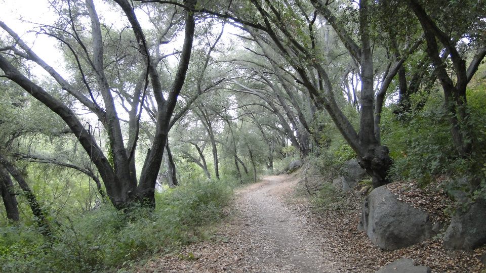
The real destination was Santa Margarita River. My conception of this river was based on the wide-open wash that spills out into the ocean by Camp Pendelton. Trains roar over that, and a lot of fine, loose sand indicates hard hiking. However, this section of the river is vastly different from what it ultimately ends up being at the beach.
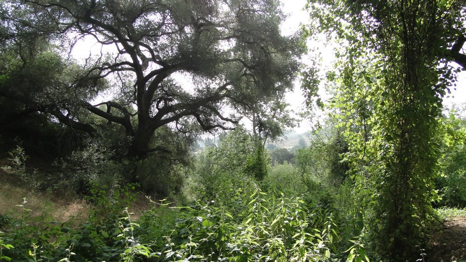
The river is tucked into a canyon that is actually far more developed than it appears to be. You can’t see all the homes on the hillsides because of the dense growth of trees and the somewhat skillful ways in which these houses are set back. Like Penasquitos Canyon, this place manages to be wild and pristine even in the midst of a low-density suburb.
The trail hugs the south side of the river while it takes under spreading live oaks, stately sycamores, dense willow groves, and numerous side trails that lead to the banks of the rivers. The riverbank here is popular with the locals who come to fish and splash around in the water. The river carries a decent volume of water, although the pace is pretty lazy, making for a nice, easy river environment.

You continue on like this for a few miles until the trail obligates you to cross the river. While I didn’t mind crossing the river, taking off my shoes and wading across for the fun of it, I did mind that it was pretty difficult knowing whether I was going where I wanted to be going. There aren’t a lot of signs here, so it’s hard to tell exactly where you are. I took a picture of the map at the trailhead, but that didn’t do me a lot of good, since none of the trails were labeled.
I enjoyed all three of these hikes, particularly Santa Margarita and Los Jilgueros. Hellers Bend was nice, but the most noteworthy part occurs at the very beginning. These wet, verdant, vibrant places are great antidotes to the dryness of Southern California.

June:12.4 Miles
Year-to-Date: 634 Miles
