

 |
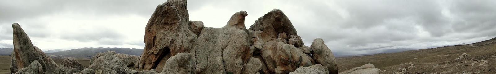
| Dude! Bro! That rock looks like an eagle! |
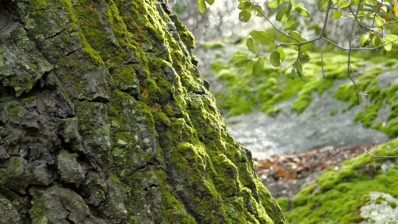
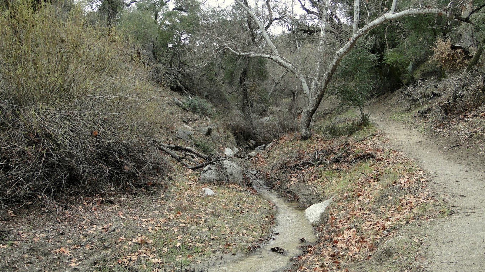
Eagle Rock is a conspicuous granite formation located along the Pacific Crest Trail just south of Warner Springs. This segment of the Pacific Crest Trail travels through cool oak woodlands and a bubbling stream before passing into the realms of Rohan.
Distance: 10.2
Elevation Gained: 1,000′
Difficulty: Moderate
Time: 3:30
Critters: Hawks, ravens
Note: It’s possible to make this hike at least 3 miles shorter by starting near the CalFire station on Highway 79.
Details:
Continuing on this drizzly, cool day, I pondered where I might hike next after finding myself satisfied with Palomar. Originally, I had intended to hike a full 9 miles at Palomar and do a smaller hike afterward. I ended up inverting that plan by doing a full 10 miles on the PCT, which I had originally believed to be 6 miles total.
This portion of the PCT stretched between Highway 79 just west of Warner Springs and Eagle Rock, which is just before San Felipe Road and a famously brutal stretch of the PCT through the San Felipe Hills in Anza-Borrego Desert. While that segment is hot, foreboding, and downright nasty, this particular stretch – at least during the cooler months – is absolutely lovely, with green valleys, oak woodlands, a stream, and some nifty rock piles.
 |
| It is usually best to ask King Theoden’s permission before traversing these lands. |
The trail starts off at the same parking lot for the Agua Caliente Creek trail, which continues the PCT north toward Highway 74 near Idyllwild. The segment running south actually connects a tight bend in the highway, and this 1.8 mile stretch can be omitted by those who wish to shave off some unnecessary miles. In this stretch one will find oak woodland, the broad floodplain of Agua Caliente Creek, grasslands, a lot of confusing trail junctions, and an even more confusing passage back over Highway 79 near the fire station.
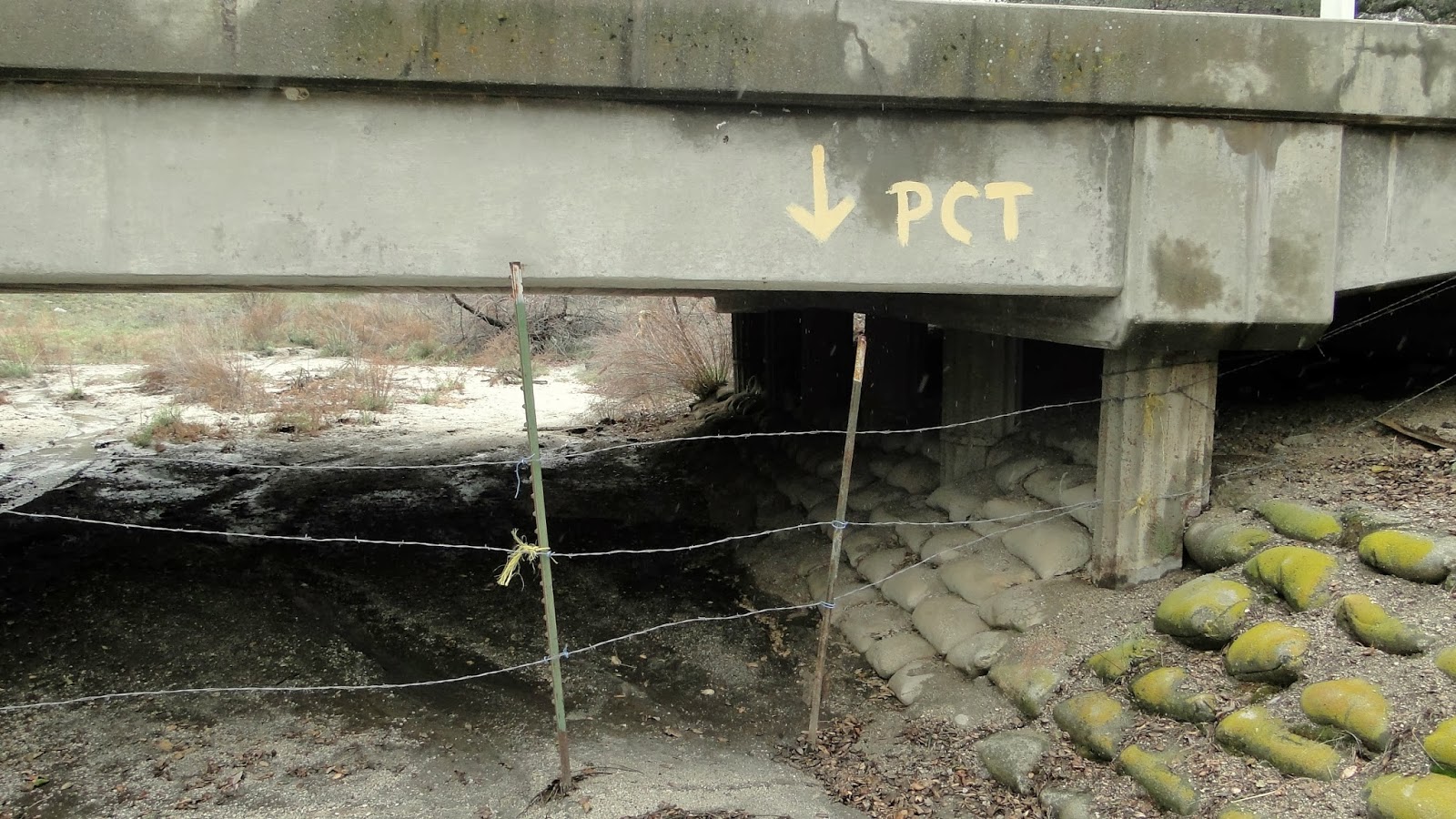 |
| Go home, PCT. You’re drunk. |
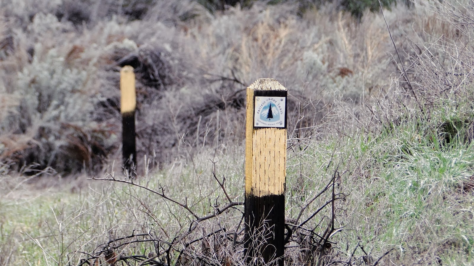
If you hike this, keep your eyes peeled for the PCT markers. There are a lot of them around here, and for good reason. The PCT’s tread is crossed frequently by jeep trails, livestock paths, and use trails. Without following the markers, one will quickly become lost through the myriad side options, many of which look more promising than the actual PCT. Also be aware that many of the PCT markers have been knocked over. I tried to upright them all, but my work will be undone by a stiff breeze. As long as you follow the markers, you won’t get lost.
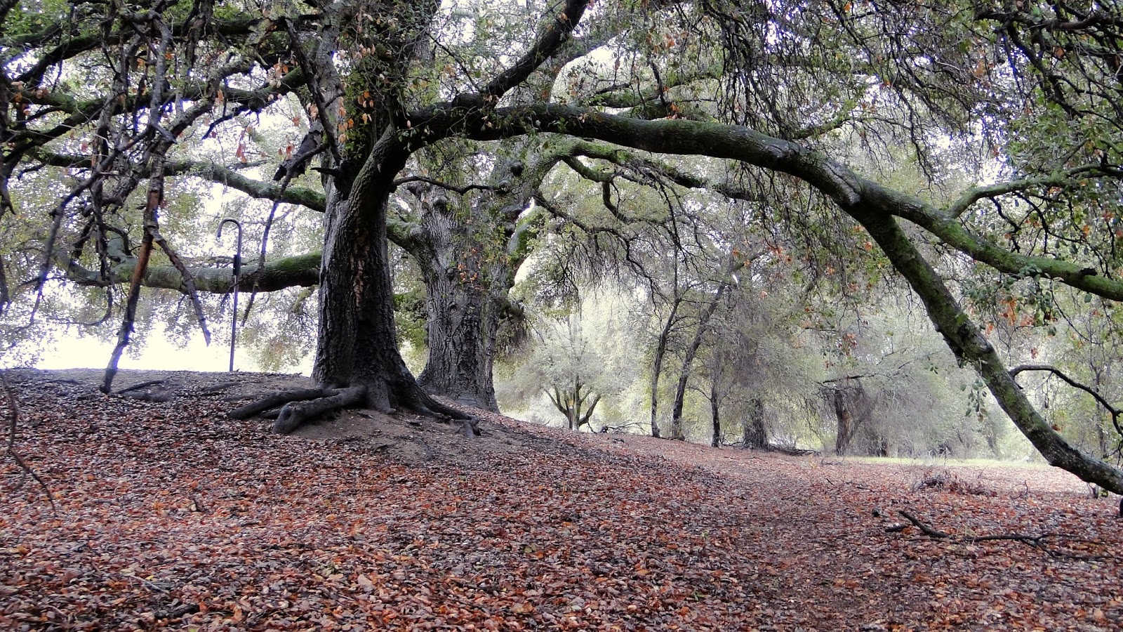
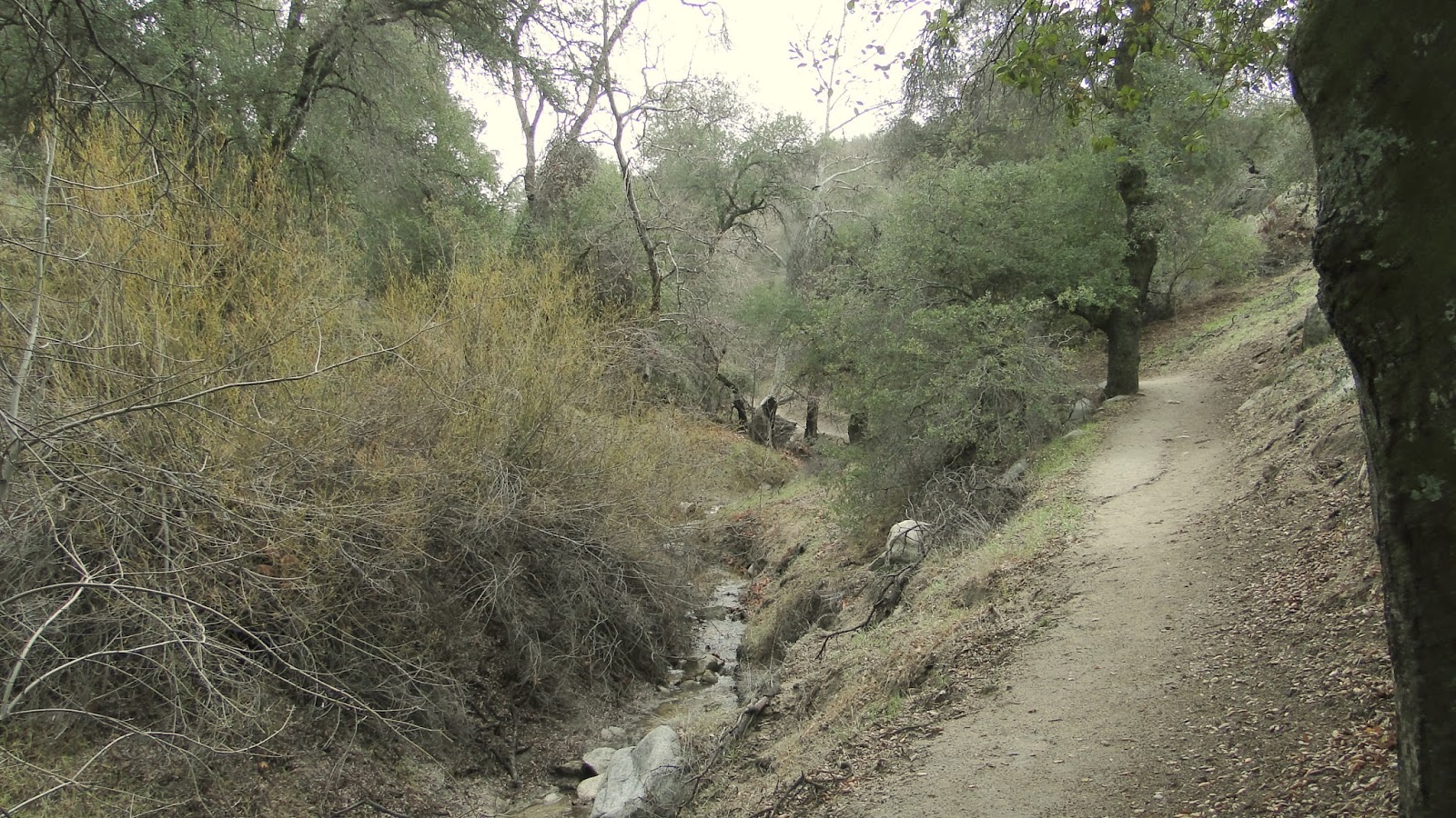
After Highway 79, the trail passes into a lovely wooded section along side a stream, which, after the rains, was running merrily along. You’ll likely see a lot of people on the trail as Eagle Rock is a fairly popular landmark that’s on a very accessible part of the PCT. You may also see horses. With horses, it’s always best to announce yourself as human, lest they think you are some other kind of spooky creature.
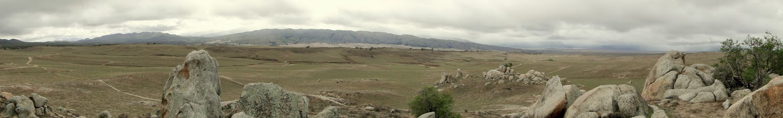
It is pretty remarkable how strongly the rock resembles an eagle. Most of the time when there’s some anthropomorphised feature in the landscape, you have to do a lot of straining and imagining to see why it got named that way. Not here. It looks just like an eagle stretching its wings. It’s pretty cool, but once you’ve snapped your picture, your more likely to enjoy sitting on some of the flat, smooth rocks surrounding it to enjoy the views out toward Lake Henshaw and Palomar Mountain, which on this day were obscured by a curtain of rain.
After that, it’s back the way you came. The trail undulates, but always gently. There’s elevation gain, but it’s almost always gradual. Unless it’s a really hot day, this is an easy 10 miles, and I finished the actual walking part of it in three hours, which is only really sustainable on flat terrain. For a good adventure in the backwoods with good views, nice trees, a fun landmark, and the ability to brag that you’ve at least been on part of the PCT, this is a great option.
March: 19.8
Year-to-date: 201.9
