
Trabuco Canyon is the major drainage of the Santa Ana Mountains north of Los Pinos Ridge/Highway 74. The canyon and lollypoop loop created by climbing the West Horsethief Trail, merging with Main Divide Road, and coming back down the extension of Trabuco Canyon Trail features some of the best variety on any hike in Southern California.
Distance: 12 Miles
Elevation Gained: 2950′ (And I earned every one of them)
Difficulty: Strenuous, mainly because of the Horsethief Trail
Time: 5:30
Critters: Squirrels, hawks
Note: You will need an Adventure Pass for this hike.
Also Note: The road to the trail is exceedingly rough. I recommend a high-clearance vehicle, unless you’re an idiot like me and want to try it with a Honda Civic.
Details:

There are a handful of canyons in the Los Angeles area that have an otherworldly feel due to the surprisingly dense tree canopies, variety of plant life, and rustic, secluded feel. Santa Anita Canyon, with its shabby old cabins, alder thickets, and fairy-land vibe is one. Icehouse Canyon, with its mix of cedars, oaks, alders, maples, and old cabins is another. Trabuco Canyon is Orange County’s answer to both of those. It features the same types of trees: alders, maples, oaks, firs, and sycamore, as well as the old cabins and some colorful history.
Holy Jim Canyon connects and provides access to a small waterfall, as well as the trail up to Santiago Peak. This 15 mile odyssey is a must do, but the Trabuco Canyon-Horsethief Loop has more variety and is slightly less taxing. Slightly. The trail starts out from the same spot and travels steadily uphill into the upper reaches of Trabuco Canyon. This first third of the trail features all the climbing, and since a good part of this trail is exposed, it’s best to do it in the morning to avoid roasting.
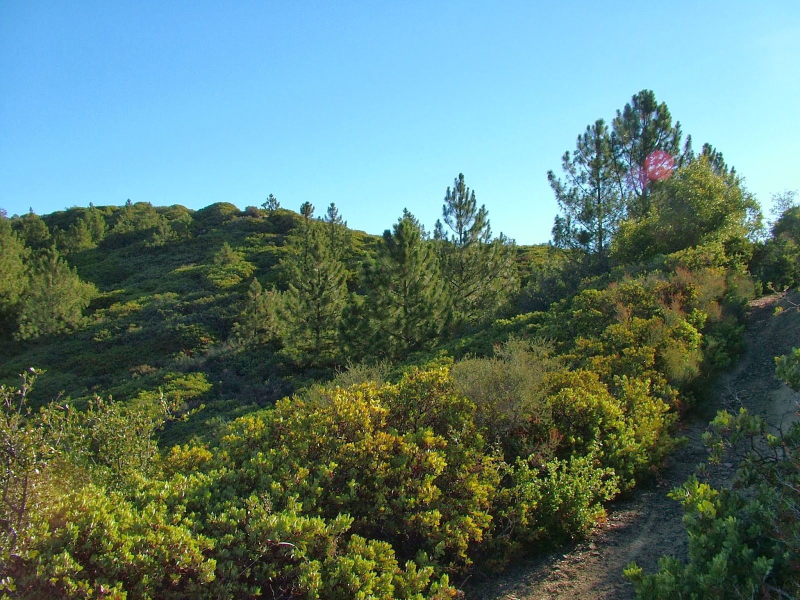
The Horsethief Trail in particular is a real ass-kicker. This relentless switchbacking trail climbs a consistently steep grade and adds 1,200′ of elevation over about 1.5 miles. It’s good to get the climbing done quick, but good lord was this hard. I was rewarding with pine trees, signaling the second phase of the hike.
 |
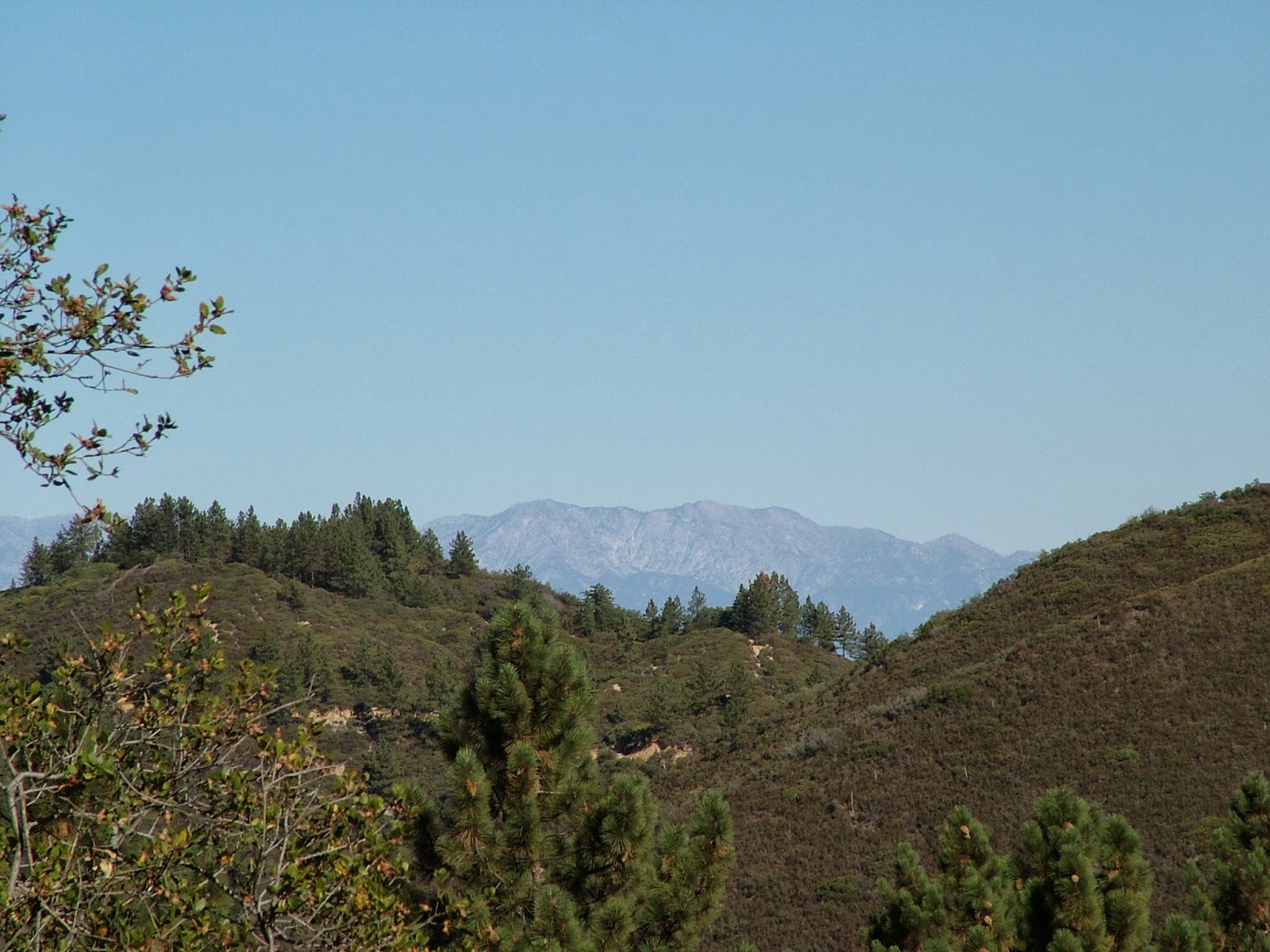
| Mt. Baldy in the distance |
This morning was a perfect time for mountain hiking. The air was clear, clean, and crisp, with almost unlimited visibility across the Inland Empire. Not a soul was in site, and I walked along the spine of the Santa Anas, looking down at Lake Elsinore at the traffic snarl on I-15. I know working a non-traditional schedule has a number of downfalls, but having a mountain range to myself on a cool Fall morning is certainly not one of them.
 |
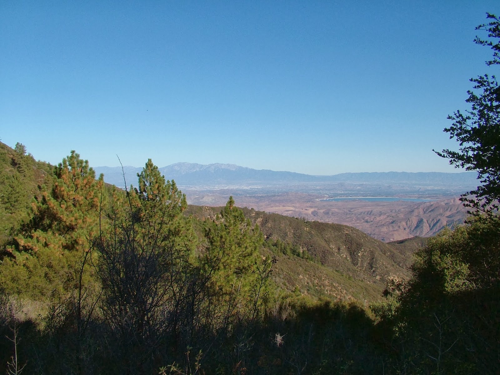
| Palomar Mountain |
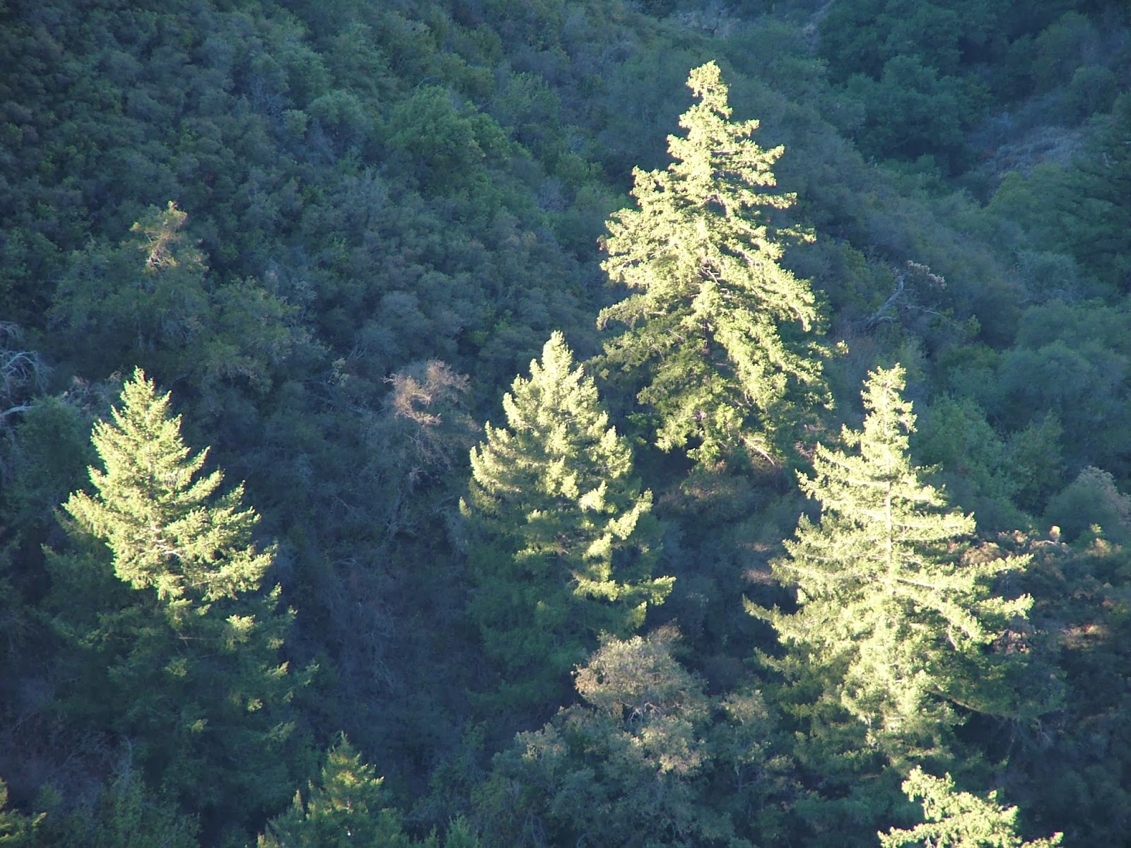
Main Divide Road continues south until it reaches a junction with Los Pinos Ridge and the Trabuco Canyon Trail. There’s a dense patch of Coulter pines, with a smattering of incense cedars to boot at this junction, and the Trabuco trail travels down through aromatic bays, golden maples, and shady live oaks. I can’t think of many other trails around that feature this much variety in trees.
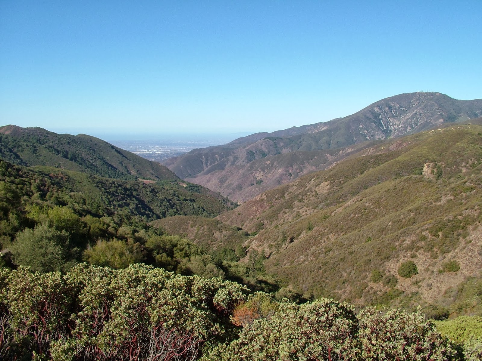 |
| Trabuco Canyon from Main Divide Road |
After taking the Trabuco Canyon Trail, I stopped briefly to gather some fallen bay nuts. Not Michael Bay’s. Bay trees. California Bay Laurel is a relative of the bay tree that provides seasoning to so much cooking. The California tree is far more pungent, and it reproduces through nuts, which fall during Autumn. At some spots, there were bay nuts everywhere, and I collected a bag full to take home and roast. For all I know, it could taste like dog farts, but I’m curious. I’ll let you know how it turns out.

I was pretty tired by this point, as my neighbors decided to have a late night party with their door open last night. I then had a dream about the zombie apocalypse which woke me up and kept me up. 5:30 of hiking on 3 hours sleep is pretty draining, which is probably why I considered this strenuous. Whatever the case, this was a great hike featuring views, trees, canyons, a touch of fall color, and a chance to exercise my bizarre compulsion to forage. Ciao, October.
