
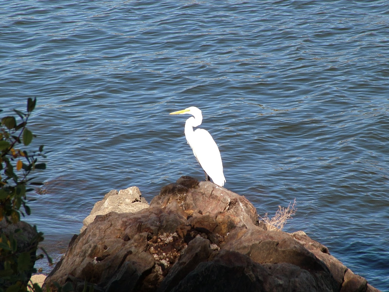
The Cuyamaca Reservoir collects water draining from the north side of various peaks and creeks in the valley between North Peak and Stonewall Peak. It offers fishing, boating, hiking, and picnicking options, and features one of the few unburnt parcels of forest in Cuyamaca State Park.
Distance: 3.6
Elevation Gained: 200
Difficulty: Easy
Time: 1:30
Critters: Egrets, Herons, Ducks, turkeys
Note: There is an $8 day use fee to visit this part of the park.
Details:

Kelly and I went on a brief camping trip to William Heise County Park south of Julian. In between a roaring campfire, homemade chili and roasted Brussels sprouts, giving CatCow saucers of half and half, and sleeping under 40 pounds of blankets in our enormous palace of a tent, Kelly and I took a leisurely stroll around the trails at Cuyamaca Reservoir.

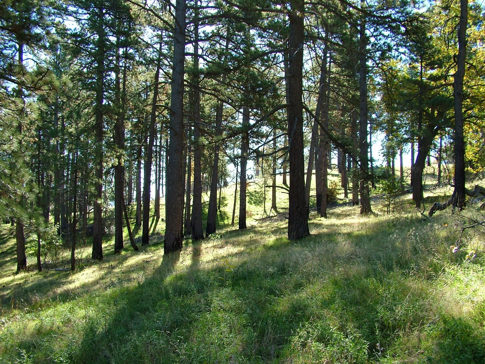
I’ve hiked and blogged this area before, and I feel that it’s one of the best hikes in San Diego. Certainly, it’s a great beginners hike as the slopes are gentle, the views are lovely, there’s a ton of wildlife here, and it’s high reward versus low energy output – just the sort of thing to pique the casual hiker’s interest. Add in a curious mix of fall colors and, in some places, bright green grasses, and today’s hike was a pretty colorful one as well.

From August to October, Cuyamaca actually received about 4-5″ of rain due to numerous monsoonal thunderstorms and an early winter storm during the first half of this month. As a result, there’s a faux spring occurring with the grasses greening up and sporadic and small wildflower displays. It wasn’t enough rain to set the creeks flowing again, and the reservoir is lower than it had been in Spring, but the area was far lusher than I expected.
Kelly and I enjoyed the hike, and after wrapping it up, we drove back into Julian for a slice of pie. If you’re looking for a pleasant day trip out to the San Diego mountain areas, one great option is to drive up to Julian, earn the pie by hiking this trail, and then return for the pie and browsing in the shops. I can think of far worse ways to spend a day.

One other note. These pictures were not taken on my usual camera, which is in the shop getting a lens replacement. These pictures were taken using my Step-dad Dave’s camera. I borrowed it for this trip and until I get my regular camera back. During the period in which I sent the camera in for repairs and now, I did the following hikes without any documentation:
Black Mountain (Rancho Penasquitos), 3.6 miles
Knott Grove, 3 miles
PCT: Fages Monument to Scissors Crossing, 17 miles*
*This is the first segment of my planned attempt to day hike the PCT in San Diego County in segments. This stretch covers the trail from Sunrise Highway on the east end of Cuyamaca Rancho State Park to Scissors Crossing where CA 78 meets SR 22 in the Anza-Borrego Desert. This was a wild and remote hike.
