Tahquitz Peak, also known simply as Tahquitz, is the high point of a granite outcropping in the San Jacinto Mountains that forms the south side of the bowl within which sits the town of Idyllwild. This 8,832′ peak holds a 75 year-old fire lookout tower and features panoramic views from Palm Springs to Anza Borrego to San Diego to Temecula, and all the ranges and valleys inbetween.
Distance: 8.2
Elevation Gained: 2,700′
Difficulty: Moderately Strenuous
Time: 4:45
Critters: One deer, squirrels, a hawk
Note: You will need an Adventure Pass and a permit from the National Forest ranger station in Idyllwild.
Details:
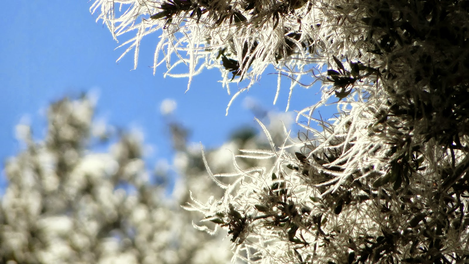 |
| Mountain Mahogany |
As far as I can tell, there is no consensus on how to pronounce the word “Tahquitz.” I have heard some people claim that it is “TAHkwits.” Gretyl, the retired volunteer manning the lookout tower on the peak, claimed it is “TAkits.” Other people still claim that it is “tahKEETS.” One smart ass called it Taquito Peak. Whatever you want to call it, it’s a great hike.
 |
| Up the Devil’s Slide Trail early in the morning |
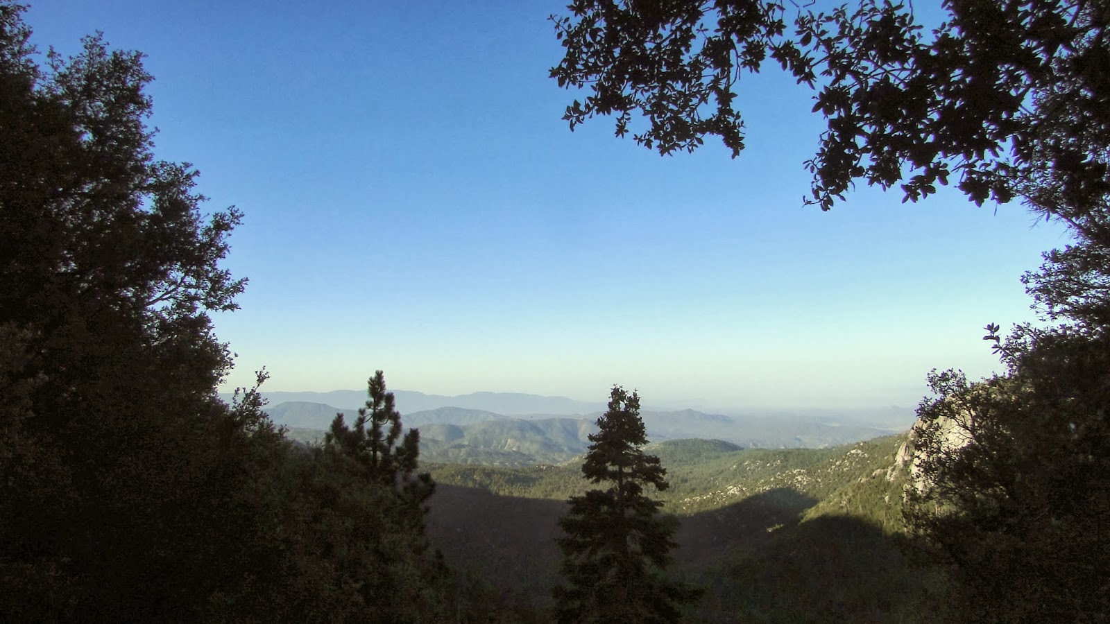
What makes it great includes: expansive views to the north, south, and west, which go out as far as Catalina when the air is clear; a moderate mountain climbing experience that can bridge the training gap between the milder mountains in San Diego and monsters like Baldy, San Jacinto, and San Gorgonio; lovely forests; and an old lookout tower that is still in use and still manned.
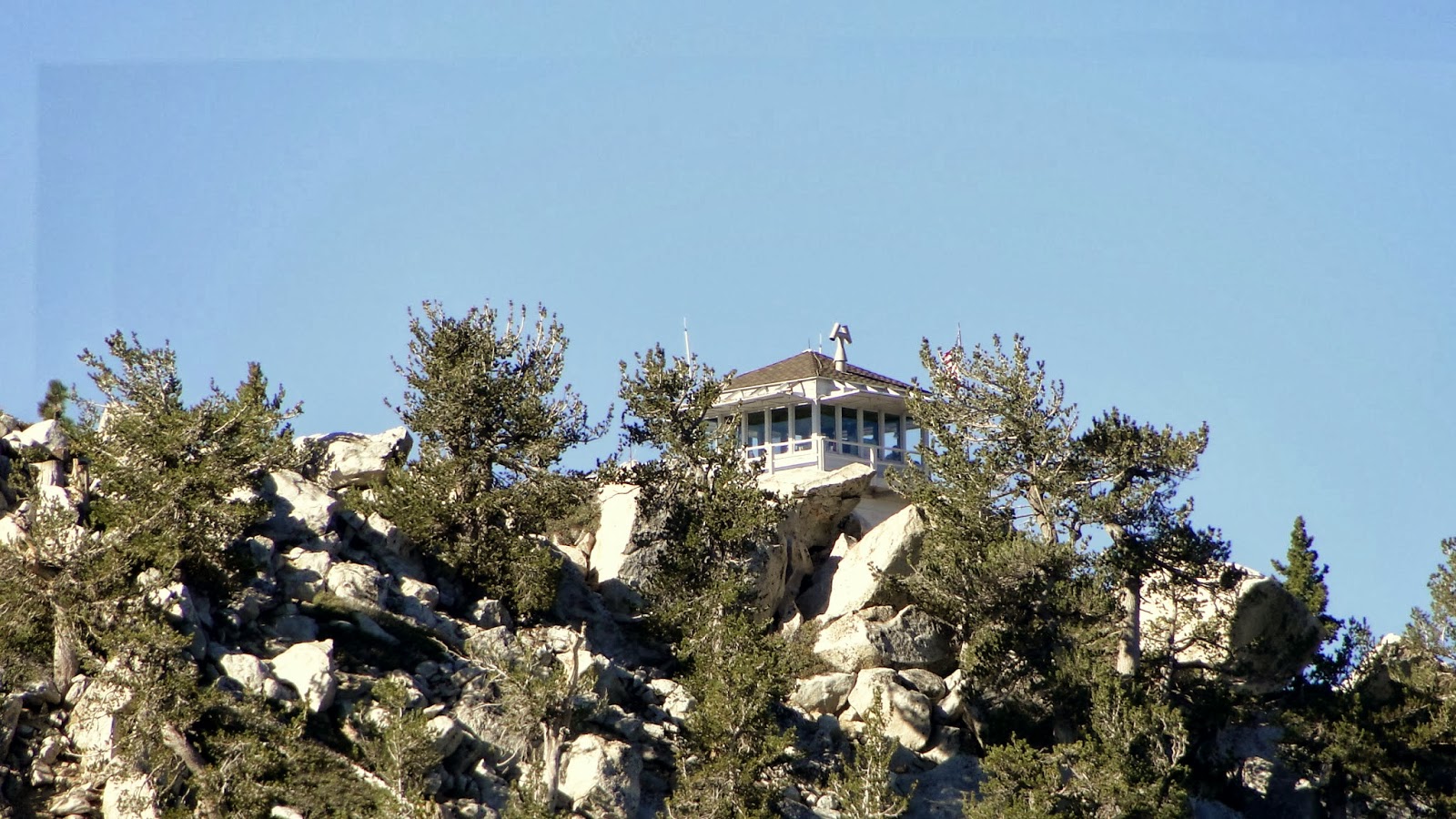
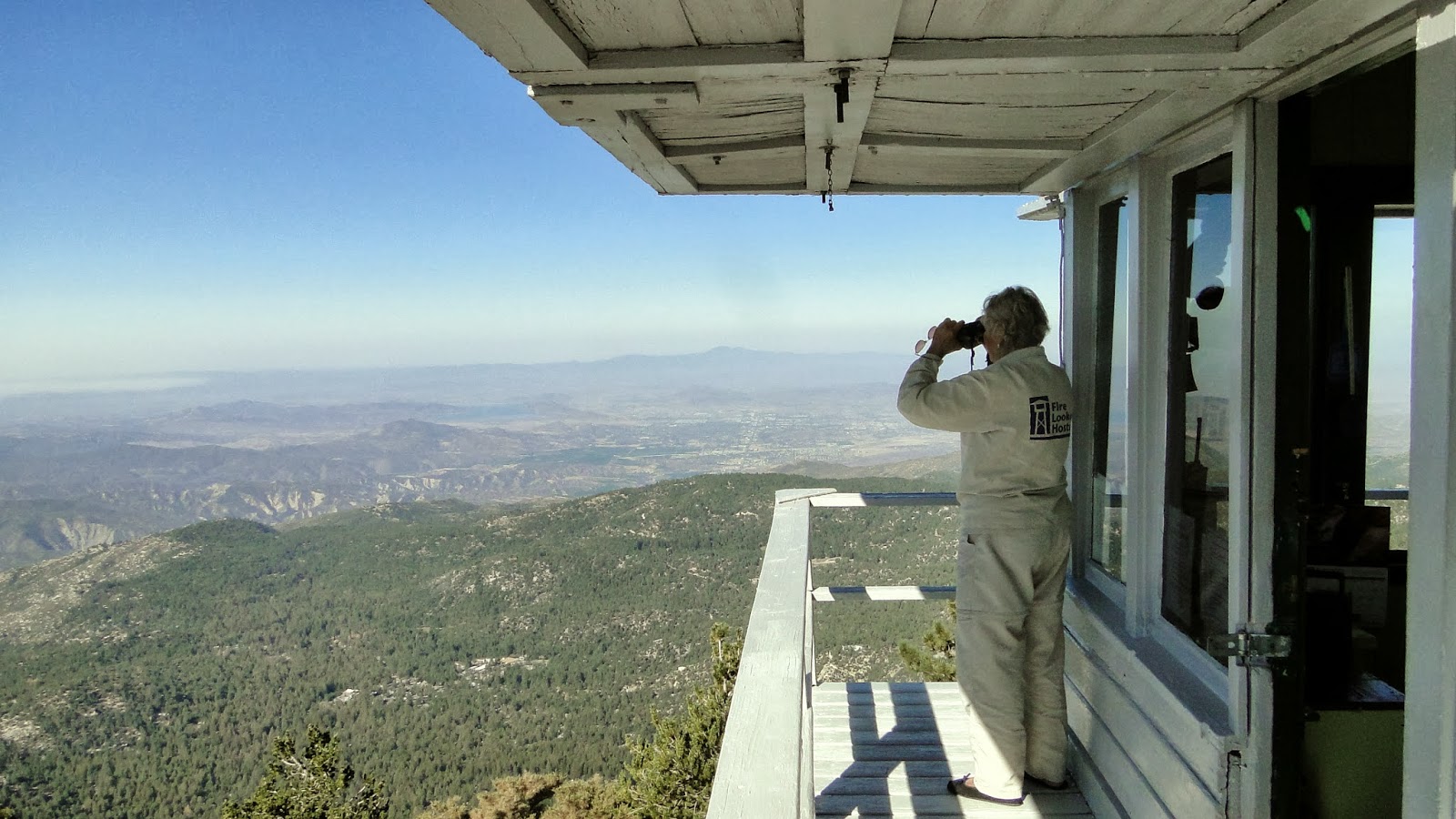
This lookout tower is the third built on this spot (the first two burnt down). It covers a vast section of the southern district of the San Bernadino National Forest. At a point during the 80’s or 90’s, most fire lookouts went out of vogue, likely because of the cost of upkeep and staffing. The government figured that satellites would be more effective spotting fires. However, you can’t just ask a satellite to be in one place when you want it, and so a lot of fires were being missed. Turns out that there’s no substitute for a set of eyes and a pair of binoculars.
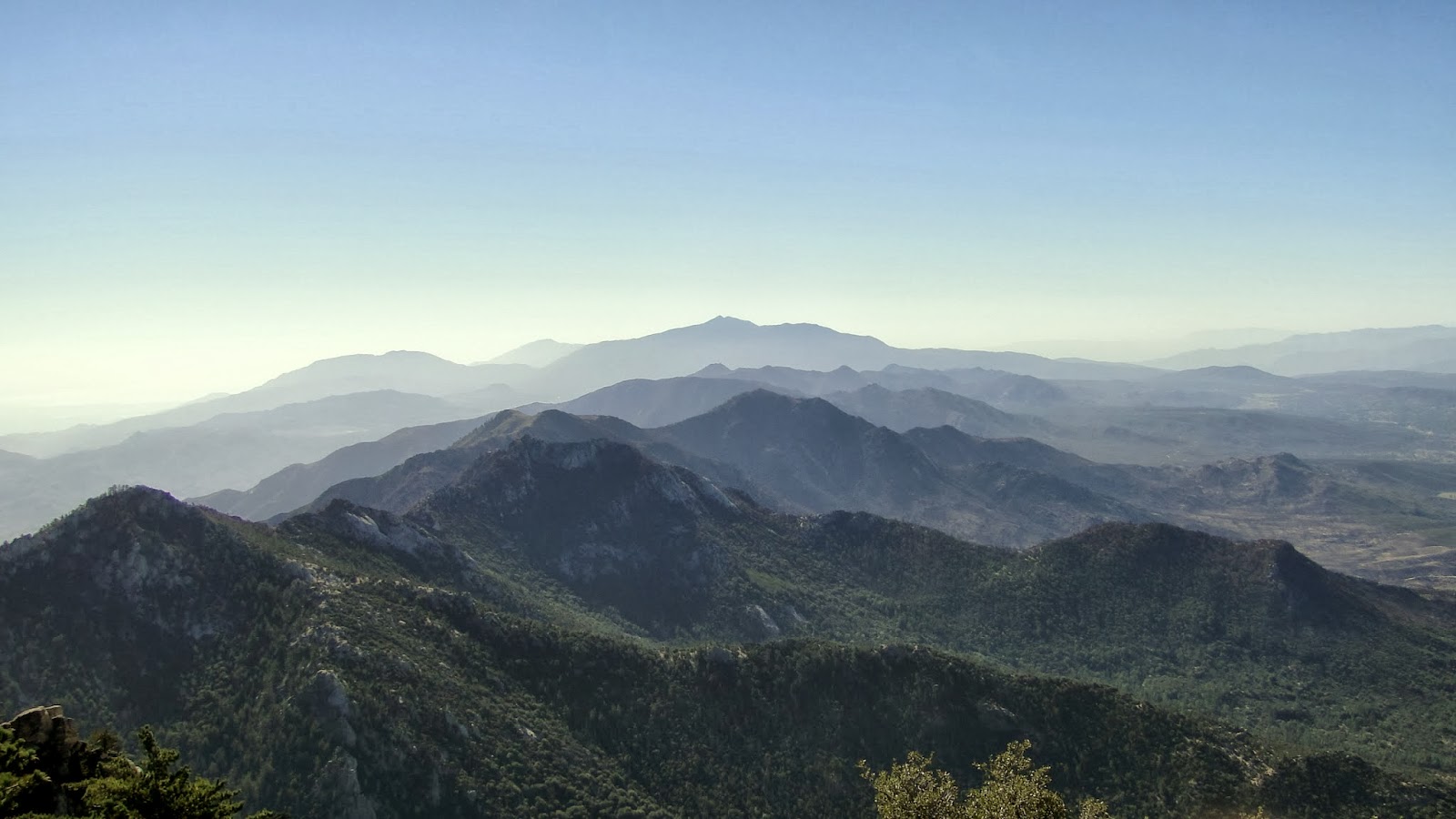 |
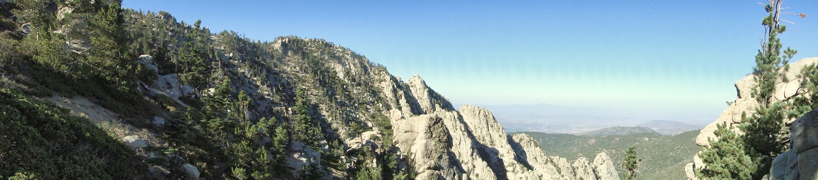
| The Desert Divide and Santa Rosa Mountains from the lookout. The peak (Spitler) in the dead center of the shotwas thoroughly scorched during the recent Mountain Fire. |
On this day, Gene and Gretyl, a retired couple from Palm Springs, were manning the tower. They hiked up on Monday with a week’s worth of food and set up shop in the tower where they scanned the horizon during the day and read during the evening. This couple, likely in their 70’s, hiked the 4.2 miles to the tower with full backpacks. Not a bad way to spend your golden years.
This was my first trip up to the San Jacintos since the mountain fire. Gene and Gretyl were happy to report that the fire didn’t do extensive damage to the higher elevations. They had access to the burn areas since Tahquitz Creek is the water supply for the lookout volunteers. Apparently, the fire stayed close to the ground and mostly avoided getting up into the crowns of the trees. Crown fires, like the catastrophic Rim Fire in Yosemite, will kill a forest. Ground fires do the housecleaning. In a few years, the San Jacinto Forest is likely to be more healthier than it has been in some time.

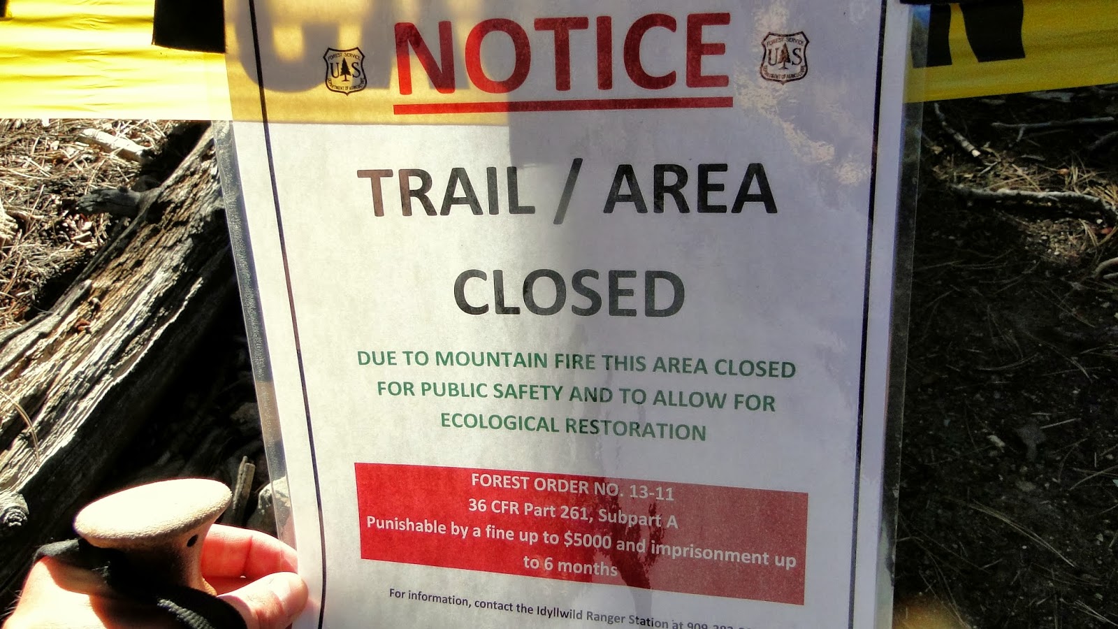
Not today, however. Most of the trails in the San Jacinto trail network are currently closed. The only trails open right now are the Suicide Rock Trails, Devil’s Slide and PCT to Tahquitz Peak (the rest of the PCT in the area is closed indefinitely), Marion Mountain, and Seven Pines. Everything else is pretty much out of service as the forest service gives the woods a full winter to recover.
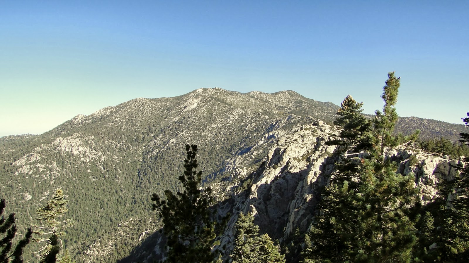
It appears then that the mountain fire mostly destroyed chaparral that had been overdue for a good burn for about 50 years. Chaparral takes about 20 years to return to full glory, and it has essentially evolved to be set on fire every 30 to 50 years. That will all come back. Conifers, which don’t recover nearly as quickly, are much more susceptible to fires. As the fuel on the ground from dead trees, etc. builds up, the forests are at risk. San Jacinto dodged a bullet though, as the Mountain Fire appears to have burnt out a lot of the ground fuel. Quite a bullet to dodge as the San Jacintos feature some of the best mountain hiking and scenery in SoCal.