
 |
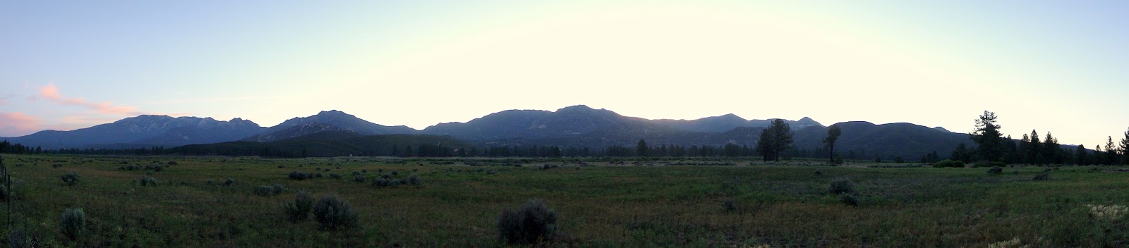
| Driving through Garner Valley at Dawn. Mt. San Jacinto is on the left. |
 |
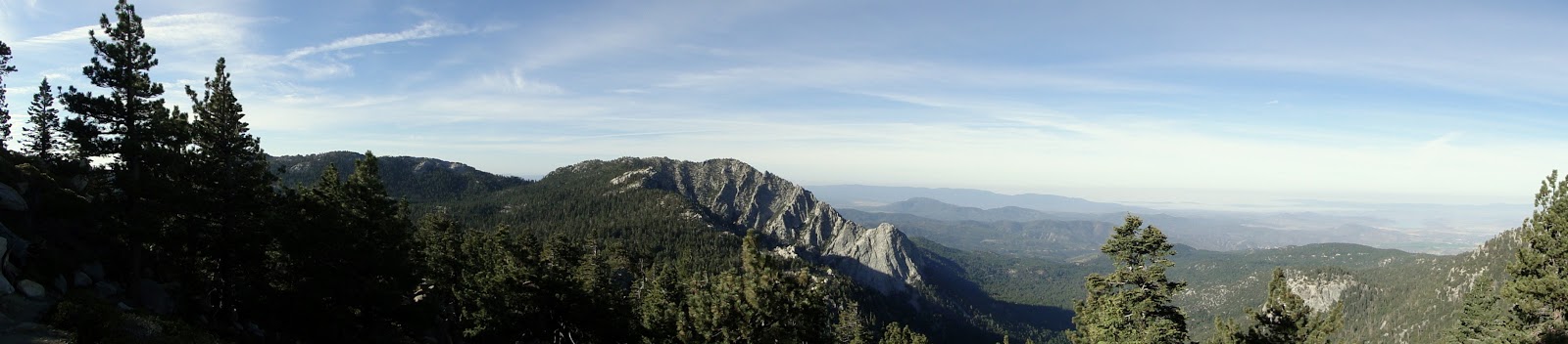
| Looking in the same general direction from the summit of Mt. San Jacinto. |
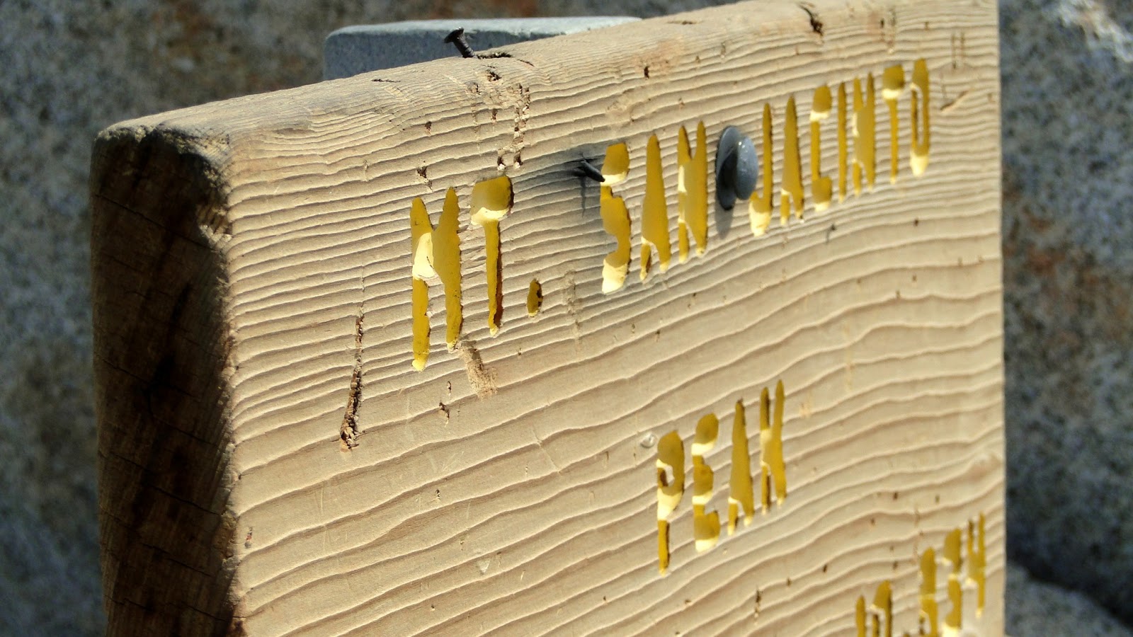
Mt. San Jacinto is the second tallest peak in Southern California at 10,834′. There are numerous ways to get to the summit, and all of them require a fair amount of work. The hike from Devil’s Slide Trail allows great views from the time you reach the Devil’s Slide/PCT junction. While it is a longer way to get to the top that the tram route or the Marion Mountain Trail, the effort is more than rewarded by the views, forest, meadows, and dramatic topography.
Distance: 16 miles
Elevation Gained: 4,200′
Difficulty: Strenuous
Time: 8:15
Critters: Quail, squirrels, ravens, hawks
Note: You will need an Adventure Pass to park at Humber Park, even though I forgot to put mine up and totally got away with it.
Also note: You will also need a permit to hike in the San Jacinto Wilderness. You can pick them up at the ranger station. The permits are free, and you can fill one out without needing to talk to a ranger if you’re dayhiking.
This is the second time that I’ve climbed San Jacinto, and, blessedly, it was far less eventful than the first time. On my first trip, I summited via the Marion Mountain Trail. However, this was not long after a snowstorm, and I spent the last few miles to the peak knee deep and lost. On top of that, I got lost on the way back down and broke my trekking pole. On the positive side, this was also the first peak over 7,000′ that I had climbed, and, on the way down, I received a phone call from my current boss telling me that I could train at their site for my graduate degree.
Nothing like that happened on this trip, and that’s a good thing. The most exciting things that happened included me having some good conversations with a couple of PCT through-hikers who were expressing relief to finally be hiking in some shade. There was no snow, no new job offer, no broken poles, and I have since summited a few other mountains. However, this was a rewarding experience from the start all the way to the finish, even if the last mile was hot and exhausting.
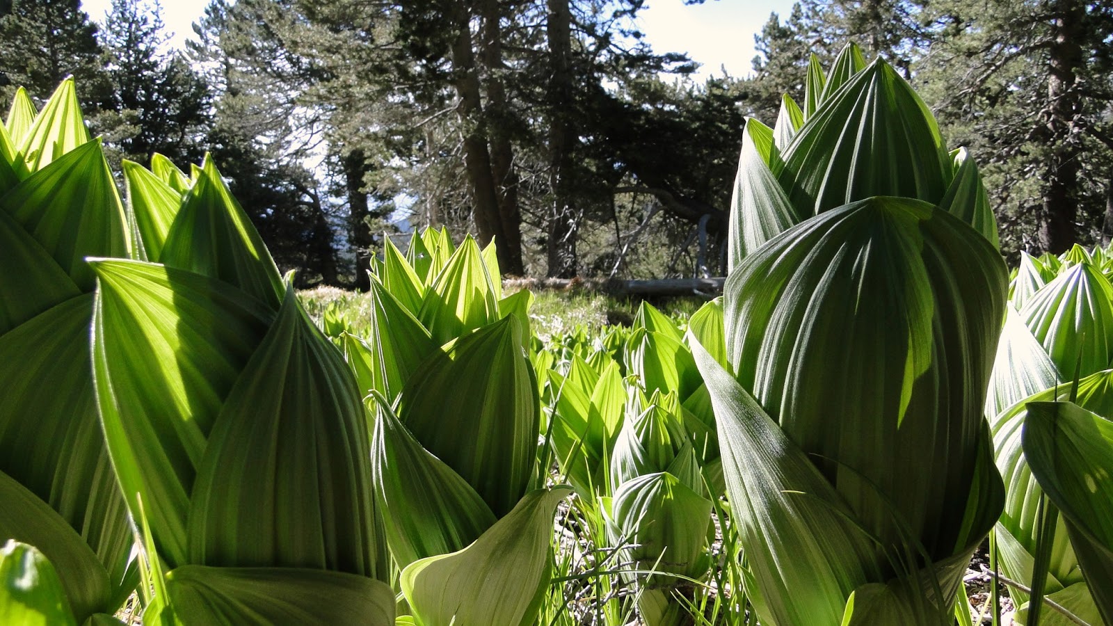
I hear a lot of hikers and other sources compare the San Jacinto Mountains to the Sierras. Sure, the Sierras are much vaster, wetter, and the vegetation is more varied. However, with all the granite outcrops, relatively lush meadows and streams (for SoCal), and the sweeping views, there does seem to be something to the comparisons. The San Jacintos are a great training ground, and they are equally welcome as a Sierra Nevada substitute for those who can’t afford to go camping up there once a month.
What’s also fun about the San Jacintos is that, if you go during May, you will have the opportunity to talk to PCT through-hikers. These guys have been hiking about 170 miles through scrub and desert to this point. Some people say that this is the toughest section of the PCT due to the lack of water and shade. By the time these guys get up here, they’ve fought through all kinds of questionable gear decisions, blisters, nagging injuries, and 25 mile treks without any reliable water sources. They are just at the point where they are getting seasoned, and hearing the stories can be a lot of fun, as well as an inspiration to get out and hike more.
The hike is pretty straight-forward, and it’s not quite as strenuous as the distance and gain sound. For starters, the gain is stretched out more than on the shorter Marion Mountain Trail, which gains 4,500′ in 6 miles. This route gains 4,200′ in 8 miles, which, while no walk in the park, is a much gentler hike. It’s a good example of the idea that not all miles are the same. Gaining 800′ every mile is much rougher than gaining 500′ every mile. Doesn’t sound like much, but it is. Therefore, this is actually an easier route, even though it is 4 miles longer.
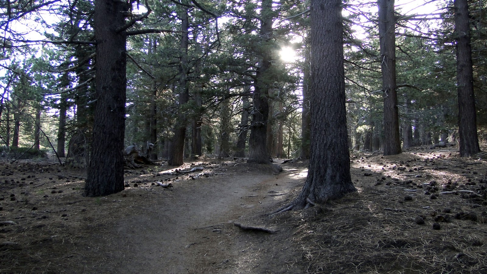
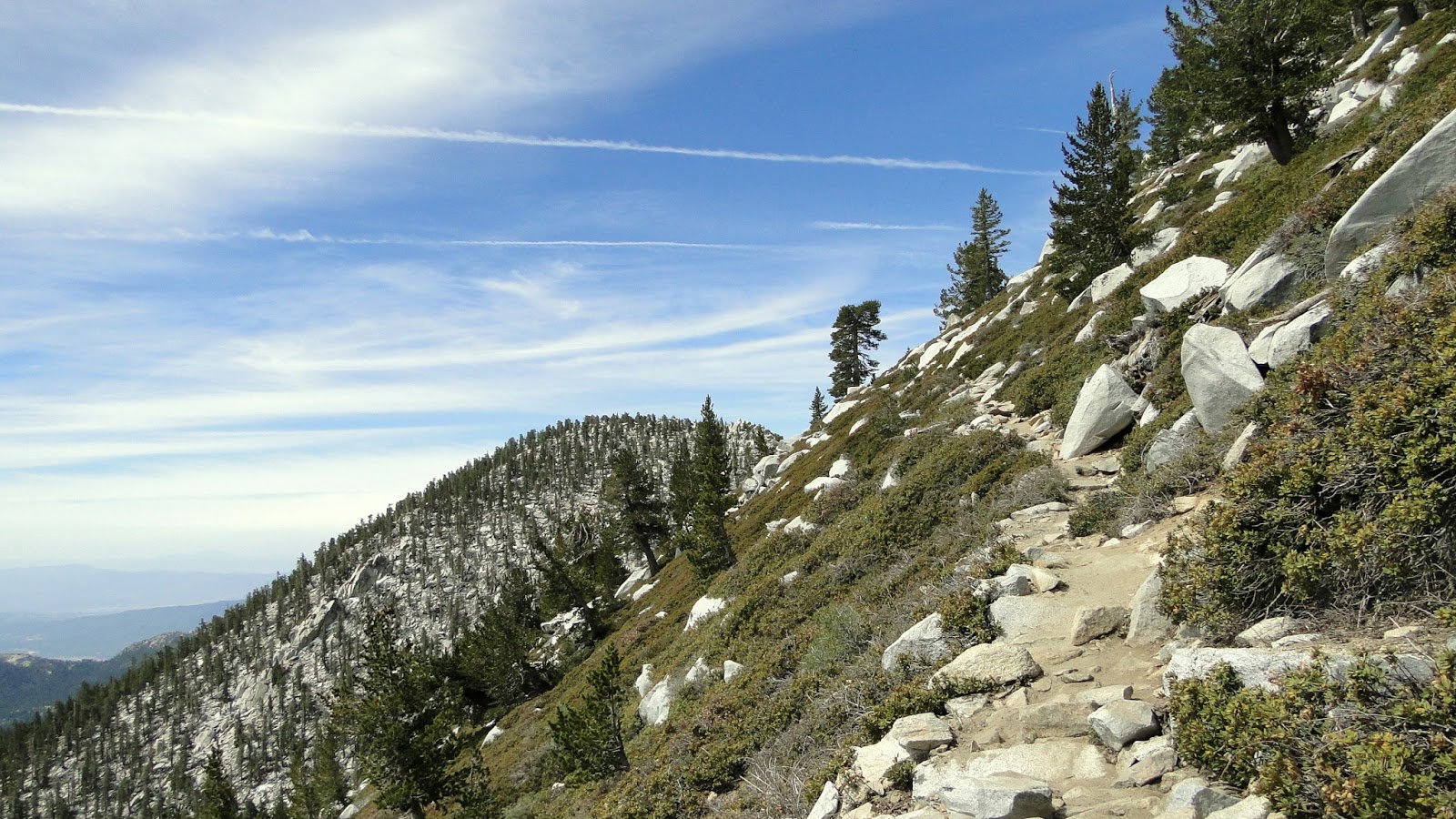
Basically, you climb Devil’s Slide, which is probably the least fun since it’s steeper and somewhat monotonous. Once you reach the PCT junction, head left and begin climbing. Make sure you have a good map as the network of trails is extensive and a little hard to follow if you have no guide. The view at this point keeps getting better, especially where Tahquitz Peak and Palomar Mountain are concerned. It’s easy to pick out the gleaming white dome of the Palomar Observatory, even from here. At the next junction, the PCT veers left, while another trail veers right. Ignore the next segment of the PCT, as that adds another 4 miles and a 1,000′ of climbing to your trip.
 |
| Mt. San Gorgonio from the summit |
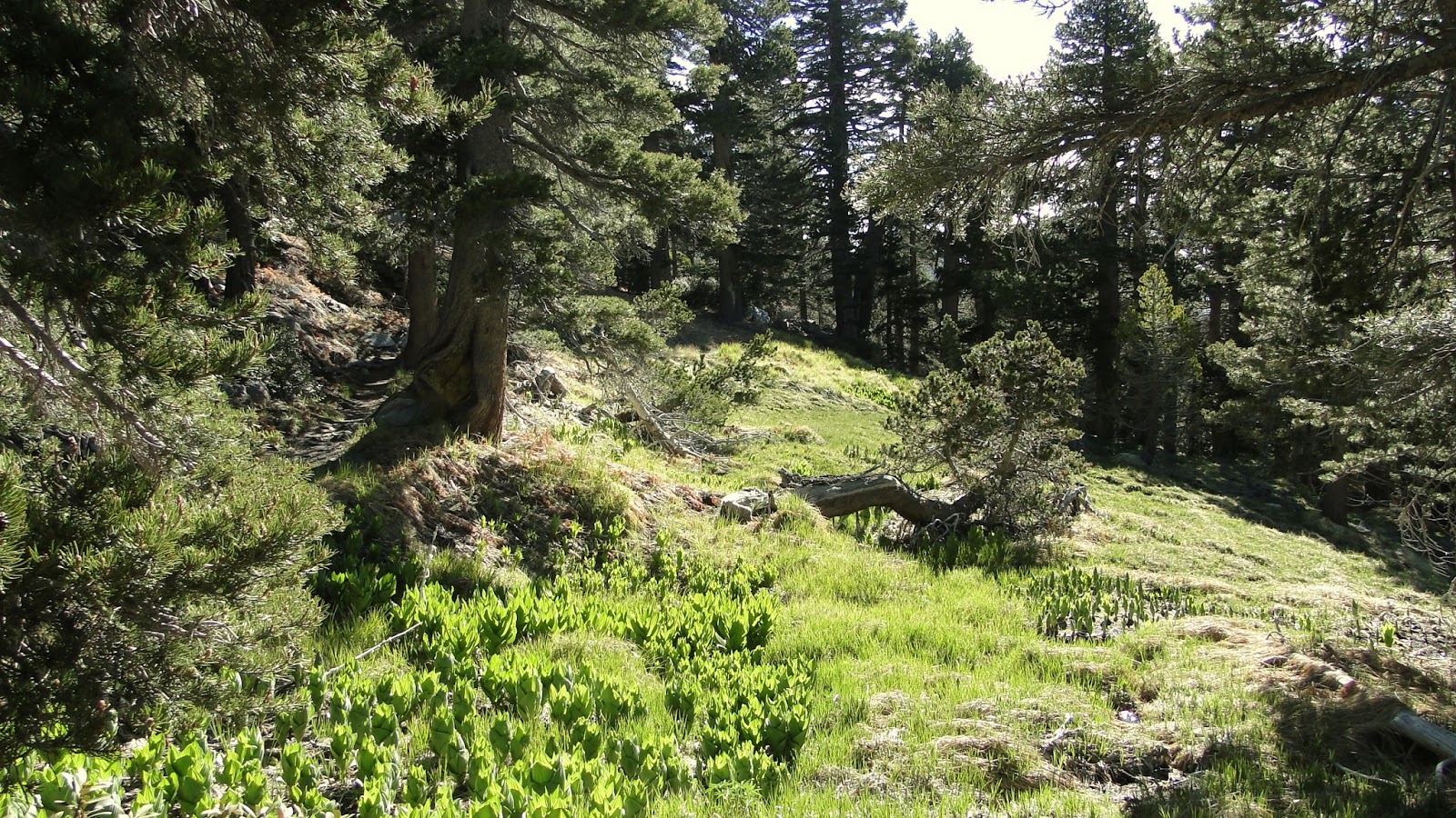
After that junction, you enter San Jacinto State Park. The directions here are fairly straight forward, as you simply need to follow any sign that says “Mt. San Jacinto” and features an arrow. What you do need to be aware of is that it can be easy to lose the trail in some spots due to a number of boulders, downed trees, and generally confusing topography. It helps to bring a map and take your time, especially if you’ve never been here before. There’s really no hurry to get to the top, unless you’re chasing daylight.
 |
| From the summit, looking south-east toward the Coachella Valley |
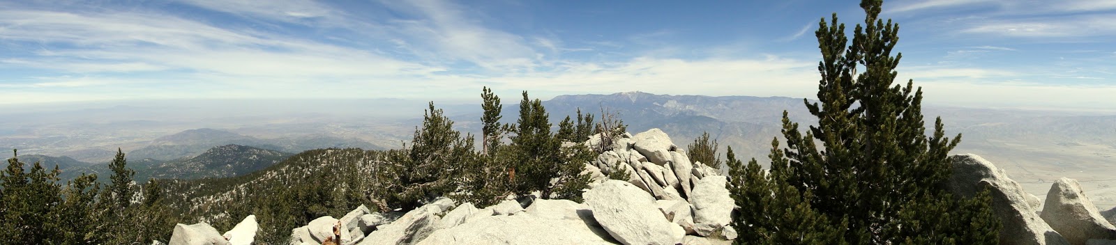 |
| From the summit, looking north toward Mt. San Gorgonio |
I think this remains my favorite mountain in Southern California. The actual peak itself is fairly uncomfortable, but the view is fantastic, as it takes in just about everything. John Muir said that the view here “is the most sublime spectacle to be found anywhere on this Earth!” While I don’t think it touches Mt. Whitney or the Grand Canyon, it certainly takes the case for Southern California.

Id it 16 miles up and 16 miles back OR 16 miles round trip?