

Past Phantom Ranch, Bright Angel Canyon first transitions through a narrow, twisted section called “The Box” before opening up into a broad canyon dominated by towering buttes. Ribbon Falls pours delicately into a grotto to the west, while shady Cottonwood Campground – the last developed campground before the North Rim – awaits the weary hiker.
Distance: 7.2 Miles
Elevation Gained: 1,600′
Difficulty: Moderate
Time: 4:00
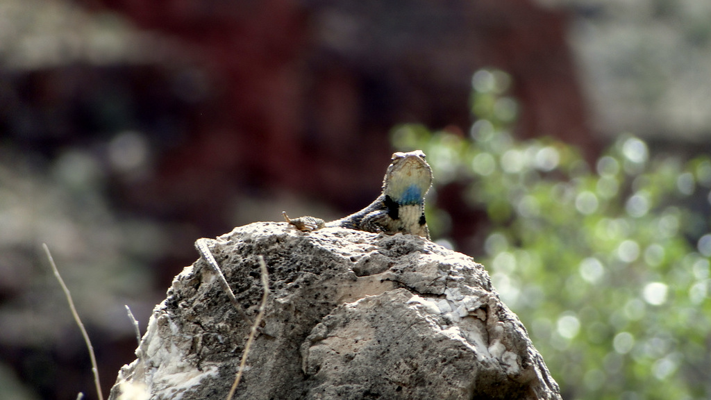
Critters: Lizards, hawks, the laughing bird, and the Black Sheep
Everything that you see at the Grand Canyon is partially a result of water flow. The main water source – the Colorado River – has been carving the main gorge of the canyon for the last 17 million years. However, the canyon is not only the one main gorge. Every butte, side canyon, and mesa owes its existence to tributaries, many of which flow from the rims. Both rims collect far more precipitation than the lower portions of the canyon, with the North Rim collecting an average of 30 inches of precipitation per year.
One striking feature of the canyon is that the south side features far more precipitous drops, while the north side is almost twice as wide with numerous canyons running directly down from the north. This occurs because most water run-off from the South Rim flows south along the Kaibab Plateau and not into the canyon. Conversely, the more considerable water run off from the North Rim also flows south – directly into the canyon. As a result, several spectacular canyons, as well as many of the myriad buttes and “temples” occur on the north side of the river.

Bright Angel Canyon is one such canyon. This long, almost linear canyon runs north to south and contains Bright Angel Creek, which is fed by Roaring Springs. Roaring Springs is a continuously gushing spring that both feeds a major tributary and provides the developed parts of the canyon with drinking water. While 9 states rely on the Colorado for drinking water, the Grand Canyon itself drinks spring water from another source.

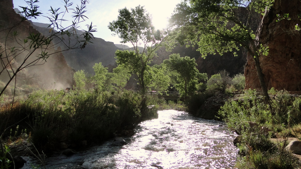
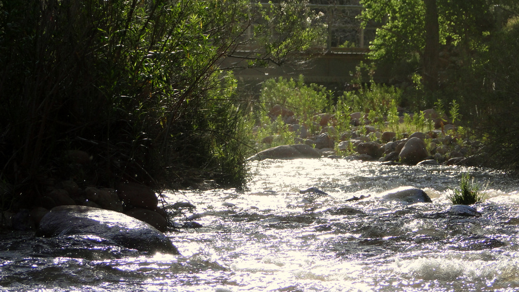
Just past Phantom Ranch, the walls of the canyon close in, forming narrow straights that are often as little as 30 yards wide. This twisting, sinuous section of canyon is known as “The Box” for the sensation it causes of being “boxed” in. The trail runs along narrows shelves on the sides of the canyon, and it frequently crosses the creek on a number of bridges.
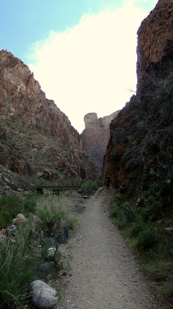
Everything in the box occurs vertically. Buttes tower 1,000 feet above, and the sheer cliffs on both side of the creek block out the sun. This is a dramatic and dizzying section of the canyon that stands in stark contrast to the wide-open vistas experienced on the South Kaibab Trail. It also hints at how different things will be on the north side of the canyon.

After passing through “The Box,” the canyon reaches the northern extension of the Tonto group rock layer. On the south, the Tonto group forms a broad shelf, which abruptly gives way to the Vishnu basement rock formation. On the north, this rock layer forms the bed of a wide canyon that is dominated on both sides by towering rock walls and buttes. These buttes are visible from the south side as an endless array of mesas and buttes that give the canyon its characteristic look. On the north side, these same buttes dominate the skyline, giving this area a feel reminiscent of Zion Canyon.
The North Kaibab Trail winds its way gently along this course for several miles before it reaches Cottonwood Campground. Past Cottonwood, the topography again changes in a spectacular and dramatic fashion, but that will be covered soon. This section of the hike may be the least dramatic, but it is also the least challenging in terms of hiking. The long, gradual uphill grade, coupled with the towering scenery make this a relaxing and enjoyable stretch, at least to the extent that carrying 40 lbs of weight on one’s back can be relaxing.

Along the way to Cottonwood, the North Kaibab Trail passes one of the loveliest waterfalls I’ve ever seen. I’m not usually a fan of waterfalls. I typically find them to be overrated, and, due to their immense popularity, I tend to avoid them. Given that we only saw two people, I was more than game to give this waterfall a try. However, we passed it on the initial stretch in favor of getting to camp and setting up our tents. For the next two nights, we would be staying at Cottonwood and hiking without the packs. That would have to come first before a visit to the lovely Ribbon Falls.

