 |
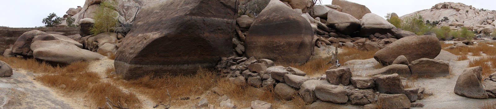
| Rocks showing the waterline within Barker Resevoir |
Distance: 4.5 miles
Elevation Gained: Not certain there is any
Difficulty: Easy
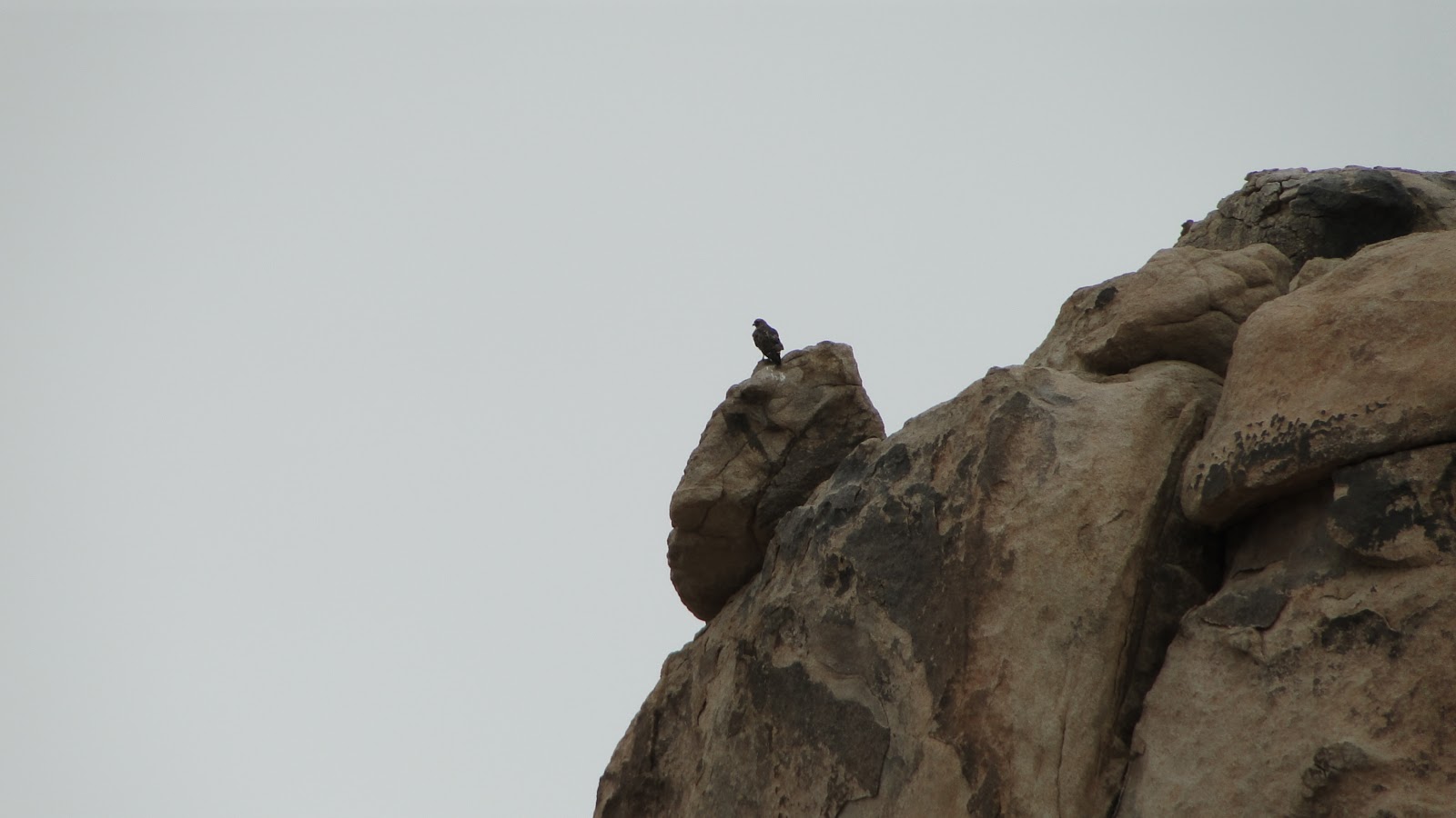
Critters: A roadrunner, a hawk
Everything in the desert is centered around water. Plants evolve elaborate responses to the climate such as small, waxy leaves that balance the need to conserve water with the need to photosynthesize abundant sun. Pinyon pines become accustomed to growing in the cracks wherever a modest amount of water accumulates. Cacti develop wicked spines to discourage other animals from using them as a water source.
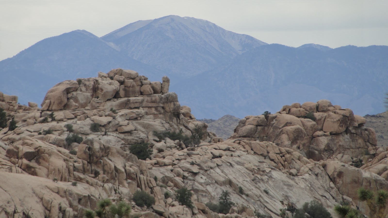 |
| Mt. San Gorgonio |
Humans use prodigious amounts of water, and when they are in a place where the availability of water is scarce and fleeting, they will construct resevoirs to try to hang onto a regular water supply for as long as possible. Barker Dam is one of those resevoirs, of which there are several in Joshua Tree, though none so large and popular.

The dam is constructed at the southern end of the Wonderland of Rocks. This wild maze of boulders is criss-crossed in all directions by a system of flood channels. Typically, the only water that accumulates in these channels does so in depressions, such as at Willow Hole on the western edge of the Wonderland. However, cattle ranchers required a steady flow of water to feed their cattle, and so a dam was erected immediately after the confluence of a number of flood channels.

At this point, the water that runs off during flash floods gets trapped behind the dam, forming a sizable resevoir from which the classic rock piles emerge. A number of willow trees have adapted by keeping their roots partially above ground, which allows them to sit on the top of the water when the resevoir is full. When the resevoir is empty, as it was today, the trees appear to be standing up on stilts.
As a result of so much water being available in one spot, Barker Dam becomes a popular meeting place for all kinds of species. Bighorn sheep water here, and there are a multitude of birds. Also ever-present are humans who come to walk the short, easy trail around a steady water source in a barren landscape. This trail is a popular one, and if you come here, expect to have at least some company.

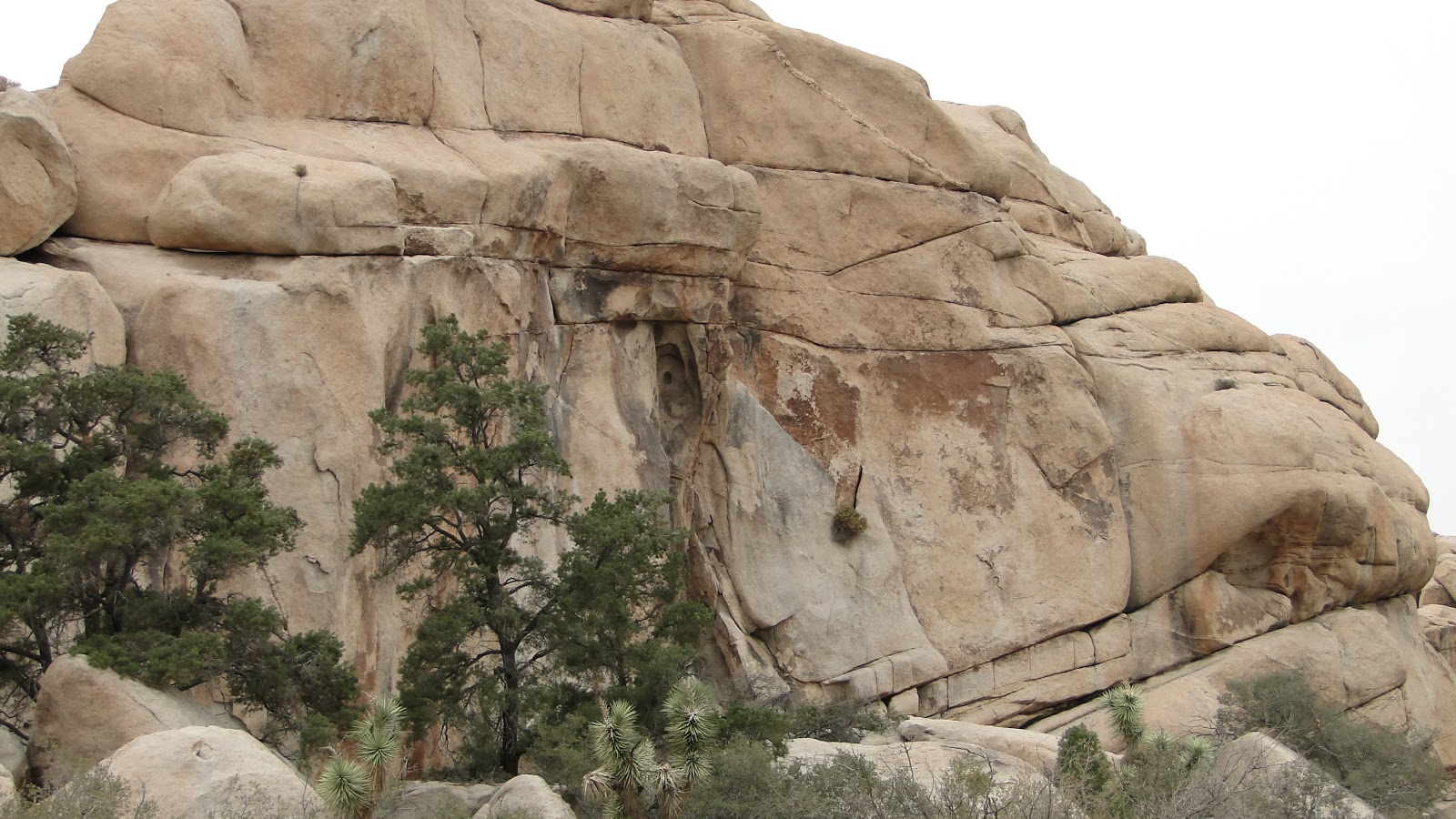
The dam is not the only man-made attraction on the Barker Dam Loop Trail. On the western end of the trail within a small valley similar to Hidden Valley, a small cave features a number of ancient petroglyphs. These petroglyphs are very well preserved, and wandering upon them is a wonderful experience. It is, perhaps, an even better experience than seeing a resevoir in the middle of the desert, since this is a bit of the scant remaining evidence of the local people who once called this region home.

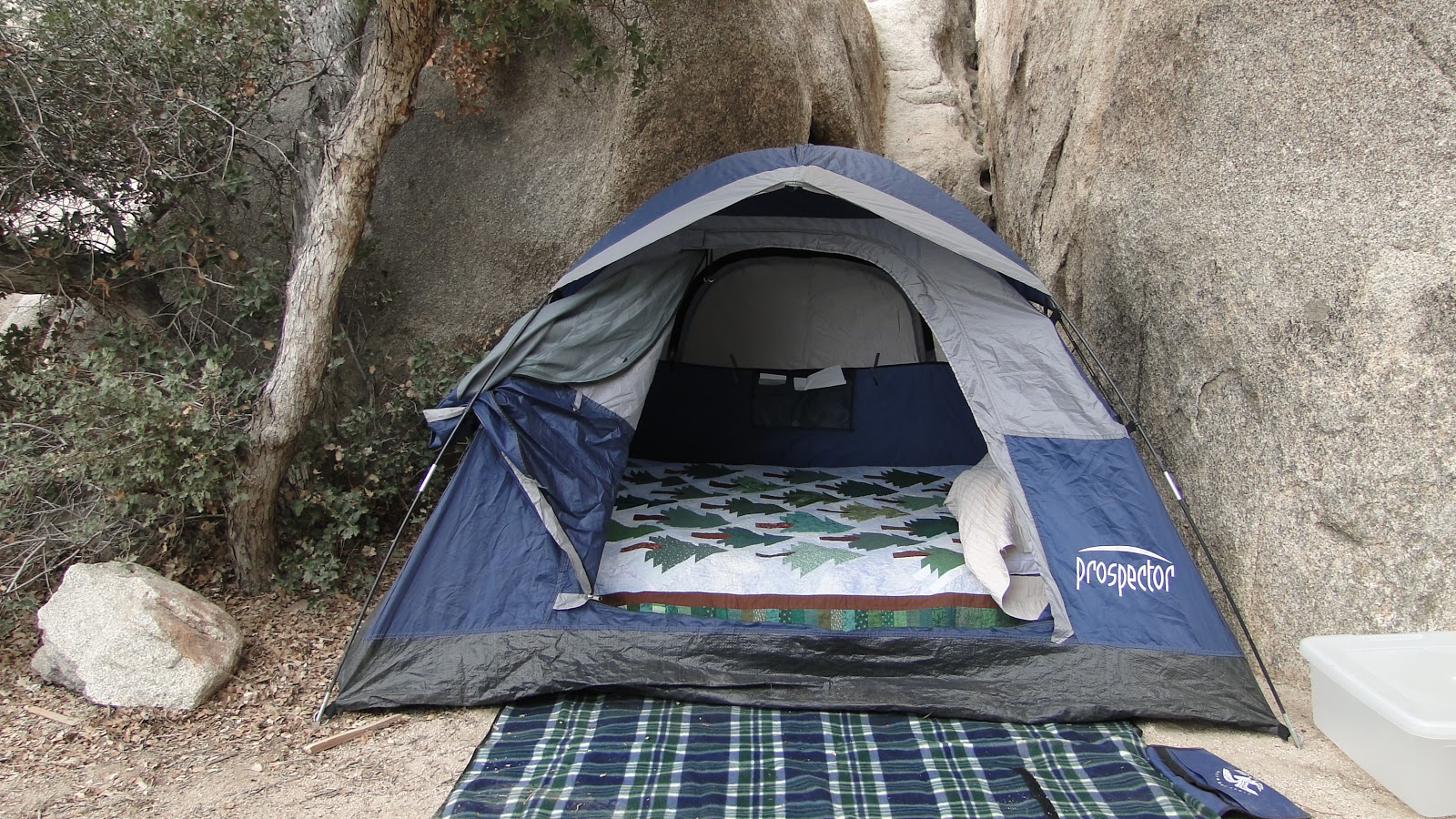
Although this loop trail is only 1.5 miles, I estimate that I added another 3 miles since I walked from the Hidden Valley Campground. If you’re lucky enough to beat the rock climbers to the punch by getting a campsite here, you’ll be in for a treat. It’s centrally located to most hiking and climbing destinations, and in some cases, you can easily walk to a number of trailheads. The only catch is that you cannot make reservations, which makes campsites hard to come by at this small, popular campground.