
Distance: 14.2
Elevation Gained: 2,500
Difficulty: Strenuous
Time: 6:50
Critters: Deer, Grouses
New Trees: Mountain Hemlock, White Pine
Details:
After months of hiking, planning, charting, and documenting, it all came down to one last hike. I had tried to work everything out so that my last hike in this process would be a memorable one to make a fitting end for what I had set out to do. Somehow, it wouldn’t have felt correct if I had hit 1,000 miles while poking along at Batiquitos Lagoon.
I had toyed around with some real lunacy when considering this hike. It’s possible to hike from the start of this trail at Tenaya Lake all the way down to the valley floor. This trail passes the base of Half Dome, and so I thought it might be fun to try to snatch a permit and bag Half Dome on the way back.
On one hand, I have plantar fasciitis, and while my feet essentially stopped hurting by the third day of the trip, a 23 mile hike sounded a little unreasonable. Secondly, I only needed 14 miles to make my goal, and the whole idea of pushing myself harder than necessary did not sit well with me.
However, this is Half Dome, and I might not have another chance to tackle it in the near future. So, I went down to the permit office and allowed Yosemite National Park rangers to decide for me. Because of their draconian and irritating permit system regulations, I would not be hiking Half Dome this trip. I may never hike Half Dome, and that’s okay, since I think Cloud’s Rest may be a better experience.

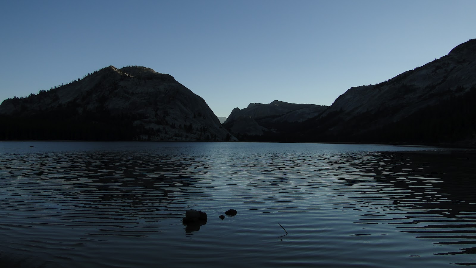
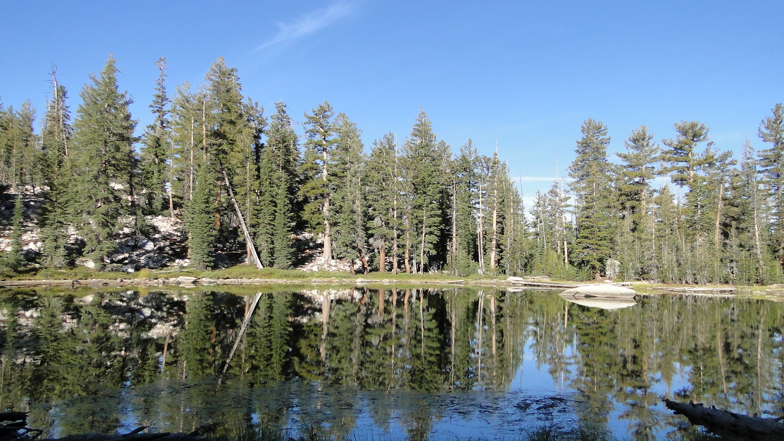
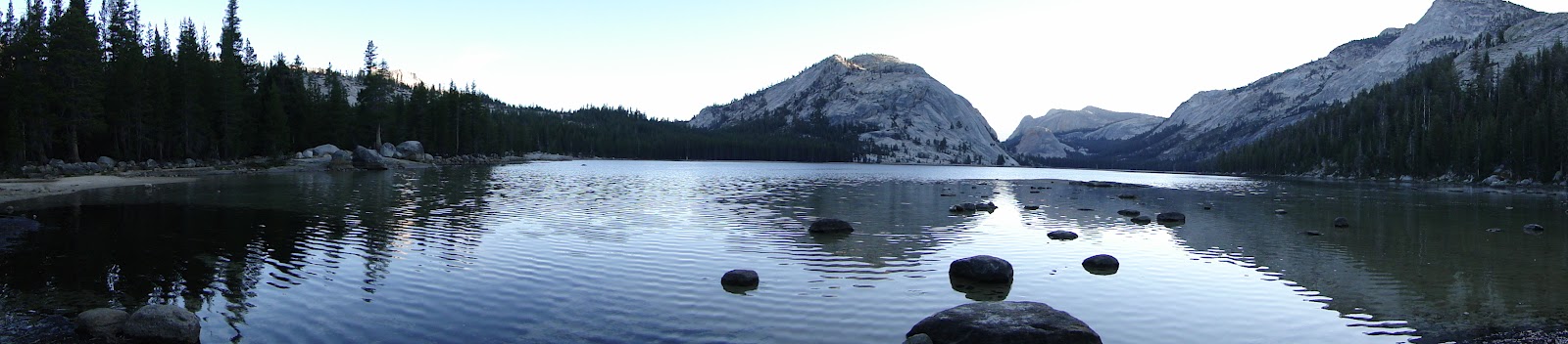
The easiest way to Cloud’s Rest begins in the Yosemite Upcountry at Tenaya Lake, a beautiful alpine lake nestled in among granite domes. The waters of Tenaya Lake also form the headwaters of Tenaya Canyon, of which Cloud’s Rest, not technically a mountain, but a glacial arete, forms the southern wall.
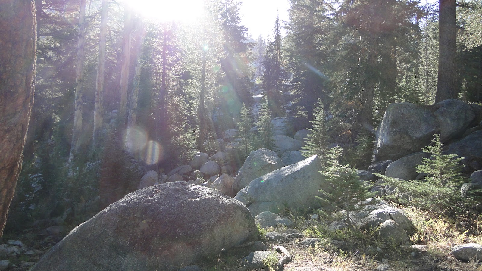
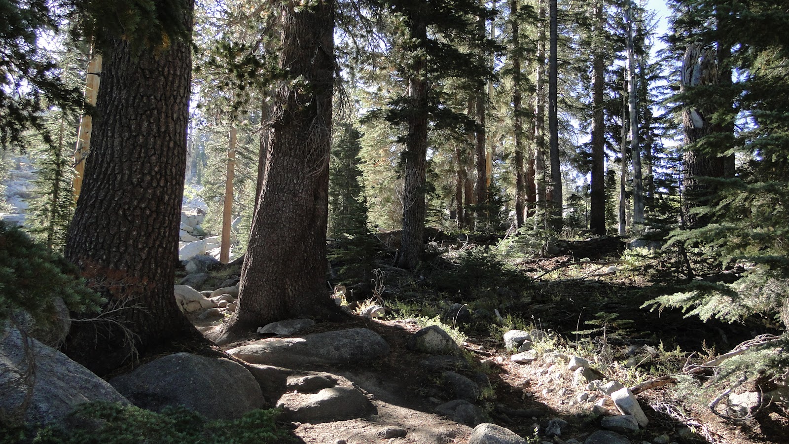
From Tenaya Lake, the trail begins a flat stretch through lodgepole pine forest before it hits a gruesome uphill stretch that sends you to the next valley over. This is the hardest stretch of the hike, as you gain 1,000 feet in about a mile, but after this, it is relatively smooth sailing.
I say relative because the trail goes up and down through various tiny valleys on its way to the base of the Cloud’s Rest peak. While these uphills aren’t significant, it is a little frustrating to have to hike uphill on the back half of a hike. If I had any gripe about this trail, it would be that. Although, “Screw you, nature, for having hills!” is not a reasonable response to a little climbing.
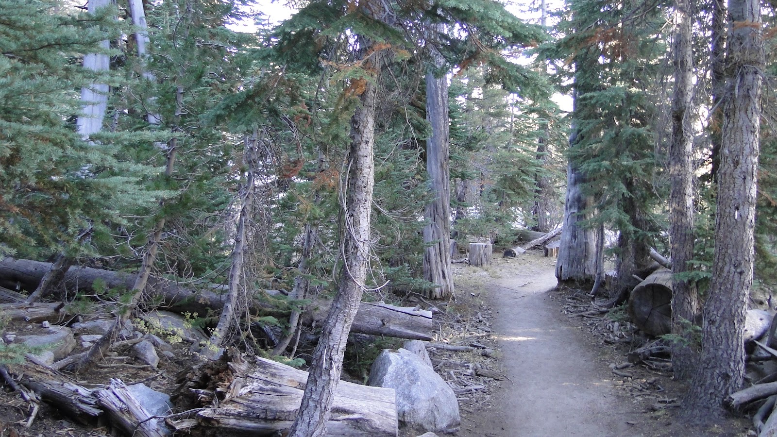
As I traversed this gently rolling country, I watched the forest change with every valley. Lodgepole pines gave way to a mix of trees new to me – White Pine and Mountain Hemlock. I enjoyed the demonstration of how new species emerge as you go farther north. Yosemite is 100 miles north of Sequoia, and even at that distance, plant species will change and evolve. Treeline lies about 800-1,000 feet lower since the higher latitude means colder temperatures. Yosemite even contains a glacier, still. It’s small, but it’s still a glacier.
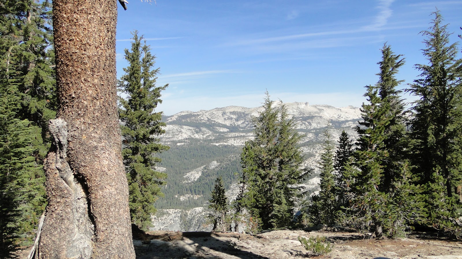
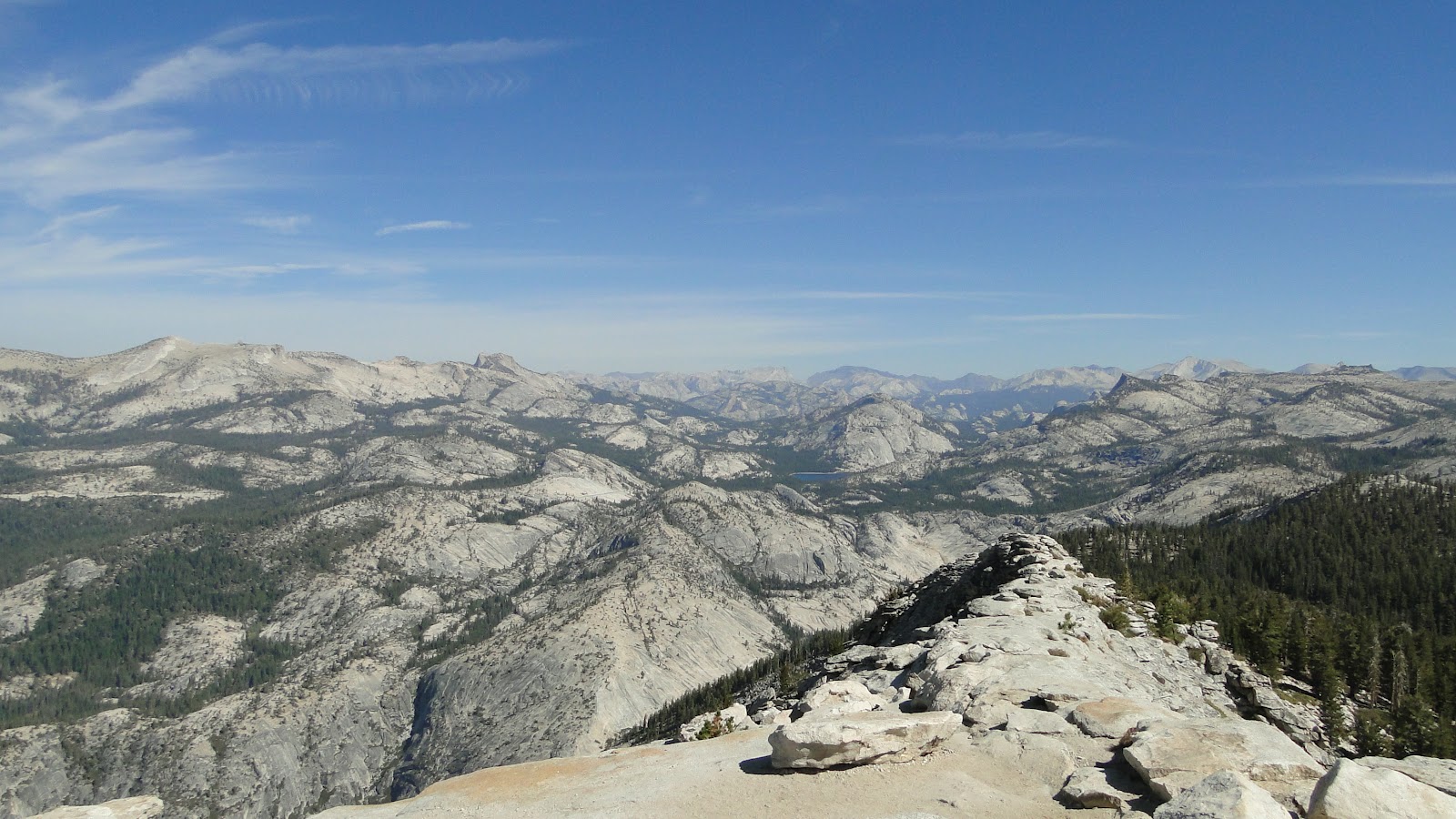
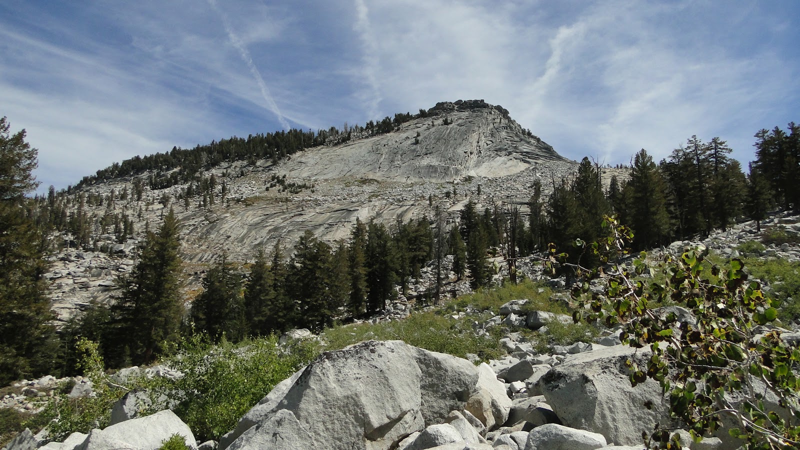
Anyhow, I finally came to a small saddle where I could see the peak of Cloud’s Rest poking over the thinning forest. I began the last climb and came to a sign that read Cloud’s Rest Foot Trail. The sign is a misnomer, though, since there isn’t a trail here. It’s more like a thin ridge of rock that runs along the spine of Cloud’s Rest.
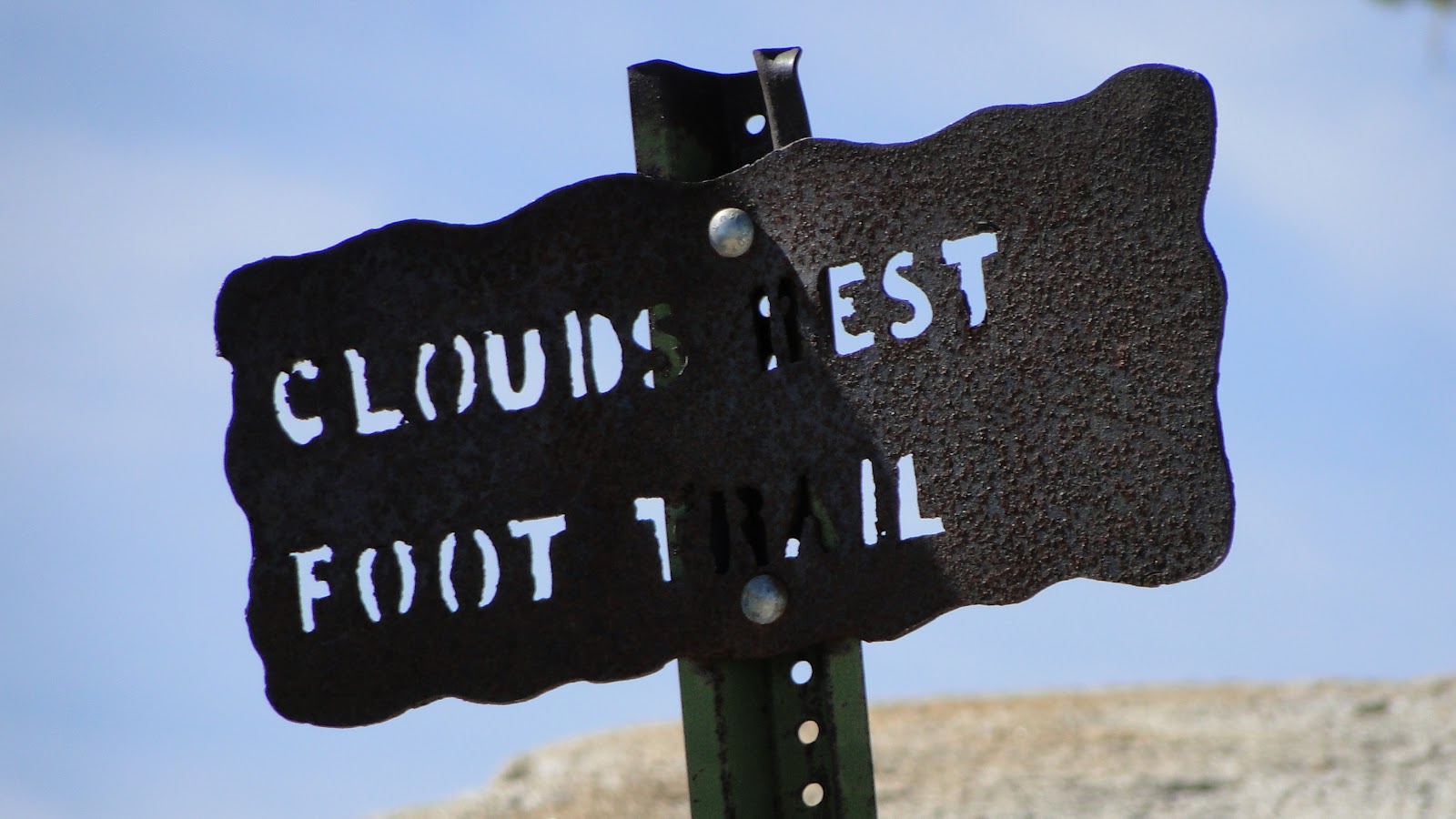
On either side, there is at least a thousand feet of dropping down a steep slope. It’s almost as harrowing as the famous Angel’s Landing Trail, which features a vertical drop on both sides. However, the spine of the mountain is wide enough that you never feel significantly endangered.

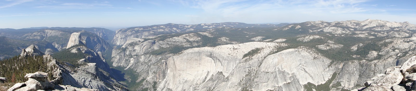
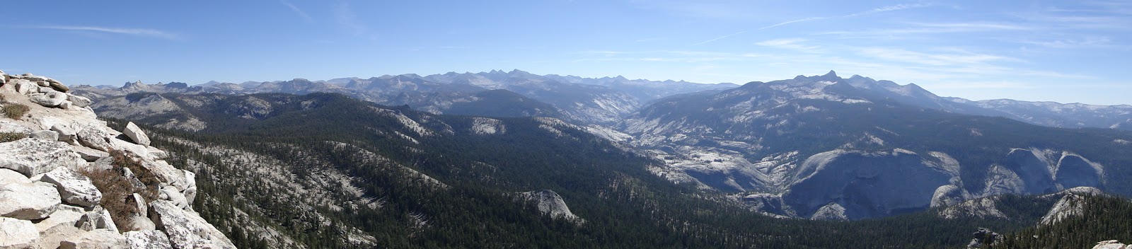
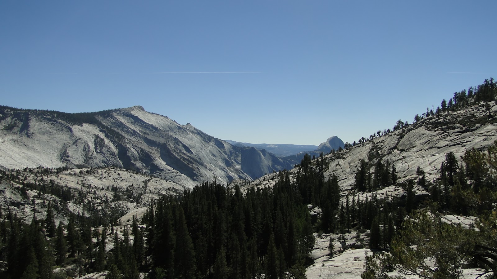
Finally, after crossing this rocky spine, I came to the summit. Half Dome loomed a thousand feet below me, and Yosemite Valley stretched out in a wide, curving gash 6,000 feet below me. Behind me, the Yosemite high country rose to its crest on the eastern side with numerous jagged peaks standing naked in the sun. To the south, Little Yosemite Valley stretched on to Merced Lake. To the north, the lower elevation of the mountain rolled on to infinite.
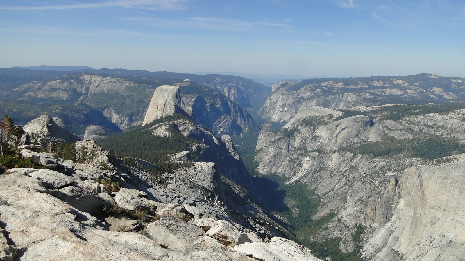
The view here is sublime, and it is every bit the equal of what you’d find on Half Dome. There were some chatty folks on the summit, but nothing near the crowd you’d find on the summit of Half Dome. Furthermore, there’s no permit system here, which means you can hike it any time you want without any hoops to jump through. If navigating a difficult permit system isn’t your thing, I highly recommend Cloud’s Rest.

After lunch on the summit, I turned around and motored home. The last stretch was agreeable, if somewhat hot on the uphills. I let my mind wander and had one of those hiking experiences where I would walk for half an hour and have a faint recollection of where I had been. Long hikes tend to be like that as your brain passes the time by going off on its own while your feet keep pounding. I’ve found that many a mental knot can get untied in this way.
Finally, I made it back to Tenaya Lake, and I knew without a doubt that I had finally reached my goal. I did it much sooner than expected but to the detriment of my feet. I now plan to take a much needed break where I start doing music and yoga instead for a while.

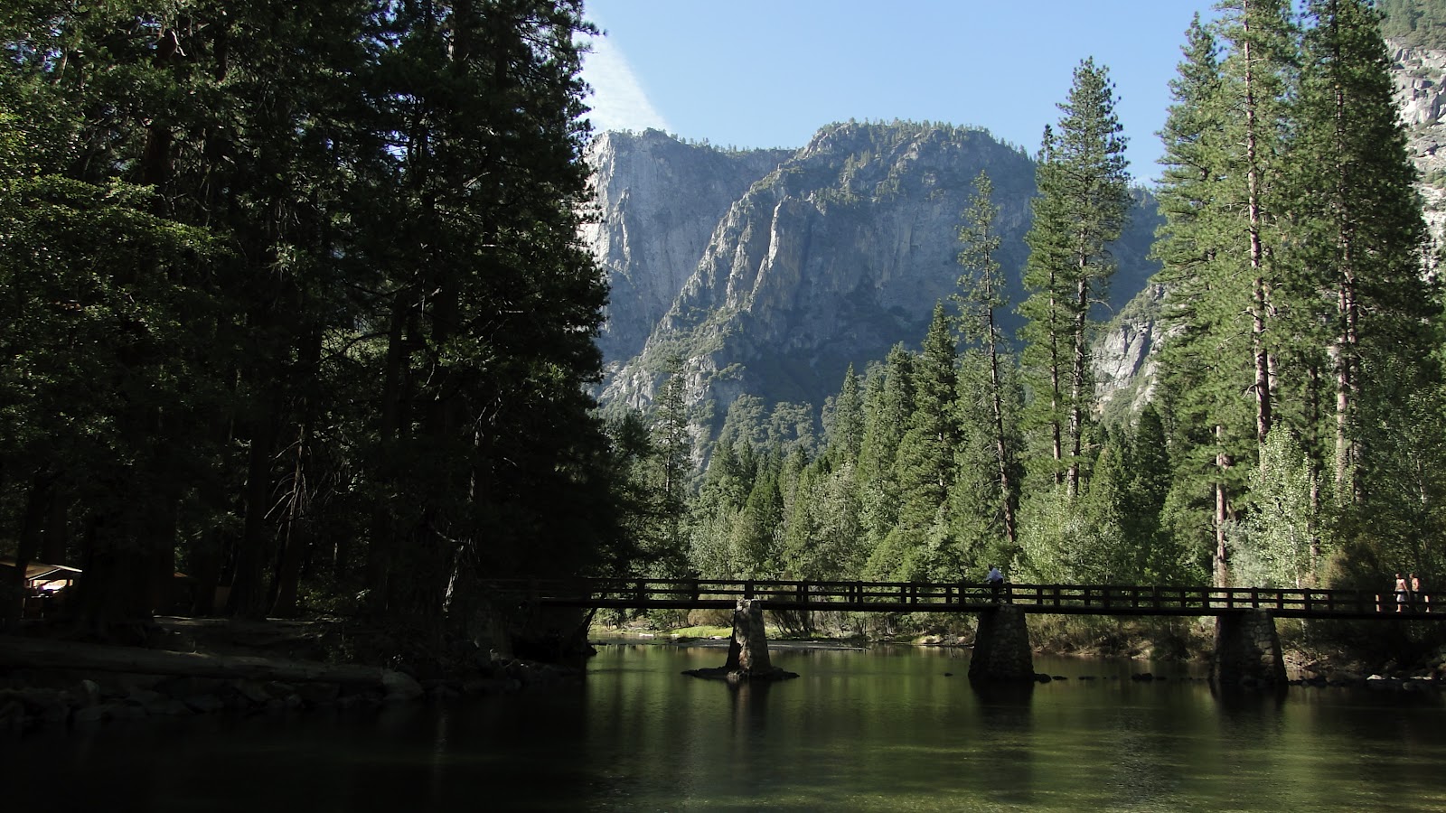
I capped off the day with a dip in the Merced River with Kelly’s family. I made a small revelation here: standing in an icy cold river for 20 minutes is the perfect way to eradicate soreness in the feet. I went into the river feeling sore and tired, and I came out feeling like new.
I’ll still be hiking and blogging, but there are a few things I will not be doing. First, I will not be trying to wrack up the miles with nearby local hikes. If I’m hiking, I’m doing it somewhere that can serve as a desirable destination. Not that the local hikes aren’t desirable, but after the 10th time at Penasquitos Canyon, it grew kind of stale.

Also, I will no longer be keeping track of how many miles I hike. From now on, it’s only hike write-ups and photography. I’ll get into why I’m doing this later and in more detail, but for now, know that I met my goal and decided that enough is enough.

If you’ve been following any of this blog at all, thanks so much for letting me share this with you.
September: 57.6 Miles
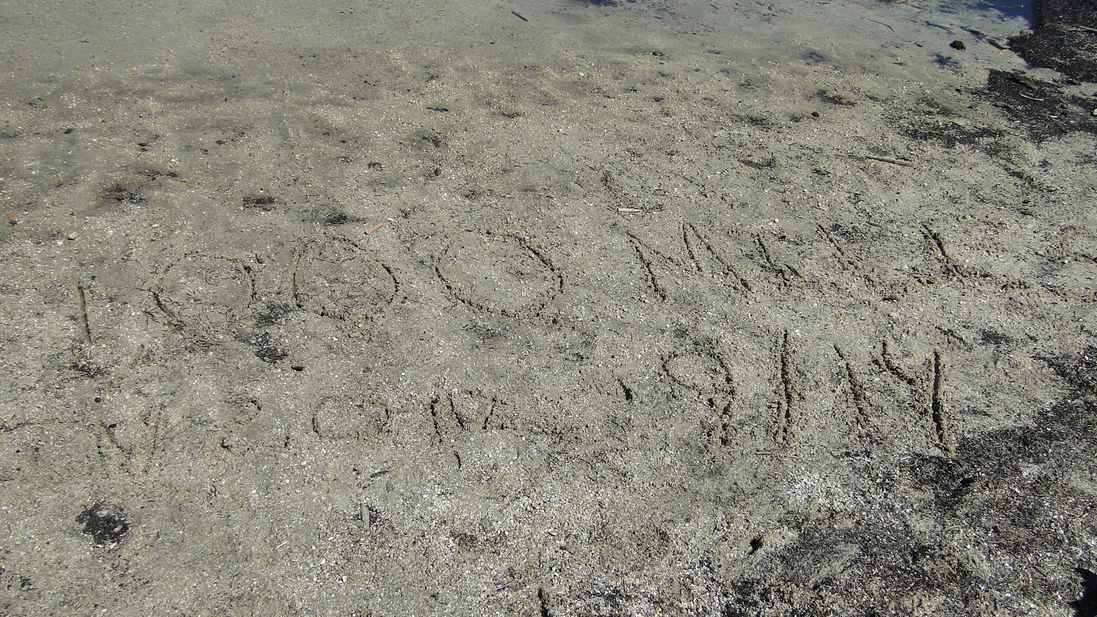
Year-to-Date: 1,002.7 Miles
