
Distance: 3.9 Miles (Porcupine Creek), 2.6 Miles (Snowmobile Trail)
Elevation Gained: 500′; 700′
Difficulty: Easy, Moderate
Time: 2:02; 0:56
Critters: None
Pros:
– Quality hiking time with Kelly and Dave
– Beautiful open sagebrush, pine, and juniper woodland
– Views of Lone Mountain and the surrounding mountains
Cons:
– None, unless wanting more is a con
On our second day in Montana, Kelly, Dave, and I set out to do Lava Lake, which is a moderately strenuous climb to a subalpine lake that was created by a massive rock slide damming Cascade Creek. However, the weather looked like rain, and the forecast was hinting that a trip to Lava Lake, which would be long and arduous, would ultimately be rained out.

As we racked our brains for alternatives, we realized that the Porcupine Creek Trail lay just a few miles up the road from the cabin. Based on what I knew, the trail was an easy 4.5 mile stroll along the creek and into the valley through which it runs. It sounded perfect for the three of us.

We parked at the trail head beneath a dense canopy of lodgepole pine, Engelmann spruce, and Douglas fir. The creek rumbled merrily along just past the small parking lot. The sky was gray and overcast, but it didn’t look like it was quite ready to rain on us.

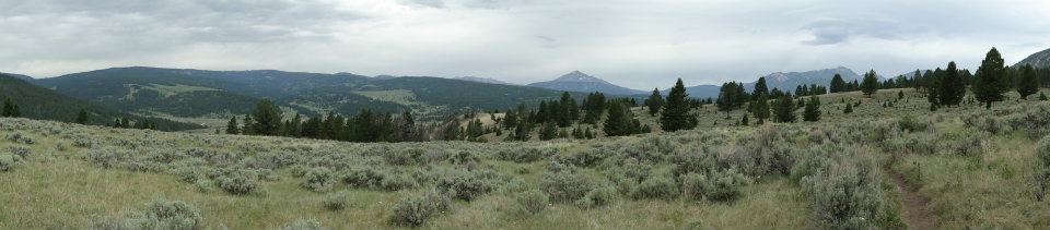
We set off and I promptly got us lost from the main trail. However, getting lost here would be anything but detrimental. We walked up an easy incline through vast, rolling meadows, blanketed with sagebrush and wildflowers. Pines, Douglas firs, and Rocky Mountain juniper studded the landscape, and we passed little pockets of woods as we climbed.

Eventually, we gained a ridge and saw Gallatin Canyon open up below us. We could see and hear the river roaring in a long, meandering ribbon across the valley floor. Directly below us, a group of horseback riders moved slowly across a long, flat plain. Lone Mountain’s summit rose about the hills to the west. Behind us, the meadow spread out below us until it met a tree line that contoured along the side of a mountain.
I knew we were off the main trail, but we all decided that we would roll with it. We climbed upward and began to follow the trail that cut across the ridge while darting in and out of the treeline. At times, the forest became somewhat dense. Occasionally, the sage and grass took over, leaving more solitary junipers and the occasional limber pine standing in solitude.
Eventually, we reached the high point on the trail, and it appeared that most of the trail options would lead us down toward the creek for a return trip. Not wanting to turn away from the gorgeous, rolling landscape, we veered off on a trail that promptly began a steep climb. Once we reached what had originally appeared to be the top of that climb, we saw more climbing, leading Dave to announce that he had climbed enough.

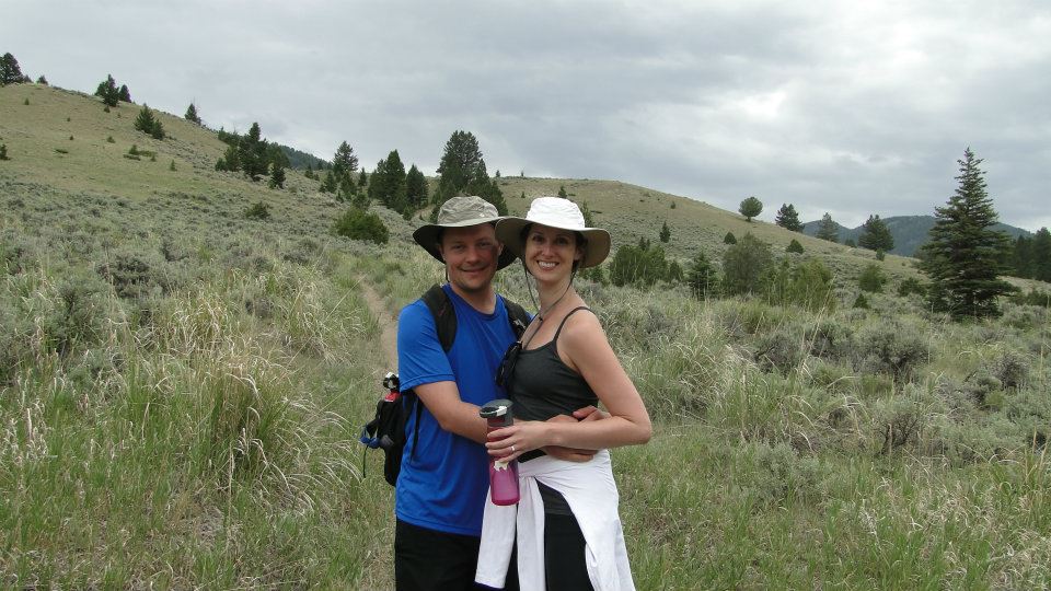
Cheerfully, we turned back and began a leisurely return trip, during which we stopped for pictures to further celebrate our engagement, generous gulps of water, and more light, easy camaraderie. Before long, the trail made it’s way to Porcupine Creek, which is followed by a well-maintained trail. This trail goes for miles and miles in an easterly direction, but, as we approached 4 miles, we knew it would soon be time to call it a day.

We followed the creek all the way back to the car while hoping both to see and avoid any large wildlife like a bear or a moose. Fear of bears and, perhaps more appropriately, moose, is a primary concern on most hikes in Montana, and we carried bear spray and a bear bell to ward off any ungulates or ursine fellows with nefarious purpose. However, no creature was seen from here to there, save a pair of mountain bikers, and we finished our hike without incident.
However, Charlie Bear would soon make his first appearance on this trip on the next day, in which Kelly and I would climb to Lava Lake.
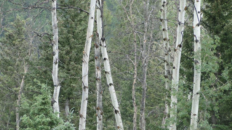
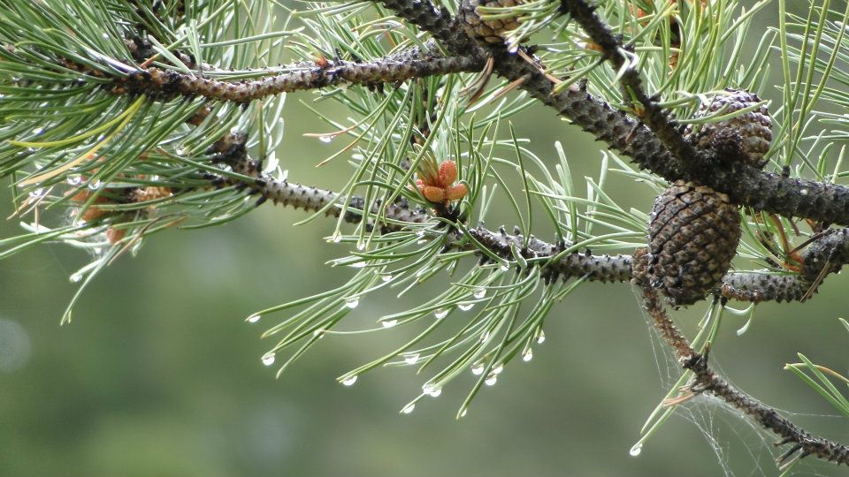
There was one other hike on this day, but it was only a repeat of the hike from the previous day. I hit the snowmobile trail across the road and found a less tortuous ascent. I followed the trail for a mile longer than the last time, and saw more gorgeous patches of forest alternating with wide-open meadows. The best park of this hike was that it followed a rainstorm, which left the forest glistening with raindrops, as well as the trail in a muddy, sticky mess.
July: 8.4 Miles
Year-to-Date: 762.8 Miles
